Introduction
The Anella Verda (Green Ring) itinerary runs through the eastern sector of Girona municipality, linking up the natural spaces near this part of the city.
We recommend the Local Natura App to do this route. Download it for free here:
Apple store Google Play-
TypologyLinear
-
DifficultyEasy
-
Duration2 hours 30 minutes
-
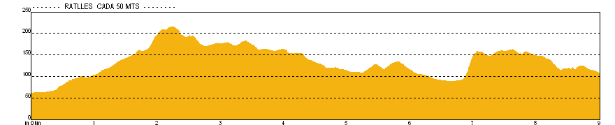
Slope252.00 meters
-
Distance9.00 km
-
ThemeEnvironmentLandscaping
-
ActivityBy footBy bike
-
Rating
Slope graph
Description
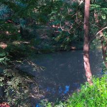
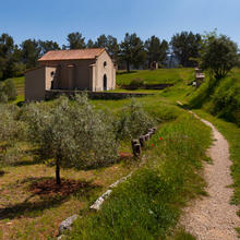
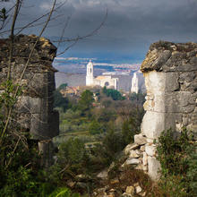
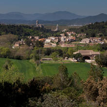
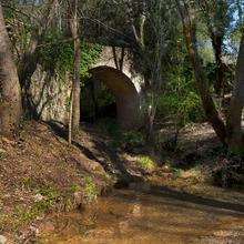
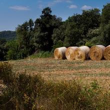
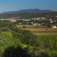
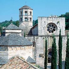
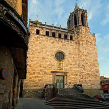
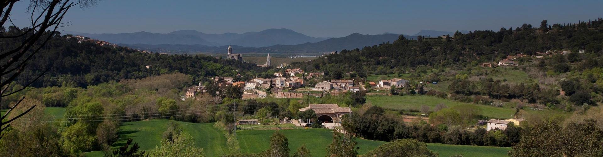
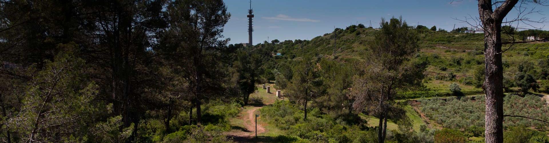
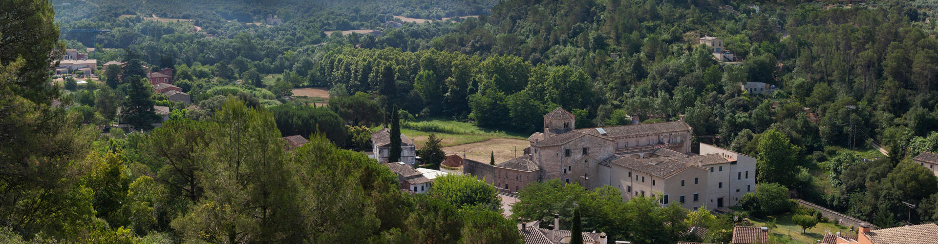
The route departs from the banks of the river Onyar and ends at the farmlands of Campdorà. On its way, it goes through a representative range of natural landscapes and environments, taking in several heritage and ethnographical features related to the traditional uses of these spaces.
The Anella Verda route can be completed from south to north or vice versa. Shorter options include starting from Girona’s Old Quarter and heading either northwards or southwards.
This is not a circular route. Public transport is available at both ends, with buses running regularly from the centre of Girona to both the departure point and the finishing point.
Tips
TRAÇAT
- Llarg però fàcil.
- Molta pista transitada per cotxes
- Es pot fer en els dos sentits.
- Pensar que és lineal. Si no volem anar i tornar, s’hauria de deixar un cotxe a un dels dos extrems.
- A mig camí podeu tornar cap a Girona per la Vall de Sant Daniel.(us avisarem)
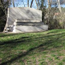
AIGUA
- Portar aigua.
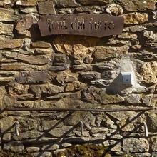
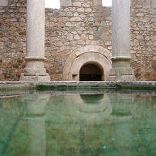
- Font del Ferro a mig camí.
PRECAUCIONS
- Trànsit rodat. Motos, cotxes.
- Respecteu la propietat privada.
METEO
- Evitar les hores centrals dels dies d’estiu.
MATERIAL
- Calçat còmode.
- Protecció solar a l’estiu. Gorra, ulleres, crema.
- Pals de tresc.
- Si la feu en BTT el casc és obligatori.
ALTRES EQUIPAMENTS
- Zona de lleure a la Font del Ferro.