Introduction
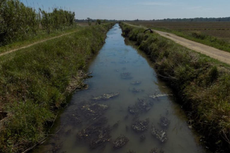
The irrigation channels you can now see are part of the system which has the Rec del Molí, known here as the Rec de Pals, as its main axis. This channel starts at the Canet dam, on the Ter, and increases in size where it is joined by the branch of the Daró Vell, the old course of the river from before its current diversion at Gualta, which now flows into the Ter before passing next to Torroella de Montgrí. The flat land you are now on which surrounds the mills of Pals and stretches as far as the Mas Gelabert farmhouse, receives other water courses from les Gavarres and the Begur Mountains as well as the irrigation channel mentioned above. It is the area of the old lake and marshes of Pals and is where rice is grown in the Empordanet and the Baix Ter. From the Pals mill to beyond the Mas Gelabert farmhouse, then, all of these different irrigations channels and ditches combine, making the Rec del Molí de Pals bigger, and flow into the marshland between the beach of la Fonollera and the beach of Pals, forming the Closa de l’Anser and eventually flowing into the sea.