Introduction
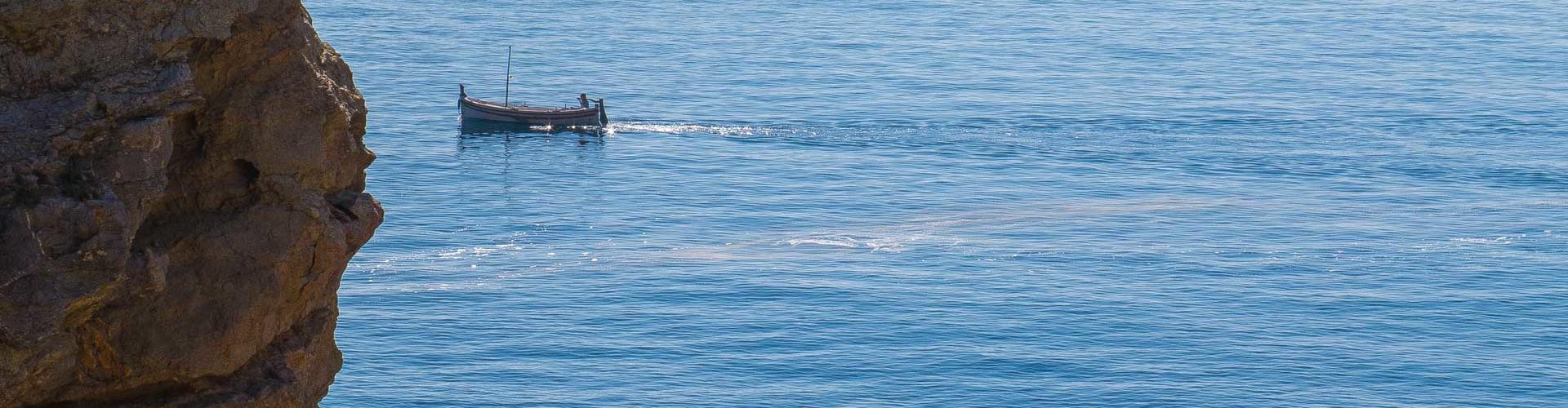
Sea cliffs
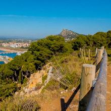
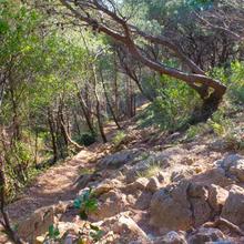
The route to Cala Calella is very beautiful. It is a very enjoyable and varied route which follows cliffs with excellent views of l’Estartit and its beach, the Medes Islands, Roca Maura and the rugged coastline. The route leads to Cala Calella through rugged rocky scenery typical of the coastline, where you can discover some of the features that make it unique. On the way back, you pass through the garrigue and groves of Aleppo pine of the Muntanya Gran, now following easier paths.
IMPORTANT: From 15 January to 15 June, access to the section from Cala Calella is prohibited so you will have to return on your outbound route. The cliffs after Cala Calella are a sensitive area for threatened species.
We recommend the Local Natura App to do this route. Download it for free here:
Apple store Google Play-
TypologyAnti-clockwise circular
-
DifficultyEasy
-
Duration1 hour 57 minutes
-
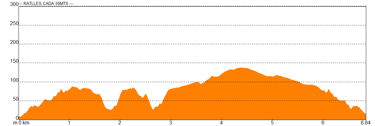
Slope245.00 meters
-
Distance6.84 km
-
ThemeFlora and faunaLandscaping
-
ActivityBy foot
-
Rating
Slope graph
Description
Sea cliffs
The route to Cala Calella starts just in front of the tourism office in l’Estartit and follows the promenade towards the port. It then leaves the promenade and heads uphill along Carrer del Cap de la Barra, where the houses on the seafront briefly block the view over the port and the bay.
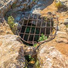
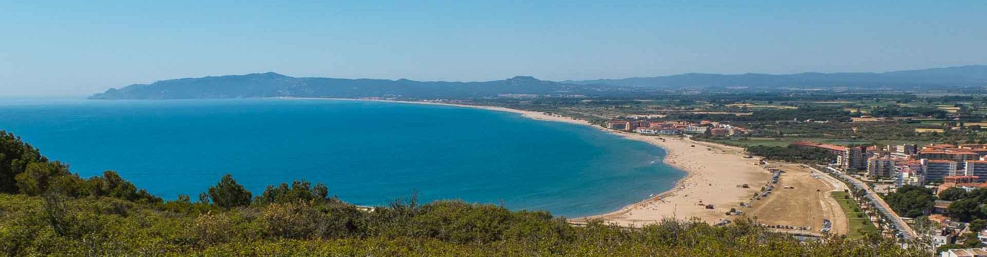
Where the road ends, you climb some stairs to the top of the mountain, coming to the Cap de la Barra viewpoint after a few metres, where you can enjoy outstanding views of l’Estartit, its beach, the Medes Islands and Roca Maura. Follow this route and after a few metres you can stop to look at the geological curiosity of the Pou de la Calella sinkhole.
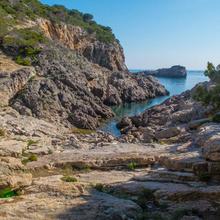
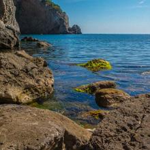
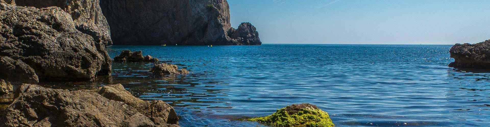
Some 200 metres further on, the route starts descending steeply, following a gulley which leads to the cove. Cala Calella is especially noteworthy for its rocks and the narrow inlet of clear, calm water which make this place so special.
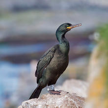
From this point you can return to the starting point, but if you want more, it is well worth following the coastline along the clifftops to the Port de Falaguer, where you can discover more about the fauna and flora that lives there.
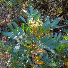
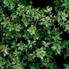
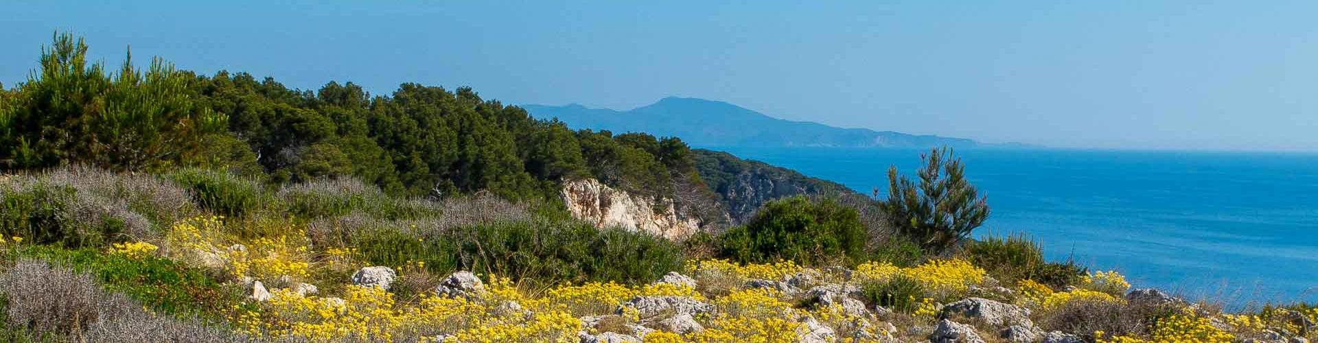
From this point, the trail leaves the coast to head steeply upwards towards the north-west until it meets a trail which leads easily back to the starting point. The trail mainly follows areas where garrigue dominates, with grey-leaved cistus and rosemary and scattered examples of wild olive and Aleppo pine.
IMPORTANT: From 15 January to 15 June, access to the section from Cala Calella is prohibited so you will have to return on your outbound route. The cliffs after Cala Calella are a sensitive area for threatened species.
Tips
ROUTE
- Route with sections with no signal. DO THE ROUTE OFFLINE
- The route alternates between trails and rocky paths.
- On some stretches the green and white marks of the local path help with following the route.
- If you prefer, you can go to Cala Calella and return on the same path, although we recommend doing the circular route.
- Short but steep climbs and descents on the coast path.
WATER
- Bring plenty of water, especially in summer.
PRECAUTIONS
- Very high cliffs.
- Risk of falling if you get too close.
- On the descent to Cala Pedrosa, the rocks are smooth and slippery, especially when wet.
- Keep a close eye on children.
- There are lots of small paths leading to the cliff-edge. Caution!!
- Respect people’s private property and the surroundings in general. You are in a Natural Park.
- Take care not to twist your ankle on the rocky paths.
WEATHER
- The coastal path is uncomfortable on days with strong wind.
- Wear suitable clothing for the time of year and the weather forecast.
TERRAIN
- In general, the trails are comfortable and the paths are rocky.
- Some uphill or downhill sections are on steep and rocky narrow paths.
EQUIPMENT
- Wear comfortable shoes with a good grip.
- Protection from the sun or wind if necessary.
- Camera.
- Food to eat at the half way point, before returning.