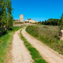
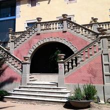
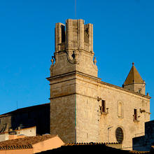
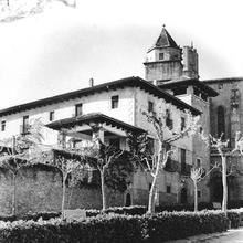
Palau-sator. Baix Empordà. Parc Natural del Montgrí, les Illes Medes i el baix Ter.
Poblat ibèric d'Ullastrell amb el Canigó al fons.
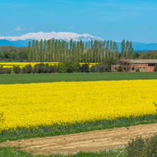
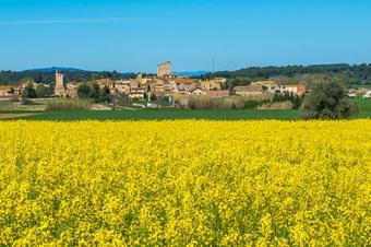
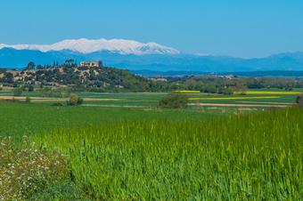
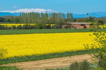
Plana de l'Empordà amb el Canigó al fons.
Vistes al puig de la Font Pasquala des de Llabià. Baix Empordà.
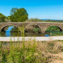
Pont Vell de Gualta. Baix Empordà.
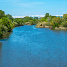
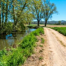
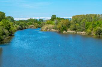
El Ter. Parc Natural del Montgrí, les Illes Medes i el baix Ter.
Bellcaire
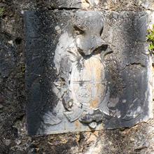
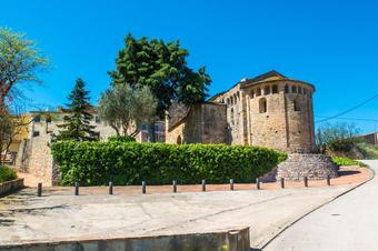
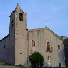
Sant Joan de Bellcaire. Alt Empordà
Return

Bike tour of the Natural Park 1/2

Route
24/04/2018
Index card

Introduction

The Romanesque, the Empordanet and the Pyrenees

The first of the two stages exploring the Montgrí, Illes Medes and Baix Ter Natural Park. This is definitely one of the most interesting suggestions for exploring the Romanesque towns and villages of the Baix Empordà and the immediate surroundings of the Montgrí Massif by bike.

Charming towns and villages, endless fields of crops on the Empordà plain, the Pyrenees as a backdrop and the coastline of l’Escala as a culmination, are the incomparable attractions of this outstanding route.

We recommend the Local Natura App to do this route. Download it for free here:

Apple store Google Play

  • Typology
    Crossing
  • Difficulty
    Median
  • Duration
    3 hours 43 minutes
  • Slope
    217.00 meters
  • Distance
    48.22 km
  • Theme
    Architecture and environment
    Landscaping
  • Activity
    By bike
  • Rating

Slope graph

Description

The Romanesque, the Empordanet and the Pyrenees

This first stage starts in the car park on Carrer de Pau Companyó in Pals and passing along the streets of the old town, you set off towards Viladamunt, surrounded by farmland. Next, you go from here to Fontclara and Palau-sator. 

Each one of the villages you pass by on this bike route is worth stopping in for a visit.

Next, you pass through and admire the old villages of Llabià, Fontanilles and Gualta with the Canigó Mountains as a backdrop.

You then follow the channel of the Daró and the course of the Ter until you cross it at the level of Torroella. For several kilometres, you pedal between cultivated fields, mainly fruit tree orchards, until you start to see views of Bellcaire d’Empordà and follow the Rec del Molí, which accompanies you as far as l’Escala.

In l’Escala, you pass by the Masos de les Corts, cross the Muntanya Rodona, and following the Camí de les Corts, come to the neighbourhood of Sant Martí d’Empúries.

From here, all that is left is to follow the stunning coastline of Empúries and l’Escala as far as the beach of els Riells, the end point of this first stage.

Tips

Route

  • A large majority of the route follows quiet roads and comfortable tracks with a few short stretches on paths.

Water           

  • Take water, especially in summer.
  • You can get water from the fountains in the villages.

Precautions

  • Look out for cars on the road sections and where you cross over them.

Equipment

  • Wearing a helmet is compulsory when riding a bike.
  • Check your bicycle and make sure it is well maintained.
  • Take a spare inner tube, pump and Allen keys.
  • Protection in sunny weather. Sunglasses, hat, sun cream.
  • Suitable clothing on windy days or if rain is forecast.
  • Binoculars for watching birds and for the viewpoints.
  • Camera.

Weather

  • Check the weather forecast before starting the route.
  • Strong winds can increase the route’s difficulty.

Save the route

What is there

What to see in: Bike tour of the Natural Park 1/2

Es mostren 1 - 7 de 7

The Empordanet and the Pyrenees

Point of interest
Landscapes
24/04/2018

​​​​​​The Empordanet is the name by which the land of the Empordà is known, mainly in literary styles. The variety and richness of the fields of crops which take advantage of the alluvial plain on...

The Pont Vell of Gualta

Point of interest
Architecture
24/04/2018

The current bridge replaces an older one, possibly of Roman origin. This bridge has five arches of different widths and was built between the sixteenth and seventeenth centuries over the river Daró.

...

El Ter

Point of interest
Geology
24/04/2018

Els boscos de ribera en bon estat de conservació realitzen una important funció ecològica i paisatgística amb presència de les espècies autòctones com el salze blanc (Salix alba), el freixe de fulla...

Ullà Dam

Point of interest
Environment
24/04/2018

​​​​​​The current dam appears to replace an older one. This specific one was built by Don Joan Çarriera i de Gurb in 1679. Although the original function of the Rec was to provide water for the Dalt...

Apple trees

Point of interest
Flora
24/04/2018

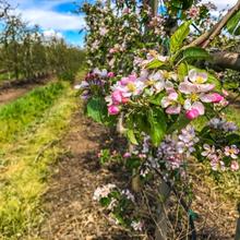
​​​​​​You are now on the Ter’s alluvial plain with its very fertile soil, like most of the land in the region, something which has enabled a great variety of crops to proliferate. Intensive irrigated...

The Rec del Molí

Point of interest
Environment
24/04/2018

​​​​​The Rec del Molí is a water channel of medieval origin which diverts the water of the river Ter from the Colomers dam. The main channel passes through several municipalities in the Baix Empordà...

Land of pirates

Point of interest
Architecture
24/04/2018

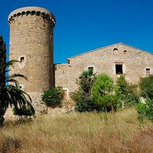
​​​​​You are facing the Masos del Corts, specifically between Mas Feliu (Can Baix), to the right, and Mas Torreportes (Can Noguera), to the left. Both have defence towers with a round floorplan...

Images
Rating
/5
1 vote
80%
Ratings with comments Publish rating
La ruta nos ha parecido genial, sobre todo esta primera etapa.
Ruta molt agradable i plana, es pot fer amb btt o gravel.
Visits

What to see in: Bike tour of the Natural Park 1/2

Es mostren 1 - 10 de 18
  • Filter by type
    Theme
Services

What to do in: Bike tour of the Natural Park 1/2

Es mostren 1 - 3 de 3
  • Filter by type
    Theme