Introduction
This route runs through forest, river, and agricultural landscapes, allowing you to discover three different environments and enjoy the natural surroundings just a stone’s throw from the historic city centre of Girona.
We recommend the Local Natura App to do this route. Download it for free here:
Apple store Google Play-
TypologyAnti-clockwise circular
-
DifficultyFor families
-
Duration1 hour 25 minutes
-
Slope117.00 meters
-
Distance3.70 km
-
ThemeArchitecture and environmentLandscaping
-
ActivityBy footBy bike
-
Rating
Slope graph

Description
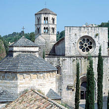
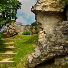
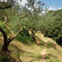
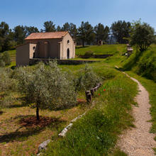
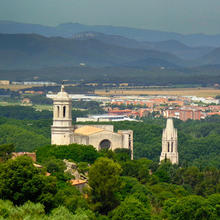
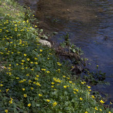
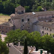
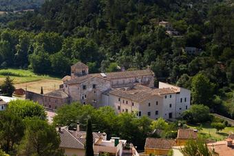
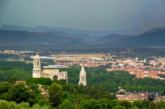
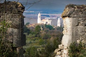
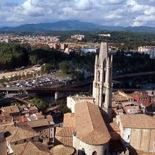
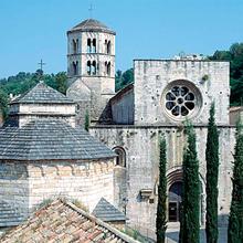
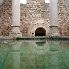
Starting from the monastery of Sant Pere de Galligants, the route first goes along the Archaeological Walk until reaching Torre Gironella district. It continues past the fourteen shrines on Camí de les Creus (Way of the Crosses), and goes on to Calvari hermitage set in a landscape of olive groves. From the Calvari redoubt (in ruins), there is an impressive panoramic view of Sant Daniel valley, after which the route descends the Mountain of O along a track through the woods until it reaches the River Galligants. From there, it leads back to the starting point through a peaceful, leafy riverside area known for its historical connotations and its many natural springs.
Tips
TRAÇAT
- Una primera part de pujada fins la Muntanya de la O, per desprès tornar cara avall pel costat del Galligants.
- Hi ha dos punts on cal que us desvieu una mica (5 min) per arribar: El Mirador de la Muntanya de la O, val la pena.
AIGUA
- Porteu aigua. La font de les Cucurulles no sabem si raja sempre.
PRECAUCIONS
- La baixada de la muntanya de la O fins el Galligants és forta i pot relliscar.
METEO
- La primera part del itinerari està molt exposada al sol.
MATERIAL
- Protecció solar els dies d’estiu. Gorra, crema i ulleres.
- Si la feu en BTT el casc és obligatori.


