Introduction
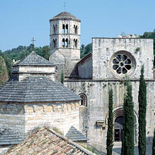
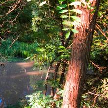
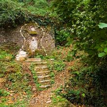
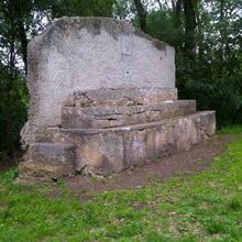
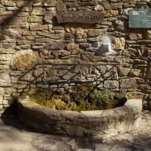
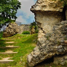
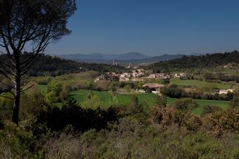
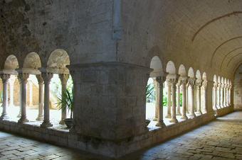
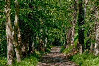
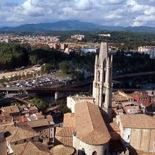
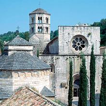
This circular route takes in the main features of Sant Daniel valley, one of the best-conserved natural spaces in Girona city.
We recommend the Local Natura App to do this route. Download it for free here:
Apple store Google Play-
TypologyAnti-clockwise circular
-
DifficultyEasy
-
Duration2 hours
-
Slope172.00 meters
-
Distance7.40 km
-
ThemeEnvironmentArchitecture and environmentLandscaping
-
ActivityBy footBy bike
-
Rating
Slope graph

Description
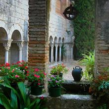
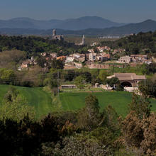
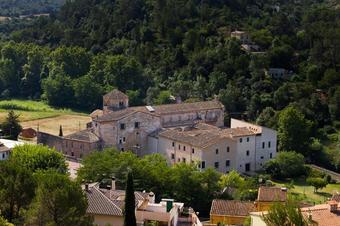
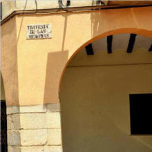
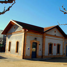
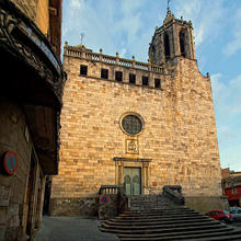
The first part of the itinerary goes through the historic centre of Sant Daniel village, annexed to Girona city since 1963, but retaining much of its original rural charm.
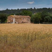
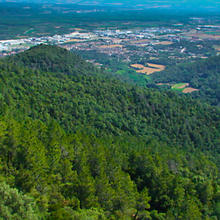
The built-up area leads on to pastures and crop fields, a reminder of the former economic activity of this locality, gradually giving way to the woodlands of the Gavarres massif protected natural space.
Tips
TRAÇAT
- Principalment per pistes còmodes.
- En arribar a la Plaça de les Sardanes, si no voleu seguir el track, només cal que seguiu recte direcció Girona i trobareu el camí per on heu pujat.
AIGUA
- Porteu aigua.
PRECAUCIONS
- Les pistes poden estar transitades per cotxes i motos. Vigileu.
- Els cotxes a l’estiu fan pols.
- Respecteu el medi natural i la propietat privada.
MATERIAL
- Calçat còmode.
- Pals de tresc.
- Prismàtics per als miradors.
- Màquina de fotos.
- Si la feu en BTT el casc és obligatori.


