Introduction
Stage 4. From Torroella to the beach of Riells de l’Escala through the Montgrí and Sobrestany
The fourth and final stage of the Montgrí and the Baix Ter Route starts from Plaça del Lledoner in Torroella de Montgrí – a start and end point shared with the other stages – and it goes to the beach of Riells de l’Escala, exactly the same spot where the first stage starts, thus completing the figure of eight. It ascends to the castle of Montgrí and the Montplà, following the ridge line of the secondary mountains in the Montgrí and it then passes across the plain of the old lakes of Bellcaire and l’Escala.
We recommend the Local Natura App to do this route. Download it for free here:
Apple store Google Play-
TypologyCrossing
-
DifficultyMedian
-
Duration5 hours 30 minutes
-
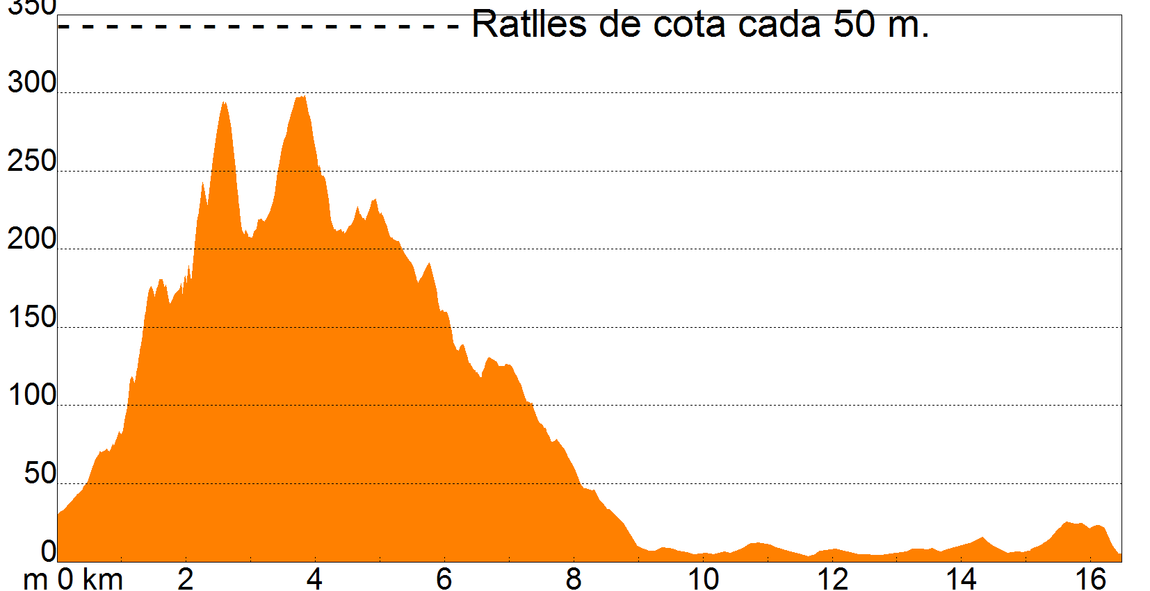
Slope450.00 meters
-
Distance16.50 km
-
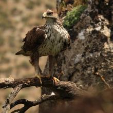
ThemeFlora and faunaGeologiaEnvironmentArchitecture and environment
-
ActivityBy foot
-
Rating
Slope graph
Description
Stage 4. From Torroella to the beach of Riells de l’Escala through the Montgrí and Sobrestany
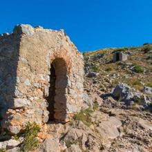
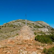
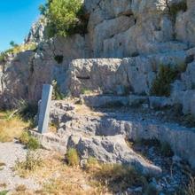
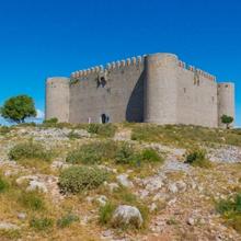
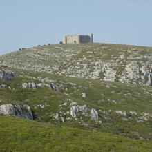
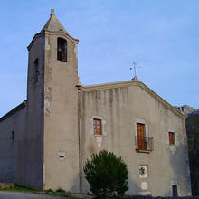
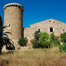
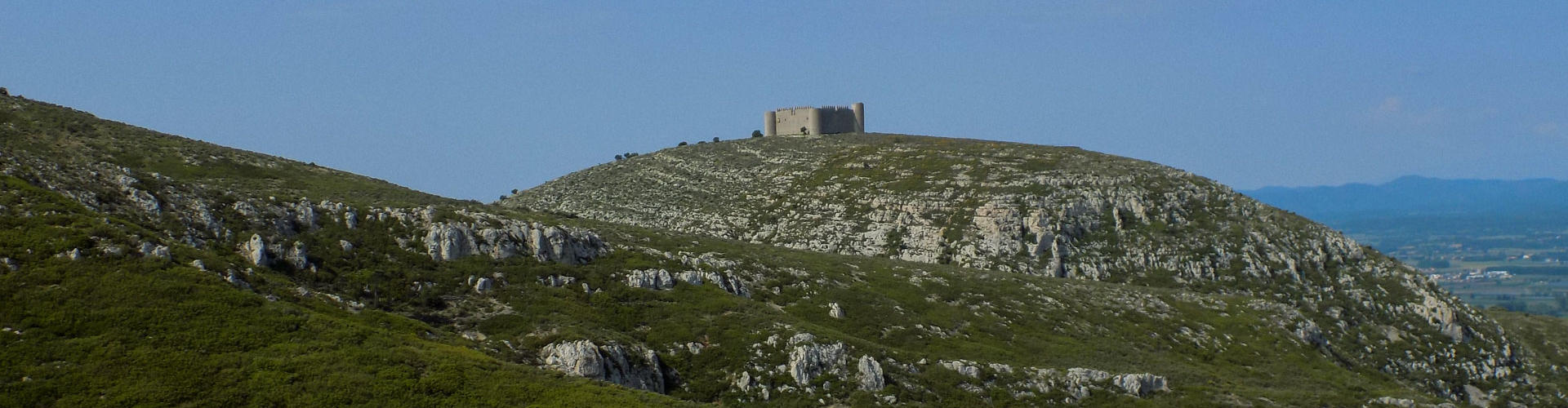
The route leaves Torroella de Montgrí on the old route to Santa Caterina, climbing gently at first between dry-stone terraces, and slightly more steeply afterwards to the Coll de la Creu, from where you can see today’s destination by the sea beyond the low mountains. You still have some climbing to do, however, to get to the nearby Montgrí Castle and to climb the Montplà ramp again, the nearby ridge which keeps you company, climbing and descending through the Coll de Garrigars.
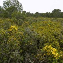
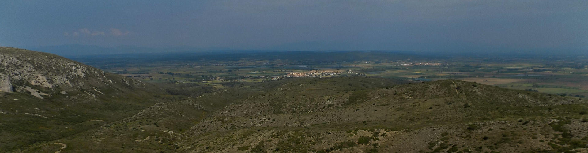
From here, having enjoyed the best views on the whole route, you go around the hollow and the Vall de Santa Caterina, with views of the popular hermitage, following the long secondary ridge of the Montgrí avoiding a series of passes and small peaks which are rather like a rollercoaster. New views from each hill. Eventually, the ridge ends at the feet of the small village of la Bolleria, which is in the municipality of Torroella, albeit only just. The village of Bellcaire d’Empordà is nearby and is worth visiting if you have time.
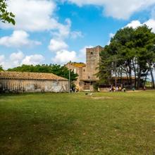
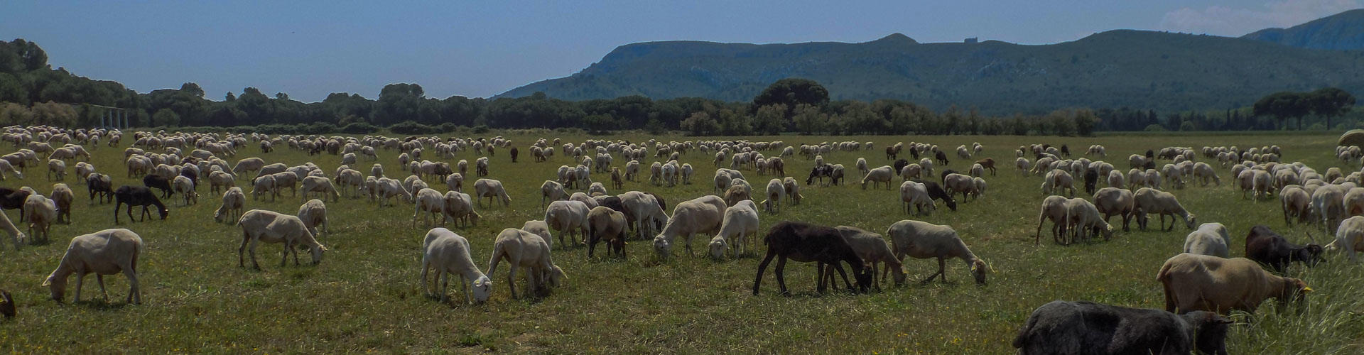
From la Bolleria, the route abruptly changes direction and, avoiding Bellcaire, follows the Camí de Sobrestany, forming a beautiful tour around the plain of the old lakes and rice fields of Bellcaire and l’Escala, passing through the neighbourhood of Sobrestany in the municipality of Torroella and by the Torre Ferrana tower, now a centre for field trips for children, and skirting the feet of the first small northern slopes of the Montgrí.
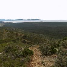
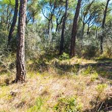
Further on, now heading towards the developed areas of l’Escala, the Camí dels Estanys stretches between fields and farmhouses along the western edge of the inland dune with its characteristic pine groves that fix the land as a backdrop to the rural landscape, until it reaches the first roads of the urban area of l’Escala and the beach of Riells.
Tips
ROUTE
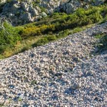
- A varied route with two large sections: a first part on rough rocky trails and mountain paths where it is advisable to wear high-top walking boots, and a second section on fairly comfortable trails.
WATER
- Water is available in la Bolleria and in Sobrestany. However, drinking water is hard to find on the rest of the route, so take a full bottle from the start.
PRECAUTIONS
- It is important to take care on the narrow paths with loose and sharp rocks as it is easy to twist an ankle if you are not alert.
- Be careful of the cliffs on some sides of Montgrí Castle and the Montplà, especially if you are with children and want to explore in more depth.
WEATHER
- The route is very open and has little shade. Protect yourself well from the effects of the sun.
- If it is windy, take care and protect yourself on the tops of the hills and high plain of Montplà.
TERRAIN
- Much of the route is on rough ground with loose rocks, with the degree of difficulty this entails for walking. Therefore, make sure you are properly-equipped with walking boots.
EQUIPMENT
- High-top walking boots are recommended.
- Windbreaker if the tramuntana is blowing on the Montgrí peaks.
- Hiking poles might help on the long trail sections.
- Binoculars and a camera for admiring and photographing the views.
OTHER FACILITIES
- You will have no trouble finding a wide variety of bars, restaurants, accommodation, tourist services and information about the area in l’Escala and Torroella de Montgrí.