Introduction
From now on, on both sides of the ridge, begins a heavily banked landscape that we can’t see from here as they descend downwards (you can see it at home in an aerial photo on Google Earth).
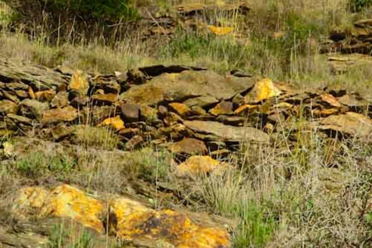
There are walls that form partitions and enclosures between cultivated and pasture areas. We find remains of the original cork oaks and maritime pine plantations. The latter have very large and thick leaves when compared to the Aleppo pine.
Mainly vines were cultivated. Further on, to the right, you will find a vineyard hut behind a pine tree. Much smaller and modest than the shelters the shepherds used throughout the seasons.
The present landscape of the Cap de Creus is heir to the agricultural areas that started to be opened up at the end of the first millennium and which, with various highs and lows throughout history, lasted until the end of the 19th and the beginning of the 20th century. The vines disappeared with the onset of phylloxera towards the end of the nineteenth century and they turned to the cultivation of olive trees which suffered from the frosts of 1959. When it was learned how to deal with phylloxera using American grafts, the type of rugged terrain, the difficulty of mechanising this, low productivity and prices, made vine growing unfeasible.
From this moment of abandonment, vegetation succession began to occur but the grazing of goats and sheep (which were still kept in 1960) and fireswere the reason that this evolution did not occur in the heathland you can see. Often, the fires were deliberately started to clear pastures for the transhumant cattle that came down from the Pyrenees in winter.