Introduction
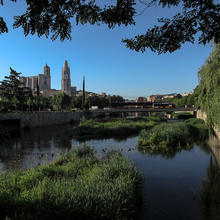
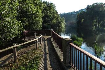
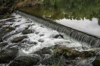
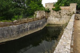
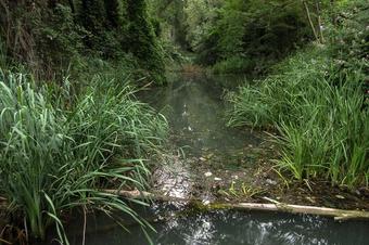
This route, shared between Girona and Salt, will allow you to discover the agricultural space of the Hortes de Santa Eugènia (Santa Eugènia vegetable gardens) and the natural area of the meadows of Salt (Deveses de Salt), following the course of the river Ter. Part of the itinerary overlaps with theCarrilet Greenway, which runs from Olot to Girona.
We recommend the Local Natura App to do this route. Download it for free here:
Apple store Google Play
-
TypologyTime Circular
-
DifficultyEasy
-
Duration1 hour 30 minutes
-
Slope28.00 meters
-
Distance5.50 km
-
ThemeFlora and faunaEnvironmentLandscaping
-
ActivityBy foot
-
Rating
Slope graph

Description
This route, shared between Girona and Salt, will allow you to discover the agricultural space of the Hortes de Santa Eugènia (Santa Eugènia vegetable gardens) and the natural area of the meadows of Salt (Deveses de Salt), following the course of the river Ter. Part of the itinerary overlaps with the Carrilet Greenway, which runs from Olot to Girona.
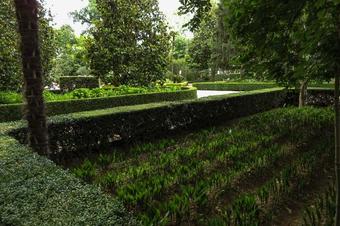
The vegetable gardens of Santa Eugènia are located to the west of the city of Girona, between the neighbourhood of Santa Eugènia (formerly the village of Santa Eugènia de Ter) and the right bank of the river Ter. The type of agriculture practised in this space has evolved as a result of the social changes its surroundings have undergone. The area is currently used for social gardens rather than market gardens.
The meadows of Salt are of great ecological value, and an ideal place to enjoy nature walks.
This itinerary which is approximately 7,5 km in long, is flat and practicable for persons with reduced mobility. This means that there may be certain isolated difficulties, but the route is usable. Most of the itinerary is on compacted but non-asphalted earth. There are a few areas that are irregular or where there are stones and/or sand.
The information contained in this brochure is available on the Natura Local app, complete with audio descriptions, subtitles and sign-language interpretation.
Tips
TRAÇAT
- Traçat semiurbà i fàcil, sempre per camins i vials sense cap tipus de dificultat.
- El tram urbà entre el pont de la Barca i el nou pont de Pedret, és provisional fins que els accessos al pont des de la ribera adjacent a l’illa del Ter no estiguin disponibles.
- Pràcticament pla, no presenta forts desnivells.
AIGUA
- No hi ha punts d’aigua potable en tot el recorregut. Porteu almenys una cantimplora ben plena.
PRECAUCIONS
- En cas de pluges abundants, el riu Ter augmenta el seu cabal. Absteniu-vos de baixar al llit del riu en cas de crescudes temporals.
- Cal saber que l’accés a l’illa del Ter és restringit al públic, ja que es tracta d’una estació d’anellament d’aus. No obstant, a més de difícil, és perillós si el cabal del riu és gran.
METEO
- Hi ha trams de camí que van pel mig de la devesa, amb força ombres. No obstant hi ha també trams exposats al sol. A l’estiu, poseu-vos protecció solar.
TERRENY
- El terreny és gairebé sempre molt fàcil, amb trams de terra compactada. Només en cas de pluges prèvies, ens podem trobar amb alguns bassals.


