Introduction
| The name of the huts is due to the fact that by 1900/1920 there was an open pit mining. From this hill, going to pick and shovel relief surface modeling industry sunny side of this upper part of the mountain range of Estremera. (Which descends to the plains of Planoles and Ventolà) |
| The two main extractions were chalcopyrite and pyrite (iron and copper sulphides) and also quartz. |
| Ground piles are the spare material. The mineral was stacked equally and it was lowered with mules towards the valley. The huts, now in ruins, served to store the tools and spend the night. |
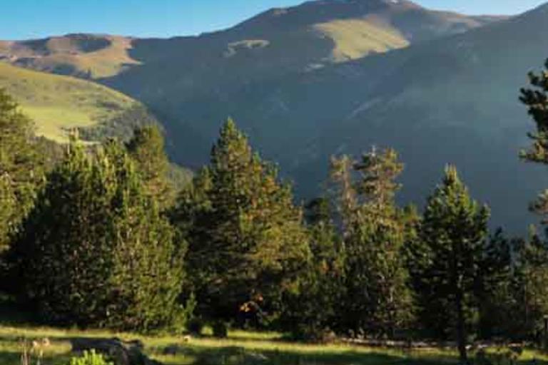
| Looking towards the [XG4] north, we already have some first views (panel) of the nearby summits. Puig de Dòrria (2547 m.), Puig dels Lladres (2661 m.), Puigmal (2910 m.) (Behind) and the Cim de la Dou (2456 m), opposite to the right. |
Images not available