Introduction
| By requesting the keys at the Setcases Town Hall, you can spend one night there. Its situation makes it more suitable for fishermen than for hikers who go to Ulldeter. |
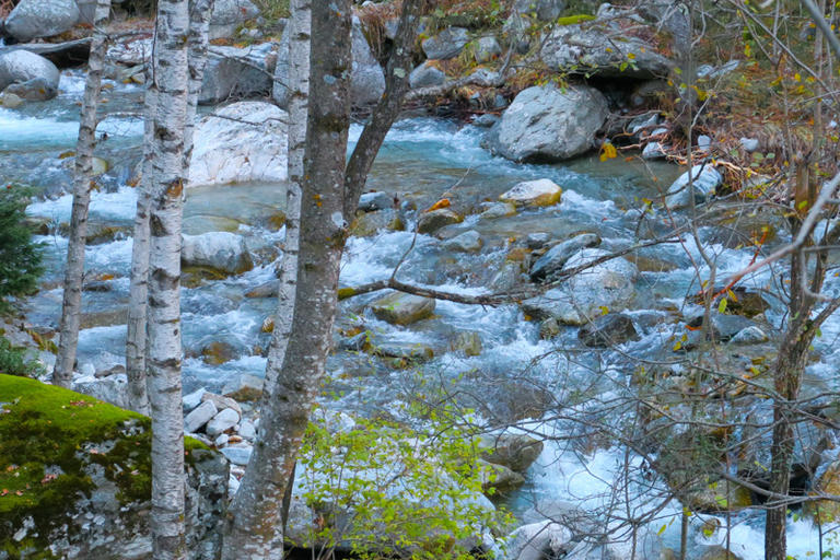
| Below we have the Ter River. The high section of the river is the part with greater slope and where the water has more energy. This causes, in case of flood, to have strength to move large blocks of stone and to erode the edges and margins of the channel. In fact, in 2018 it was the strongest one. |
| The margins of the fields that touched the river have retreated (the field has lost useful surface) and they have been filled with large pebbles and small blocks of stone. |
| In each strong avenue the river modifies its channel and there are small islands where it was previously unavailable. Between the thickest stones, when the strength of the water goes down, sediment small pebbles (foto) and where the river is applied a little, even platens appear. |
| The riverside vegetation is accustomed to these disturbances and re-grows easily. |
| The river is born in Ulldeter, in the municipal district of Setcases, at an altitude of 2,400 meters and flows into the Gola del Ter, in the municipality of Torroella de Montgrí and L'Estartit. With a length of 208 km and a surface area of 3,010 km2, it is along with the Llobregat, the most visited river of the Pyrenees-Mediterranean hydrographic network. |
| If you sit in the shadows of the vernices and willows, you will see the torrent quiver over the stones or the waterbird (with the white chest) under the fall of some spring looking for insect larvae; and the tits between the branches that descend from the near forest to drink. |
Images not available