Introduction
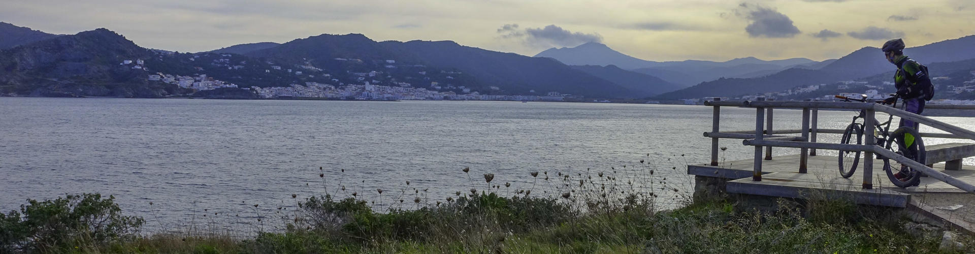
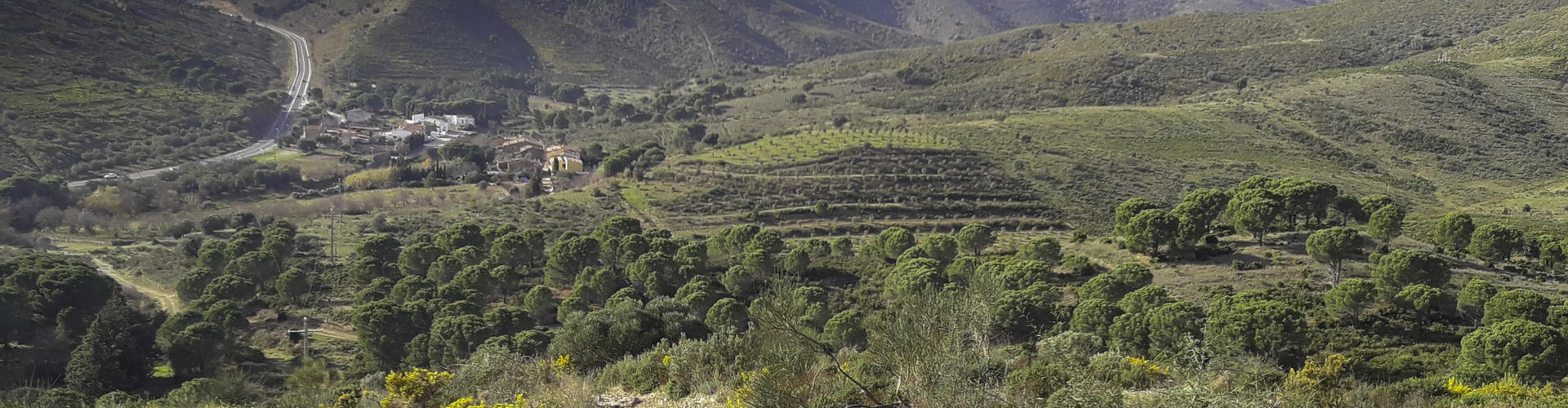
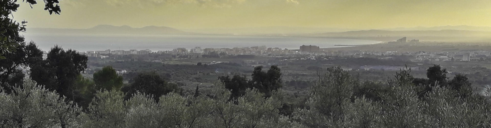
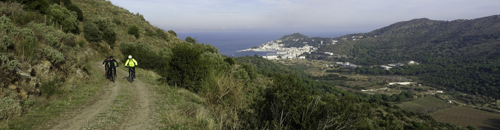
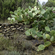
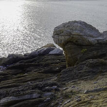
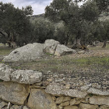
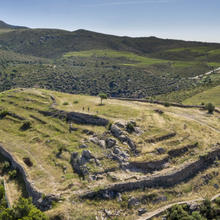
Direct and arduous route through the Serra de Rodes. You will discover the villages and agricultural landscapes on the western side of the mountain range, in contrast to the eastern sea-facing side, with completely different coastal villages and landscapes.
We recommend the Local Natura App to do this route. Download it for free here:
Apple store Google Play-
TypologyAnti-clockwise circular
-
DifficultyMedian
-
Duration5 hours 15 minutes
-
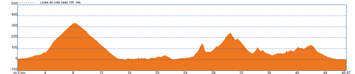
Slope907.00 meters
-
Distance47.00 km
-
ThemeLandscapingBeaches and covesMeadows and shrubs
-
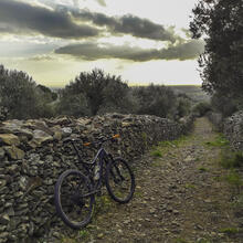
ActivityBy bike
-
Rating
Slope graph
Description
Tips
- You should be in good physical shape.
- Don't forget to bring enough food and drink.
- Tell someone where you intend to go and, if possible, share your location with them in real-time.
- You're in a Natural Park. All its rules must be respected.
- The tracks can be used by people coming in the opposite direction.
- The Camí de Mar may be used by both walkers and cyclists. Please respect priorities.
- Heavy motor traffic, especially in summer, on the roads and in built-up areas.
- Danger of punctures from sharp stones on the track.
- Danger of punctures from the thorns on the gorse and broom plants on the tracks and path.
- Be careful of broken sections of the downhill track or path.
- Do not cross the ford through the stream in the centre of La Valleta above Llançà.
- Take care when passing through villages.
- If you lose your bearings, don’t worry, follow the track as far above the line as you can.
Save the route
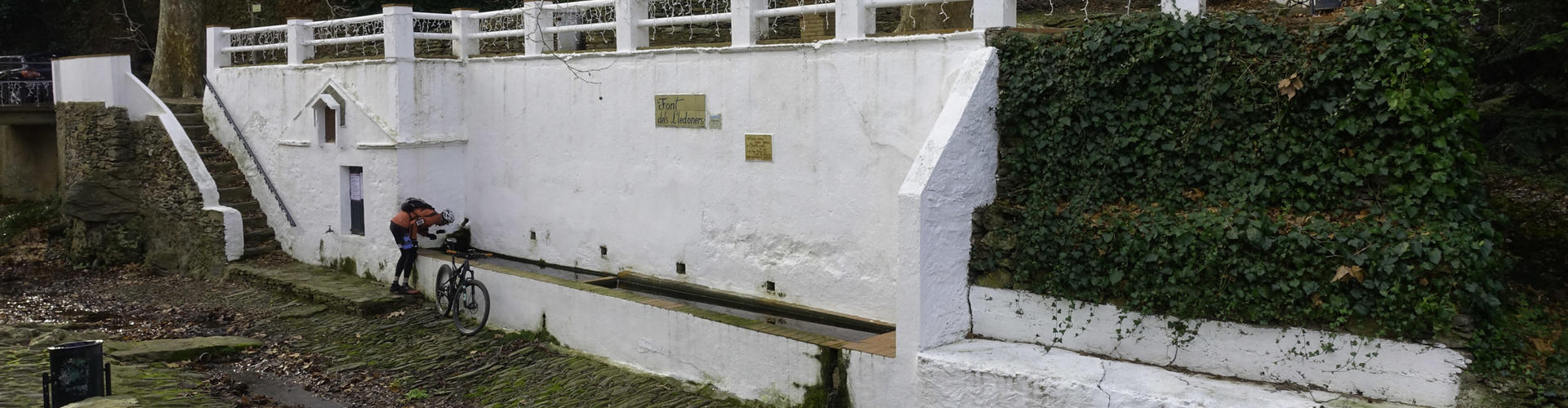
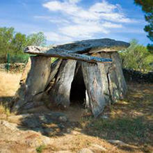
What to see in: BTT Roses - Serra de Rodes
Es mostren 1 - 8 de 8


What to see in: BTT Roses - Serra de Rodes
Es mostren 1 - 10 de 13

What to do in: BTT Roses - Serra de Rodes
Es mostren 1 - 3 de 3