Introduction
Dolmens and menhirs on the Casa Cremada plain
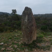
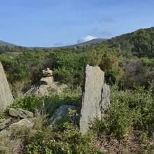
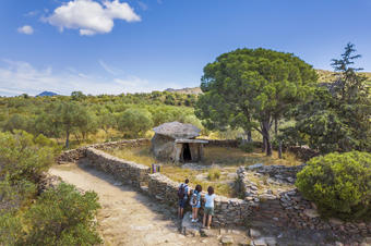
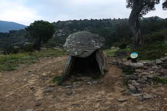
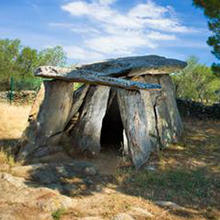
This brief circular tour includes the visit to various prehistoric funerary spaces and cultural expressions of the Neolithic era of the peasant communities that settled in the area of the Casa Cremada plain.
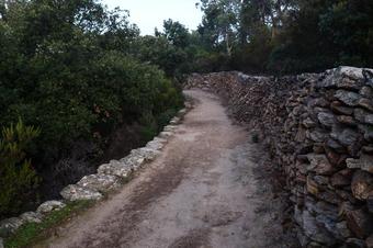
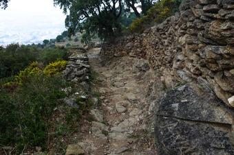
In addition, this route also highlights the presence of dry stone constructions, a heritage created by the agriculture of the area which can be seen in the morphology of the landscape.
It can be complemented by the Megalithic and the Dry Stone II Itineraries, with which it shares a section.
We recommend the Local Natura App to do this route. Download it for free here:
Apple store Google Play


-
TypologyTime Circular
-
DifficultyEasy
-
Duration1 hour 20 minutes
-
Slope166.00 meters
-
Distance4.40 km
-
ThemeEnvironmentArchitecture and environmentLandscaping
-
ActivityBy foot
-
Rating
Slope graph

Description
Dolmens and menhirs on the Casa Cremada plain
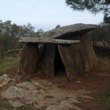
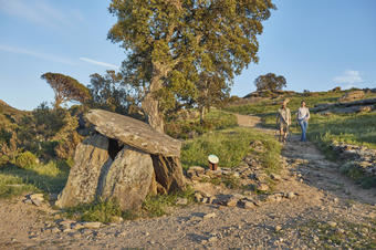
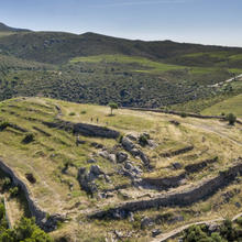
We begin the route by heading up a hillside where there are some surviving and still productive terraces of olive groves built on beautiful dry stone banks. Half-way up, the first megalithic element of the day takes us by surprise: the dolmen of the Creu d'en Cobertella, lying right next to the ruins of the farmhouse from which the dolmen takes its name.
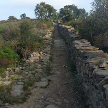
We are plunged into a landscape of Mediterranean scrub, dotted with pines and cork oaks, which has developed with the abandonment of olive groves, glimpses of which can still be seen in the midst of the natural vegetation. Dry stone contructions abound, something that will be seen all along the route: banks, walls, huts etc.
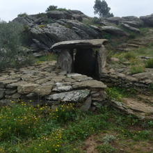
Passing the ruins of Casa Cremada, brings us closer to one of the menhirs which take their name. We walk along the side of the hill on the Casa Cremada path, making a brief incursion to the Cau de la Guilla, and ending up on the next crest and the Cap de l'Home, where we visit the dolmens of the Llit de la Generala and Cap de l'Home, which are very close to each other.
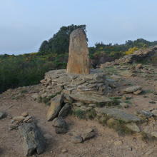
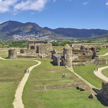
We continue following a network of hillside paths, rising gently and surrounded by dry stone going right into the Casa Cremada plain, where will see, one after the other, more of the menhirs that take their name from Casa Cremada, the ruins of what is thought to be a church of Pre-Romanesque origin, the dolmen and the last Casa Cremada menhir and a beautiful specimen of a dry stone hut, a symbol of the peasant life from not many years ago.
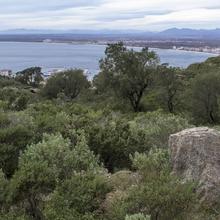
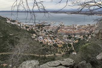
A brief diversion to the edge of the Alzeda crest allows us to enjoy the panoramic views over the valley and the Alzeda farmhouse, as well as the Puig de l'Àliga mountain, which lies just in front of us, at the head of the other side of the valley.
Once we arrive at the menhir of Casa Cremada II, we can choose to follow the megalithic and dry stone route and thus going on to see other elements and view points, retracing the Alzeda crest path and then through the Quarantena valley. Alternatively, we can just continue along the path up to the next crossing of Casa Cremada where we go back along the first stretch of the path that we followed here from the start of the route.
Tips
ROUTE
- It is a rather stony route but wisely mixes the climbs with walking on the flat and descents. There are only two short stretches of continuous climb: from the beginning to the ruins of Casa Cremada and on the slope to climb the line of the Alzeda crest. The rest is on the side of the hills, level ground and descent.
- There are brief diversions on the route to visit some of the elements of interest. But at no point do you have to double back on yourself too much.
- The stretch to and from the Cau de les Guilles, besides being a steep descent which you will have to climb back up, is a difficult path over very irregular terrain where you should take care to avoid tripping.
- You can combine this route, complementing it with the Megalithic and the Dry Stone II Itineries, with which it shares some of the points of interest. In this case, when you reach the Casa Cremada II menhir, you begin the itinerary mentioned above and start from here, saving yourself from having to go down to the beginning and go back over the same section with the points of interest that you’ll have already seen. Even so, you will return to some of the recent points of interest, going back over some of the way, but this is worth it as you will pass along the Alzeda crest and then down through the Quarantena valley, with new points of interest and new perspectives and landscapes.
WATER
- Bring water with you: there are no sources of drinking water at all on the path!
PRECAUTIONS
- At the edge of the crest of the Alzeda, take care of children, as there is a cliff.
WEATHER
- You should avoid times when the sun is at its highest as there is almost no shade.
- Whenever you go, always protect yourself with sunscreen. The terrain is quite exposed.
- This is an area where the Tramuntana wind often blows. If the wind is very strong, we don’t recommended going out into the countryside. In addition to affecting stability, remember that you might not enjoy your time due to the discomfort caused by the strong wind.
TERRAIN
- Unlike the paved and easy path at the beginning, the majority of the paths on which you’ll walk are quite stony and irregular. Therefore you should wear proper footwear, with thick soles and ankle support.
- Due to the unevenness of the paths, on some short stretches it is easy to trip or twist feet and ankles.
EQUIPMENT
- Trekking poles provide better stability on stony ground.
- In case of wind, it is recommended to wear a windproof jacket.
OTHER NOTES
- The route is signposted and contains information plates, although these may have disappeared or been damaged.


