Introduction
From the shady plane trees to the heather
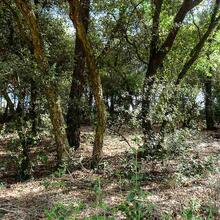
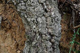
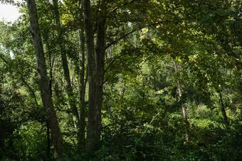
This route allows us to follow a stretch of the Els Abaus stream, one of the watercourses closest to the Tordera plain, between the slopes of the Can Pinell and Els Serradors ranges, and the long ridge that climbs up to the hill of Les Formigues. Pass through a mixed forest of cork oaks and the shady plane trees of Els Abaus, before entering the heathlands of the Can Pinell range, where you will enjoy good views of the Montseny. The route enters Santa Maria de Palautordera through the plain of Can Sala and crosses Reguissol Park.
We recommend the Local Natura App to do this route. Download it for free here:
Apple store Google Play-
TypologyTime Circular
-
DifficultyEasy
-
Duration2 hours 30 minutes
-
Slope130.00 meters
-
Distance9.30 km
-
ThemeFlora and faunaEnvironment
-
ActivityBy footBy bike
-
Rating
Slope graph

Description
From the shady plane trees to the heather
The route along the Els Abaus stream and return to Santa Maria de Palautordera through the Can Pinell range, allows us to enjoy different environments typical of this pre-coastal area with a clear Mediterranean influence.
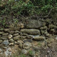
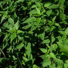
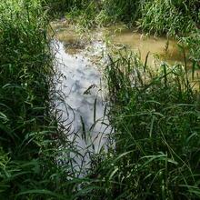
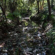
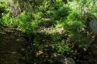
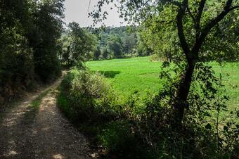
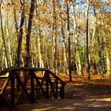
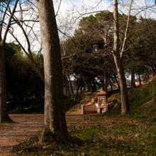
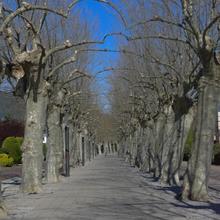
First of all, we will go to the Bruguers plain, where crops take advantage of the clear characteristic of the plateau to settle in thanks to the natural drainage that these elevated plains between watercourses usually have. We then go down a path, partly flanked by the remains of a dry stone wall, which takes us to the top of the Abaus stream, where we can see some plants typical of humid and nitrogenous environments, such as the extensive nettle tree field we can admire. We will also pass through the shady plane trees of Els Abaus, with thick, damp undergrowth, in which, during the rainy season, small wetlands can be formed that are very interesting for the biodiversity of the area, where many species of birds take refuge throughout the year.
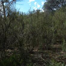
Almost at the end of the Abaus stream, next to the Palautordera train station, we first head towards the ridge of the Can Pinell range, and then to Els Serradors, radically changing the vegetation stratum and revealing some good views of the Montseny. Here you will find interesting tree heather heaths typical of siliceous soils, creating a beautiful flowery and olfactory scene if you visit it in spring.
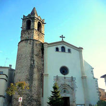
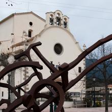
We finish the route going down towards the plain of Can Sala, a clearly agricultural gateway to the centre of Santa Maria de Palautordera, crossing the magnificent Reguissol park, which we enter at the point where the Reguissol and the Traveria stream form their particular confluence, a shady, damp place where we can observe some riverside species. We pass by the laundromat in the Reguissol park to finally enter the Plaça Major in Santa Maria de Palautordera.
Tips
LAND
- It is marked with green square signs.
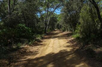
- Comfortable terrain, always on land.
- There are a couple of urbanised parts, just at the beginning and end of the route (near the village).
- No technical difficulties for cycling, except for the small slopes.
WATER
- Bring water, we won't find any fountains.
WARNINGS
- The departure and arrival parts of the route are urban. Extreme caution should be taken with cars and pedestrians if you are cycling.
- Although it is a forest track, the country houses are inhabited and it is easy to come across vehicles.
- Respect the country houses and farms, as well as the fields and cattle that you may encounter.
MATERIAL
- Comfortable footwear for walking on land.
- Trekking poles make the walk more aerobic and complete.
- Transitional areas between fields and forests are rich in biodiversity. A pair of binoculars will help us to see some of the many birds we hear.


