Introduction
Small watchtower of the Natural Park |
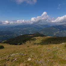
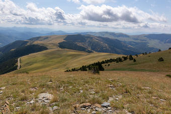
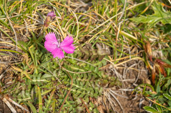
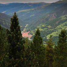
| This route, despite being short and easy to do, offers extraordinary views of Núria's Valley and the northern slope of the Cavallera mountain range. We will experience alpine meadows, "stained" by small black pine forests and a lot of flora during our tour. |
We recommend the Local Natura App to do this route. Download it for free here:
Apple store Google Play


-
TypologyAnti-clockwise circular
-
DifficultyEasy
-
Duration2 hours 20 minutes
-
Slope230.00 meters
-
Distance3.80 km
-
ThemeLandscaping
-
ActivityBy footBy bike
-
Rating
Slope graph

Description
Small watchtower of the Natural Park |
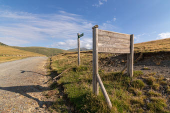
| The start of the route is at Coll de Meianell where we leave our cars. Access to the road that goes from Tregurà to Ribesaltes, the Fontlletera Path. We climb from Ribesaltes, the track is recommended for 4x4, but normal cars, with great care, can access it too. |
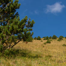
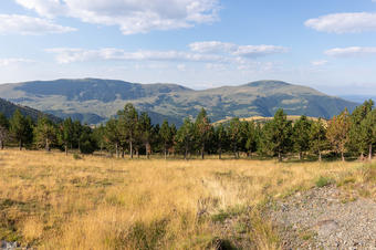
| From the Meianell pass, where we parked, we will see the altitudinal limit of the black pine forest. We can see, as if it were with leaflets, where the forest ends and the alpine meadow begins. We pave the way along a metal barrier and we only have to follow the track and enjoy the landscape. |
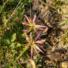
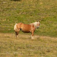
| We start surrounded by tall meadows, used to feed mares and cows. Little by little we will observe more and more flora (especially during the spring and summer), and already start the slope of the Puig Cerverís we will see over us, stains of small black pine forests. Very small and scattered trees indicate the harsh climatic conditions that we can find in this area. |
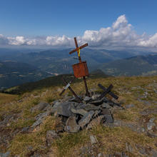
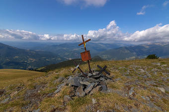
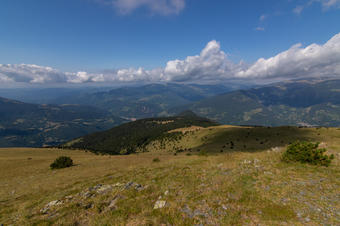
| Arriving at the Placondal of the Serra de la Canya, we turn left along a vertical side until reaching the summit of Puig Cerverís at 2,206m. From here we have to the north the southern part of Núria's valley, with Totlomón's rocks; the Puigmal, and the towns of Serrat and Queralbs to the northwest. To the southeast we will see the Sierra Cavallera in the foreground, with the Taga standing out as the highest peak. |
|
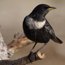
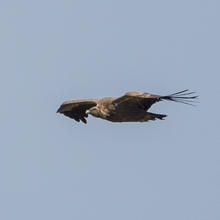
We can enjoy a good time with the views and, quite probably, birds that will fly over us like vultures, cornets, kestrels and, if we are lucky, some golden eagle or bearded vulture. We begin the descent, without hastle, admiring the landscape that surrounds us. Continuing the sheperd path we will arrive again at Coll Dalt de Meianell.
|
Tips
PATH |
| Route recommended to do from spring to autumn. |
| The route has a linear part and a circular part. |
WATER |
| There are no water points / fountains |
CAUTION |
| We start at the beginning from Ribesaltes. The track is recommended for 4x4, but normal cars, with great care, can access it too. |
| Recommended for the whole family, not when there is snow. |
| Do not eat anything from the field without having previously washed it. |
| In snowy weather, extreme precautions. |
| Ask inhabitants of the town for the state of the track before starting it with your car. |
| Respect cattle. |
| If you bring a dog, you need to tie him/her up. |
WEATHER |
| Check the weather forecast before accessing the mountain. |
| Wear suitable clothing according to the weather and the time of year that you take the route. |
| During winter you must be well equipped. |
| Being high mountain, weather can change rapidly at times, you have to be well prepared. |
EQUIPMENT |
| Solar protection |
| Comfortable footwear and clothing. |
| Trecking sticks. |
| Guide to identify flora and fauna of the high mountains. |
| Binoculars, if you like to observe wildlife. |
| Camera. |
OTHER EQUIPMENTS |
| Pla d'Erola Refuge |


