Introduction
Shared pastures. The Pyrenees treaty of 1659 |
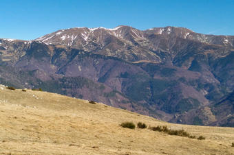
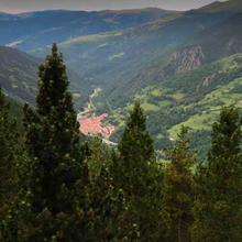
| This route goes up to the Pregon pass where we will enjoy views of the Costabona and the Vallespir's French side |
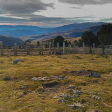
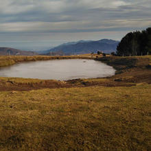
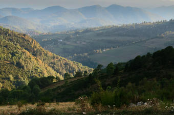
| Going up, we will cross different vegetal landscapes and, once up the ridge, we will walk through the highland grassland meadows with spectacular views of the Eastern Pyrenees. On our way back we will go through the douses and the village of Fabert, also belonging, like Espinavell, to the municipality of Molló. |
| Download the route and follow it OFF-LINE |
We recommend the Local Natura App to do this route. Download it for free here:
Apple store Google Play
-
TypologyTime Circular
-
DifficultyMedian
-
Duration4 hours 40 minutes
-
Slope560.00 meters
-
Distance9.70 km
-
ThemeLandscaping
-
ActivityBy foot
-
Rating
Slope graph

Description
Shared pastures. The Pyrenees treaty of 1659 |
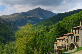
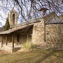
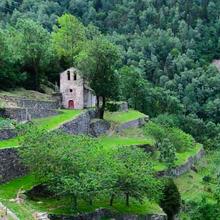
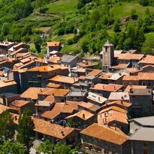
| We start the route near the information panels at the entrance to the village. From Amunt street we go up to the church and along the same street, uphill until we find the track that leads from Espinavell to Coll Pregon where we enjoy views of the head of the Ritort valley and the silhouette of the Costabona presiding over it. |
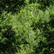
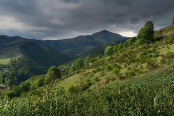
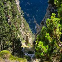
| We climb up along ash and hazelnut trees, with large ferns in the undergrowth and sprinkled with wild cherry trees. In fall a colorful show. |
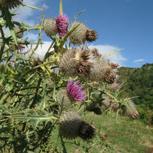
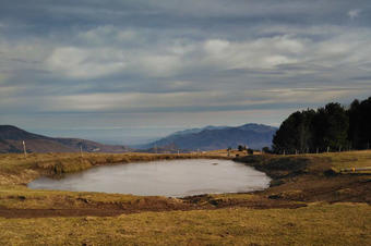
| Deciduous forest clears up, grassy fields and grasslands gain ground. Where the cattle pressure is not strong enough, the forest clearings are filled with scrub. |
| The road can't be lost. The track becomes a path with some section of steep climb but do not suffer because it is well signposted. If necessary, check the track on your phone. Remember to follow offline the route because there's no good data coverage. |
| We see, on the other side of the Pregon pass, the shady side full of deciduous trees. |
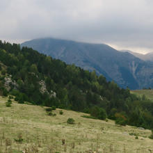
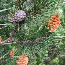
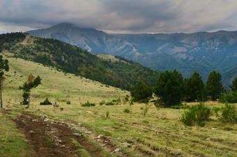
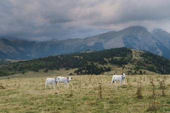
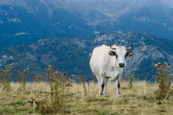
| Without realizing it, almost reaching the top, we begin to see some pines. We have not stopped climbing and we are already on the ridge of the Finestrol range. Paths and small hills, uphill, reach the Costabona. We are in Coll Pregon, enjoying the views to the summit of Costabona and the mountains of Rojà, which separate the north-Catalan counties of the Vallespir de Conflent. The pastures are scattered over all these ridges. We will now follow the ridge in the east direction towards the Puigs de la Clapa (1,654 m) and the Puig Sec (1,643 m). It impresses the extension of pastures field that we are passing ridge beyond. We will see folds and some shepherd's huts. There will also likely be grazing cattle waiting in October to descend to more protected lands. |
| We arrive at the rafts of Puig Sec and, if you like, you can head to Vallespir to see the Prats de Molló valley and the viewpoint of the Torre de Mir. |
| From the rafts, we find the head of the Dous stream to reach the Collada de Prats and descend almost to the right towards the Dous de Fabert. Again, the views are great. |
| We go down the forest threshold, the most intuitive route to Les Dous, where we continue along the track that leads to Fabert. |
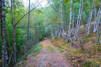
| Attention, because before reaching Fabert, we will follow the yellow paint markings to a path that goes to the left of the path. Road that they met again shortly before the village. It is a beautiful old road, almost cobbled, in the thickness of the deciduous forest dominated by birches and tremors. A sign reminds us to go through the transhumance route, a signposted route between the Ripollès and the Vallespir. |
|
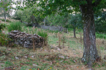
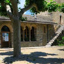
We cross the small town center of Fabert's houses in the middle and follow the track that will turn to us, up the valley, in the direction of Espinavell. We are losing height, crossing beautiful birches and passing by a dry stone hut to Espinavell.
|
Tips
PATH |
| Download the route and take it OFF-LINE |
| Uphill we will follow white and red signs (GR) and yellow marks (Itinerànnia). Also others of 3 stripes red-green-blue. |
| To go to the Torre de Mir, from the rafts of Puig Sec, there are 40 minutes to go back. |
| From the bottom, we re-start the GR Fabert. In any case, always follow the track. |
| First part of steady rise with some fairly straight sections. |
| Mostly easy path and track. |
| The descent to the Dous de Fabert is on the right. |
| Above the ridge, necks and hills are a good place to regain energy before going down. |
WATER |
| There's a fountain 100 meters from the beginning of the route, past the church. |
| At Dous de Fabert but without health guarantee. |
CAUTION |
| Always let someone know where you want to go and your expected time of return. |
| It is a long route and you have to be used to walking. |
| There are Apps that can help you in case of emergency. Call 112 and find out your positioning. |
| Save maximum battery life with your mobile device which will show you the track. |
| We are in a very high dense cattle area: you must respect the cattle |
| Leave yarn and fences back as you found them. |
| Dogs must be tied up. |
| Return the garbage home. |
| Do not set fire. |
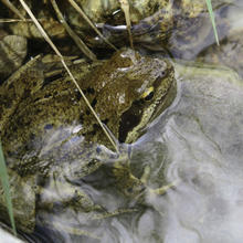
| Respect the flora and fauna as well as the tranquility of the environment. |
| We are in a Natural Park and the collection is regulated. |
WEATHER |
| Check the forecast before you take the route. |
| Avoid windy days or low clouds. |
| In summer, there is no shade in the meadow area. Wear sun protection. |
MATERIAL |
| Wear appropriate clothing according to the time of the year. |
| A windshield or raincoat is always a good idea. |
| Wear comfortable footwear which is suitable for walking. |
| Trecking sticks will help you climb |
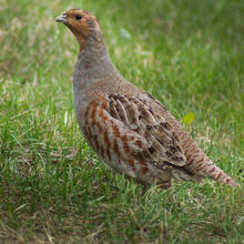
| Binoculars to see wildlife. Mammals and birds. |
| Camera. |
| A map if you like to identify the nearby reliefs. |
OTHER EQUIPMENT |
| Several panels at the entrance to the village. |
| Choose from Mulats in Espinavell on October 13th. |
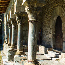
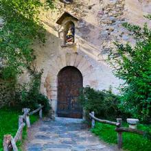
| Church of Santa Cecilia de Molló in Molló |


