Introduction
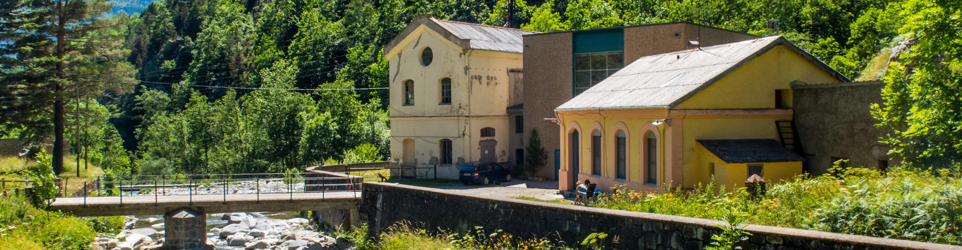
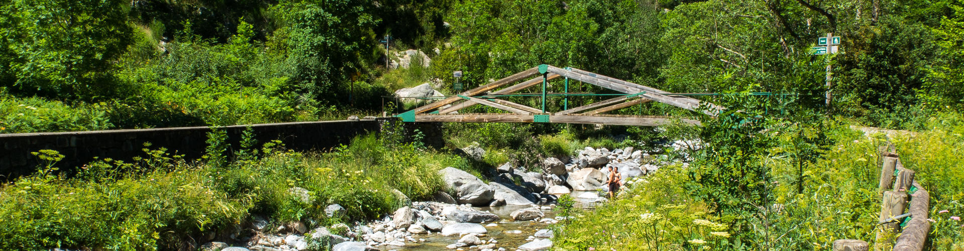
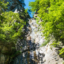
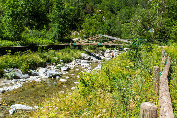
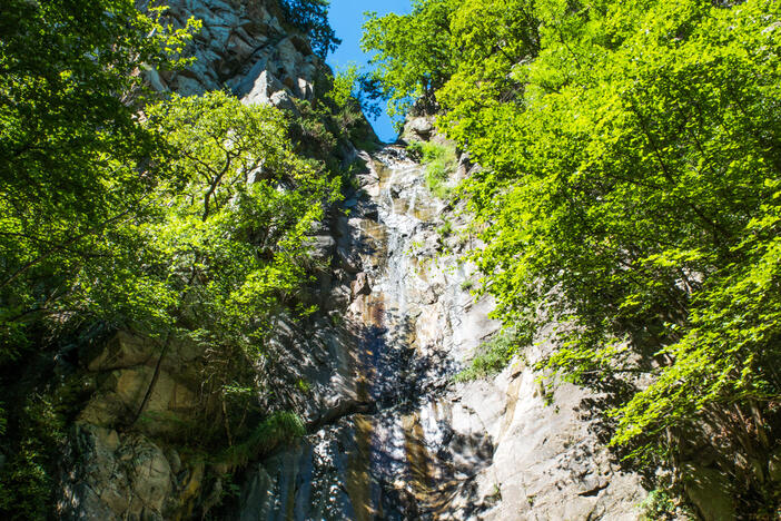
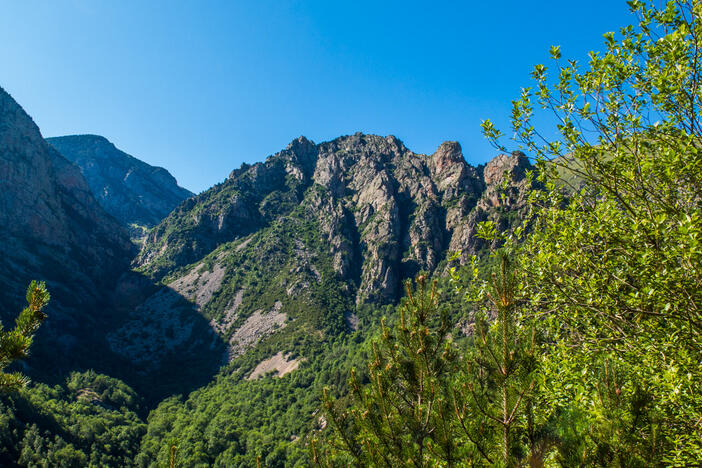
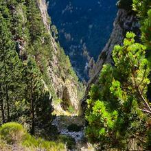
Where the Grill waterfall joins the Freser River. |
| This is a refreshing and varied proposal, ideal for summer, but also has its charm to do it during spring or fall. |
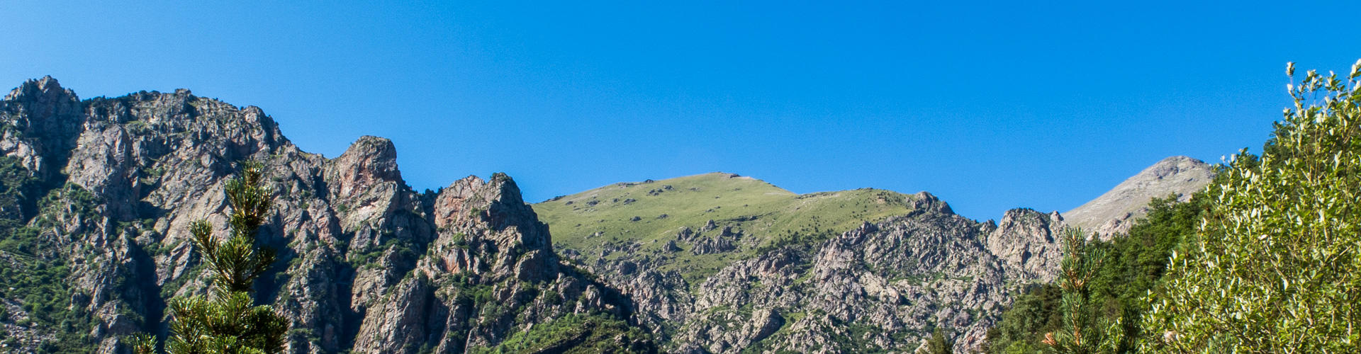
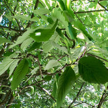
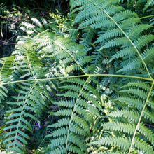
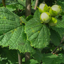
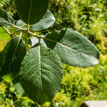
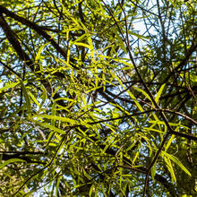
| Perhaps the highlight of the Queralbs' Grill Waterfall Circular route is the gorges and waterfalls of the Freser gorges, surrounded by alder trees, ash trees and hazel trees, and of course the magical corner of Grill waterfall. We also highlight Carboner's pine forests and the forest of the King (Bosc del Rei). |
| NOTE: DOWNLOAD THE ROUTE SO YOU CAN DO IT OFF-LINE. |
We recommend the Local Natura App to do this route. Download it for free here:
Apple store Google Play-
TypologyTime Circular
-
DifficultyEasy
-
Duration2 hours 30 minutes
-
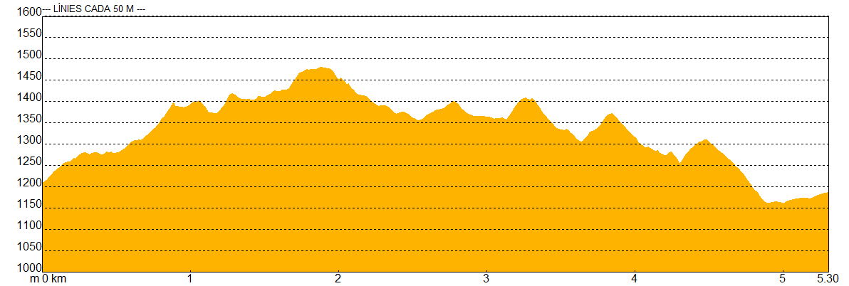
Slope330.00 meters
-
Distance5.10 km
-
ThemeForestsLandscapingRivers and lakes
-
ActivityBy foot
-
Rating
Slope graph
Description
Where the Grill waterfall joins the Freser River. |
| We start Queralbs' Grill Waterfall - Circular route at the Daió Bridge, next to the hydroelectric plant that has the same name. We immediately cross Freser river to follow it up on the left-hand side, from where we will hear and see some waterfalls that will make us the enjoy the route further. |
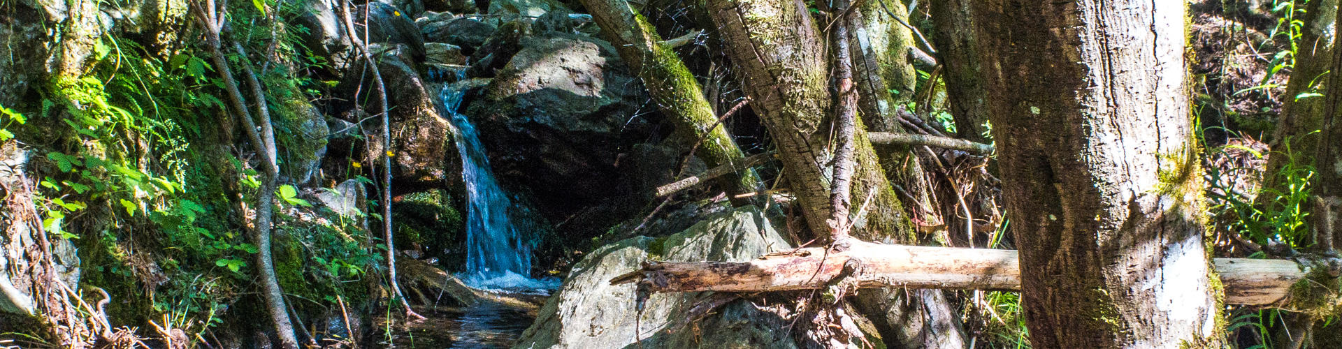
| We are gaining height progressively and before we realize we will reach Salt del Grill (Grill's Waterfall). We especially recommend going after it rains to enjoy the Salt of the Grill waterfall in its whole glory. |
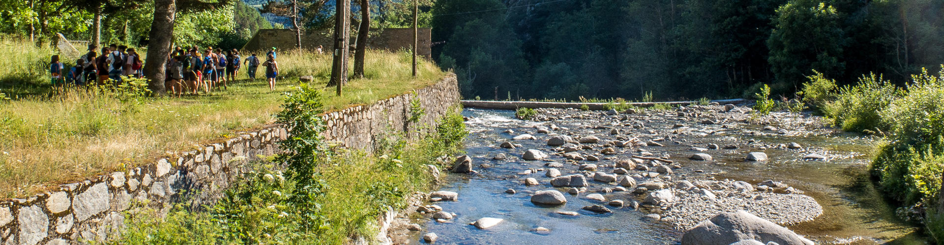
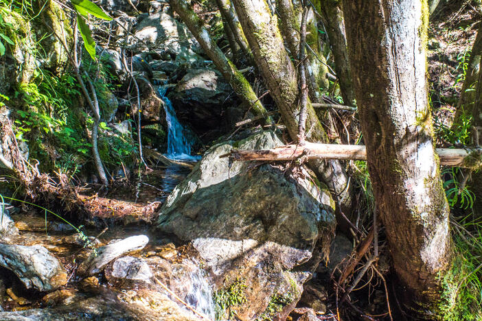
| We return to the main road and we have the Freser gorges at our feet. Little by little we are approaching Freser's course until crossing it at the Pont de les Ribes. Next to the bridge, and a little further down, we can enjoy small gorges and waterfalls where we can cool off in the summer. |
| Once we cross the bridge we find a wide track, comfortable, and without too much slope at the beginning, that will take us without great difficulties to the starting point. |
| At Torrent del Forn we will leave the track and follow a path on the right-hand side that follows its descent course. The trail is a bit steep at first, but quite comfortable as we begin to loose height. |
| The trail becomes a rocky trail as you cross a small water channel, and a little further down the road you will find the central road that will comfortably take you to the starting point. |
|
NOTE: DOWNLOAD THE ROUTE TO DO IT ON OFF-LINE.
|


Tips
PATH |
| The route passes through well-marked paths and wide tracks. |
| Some rocky tracks with a steep slope. |
WATER |
| We will not find any fountains. |
| Bring plenty of water especially in summer peak days. |
PRECAUTIONS |
| Be careful not to slip at the steepest parts. |
| Caution with ankle twists when going down. |
| We recommend not to do the route in the event of rain or torrential rainfall. |
| Watch out with smaller children near the river. |
METEO |
| Check the weather forecasts before starting the route. |
LAND |
| It does not entail great technical difficulties but we must be alert, especially in our way down the cliffs. |
| It is recommended to carry a camera. |
| Trecking sticks might help you on your way up and down. |
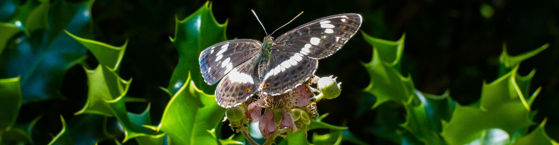
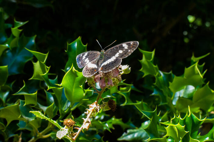
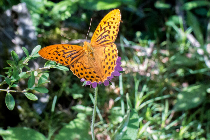
| Binoculars to observe birds, butterflies and some possible ungulates. |
OTHER EQUIPMENT |
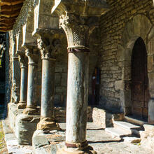
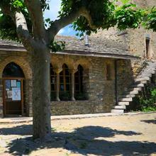
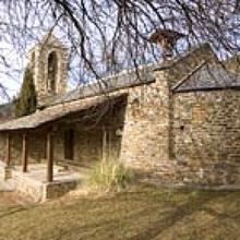
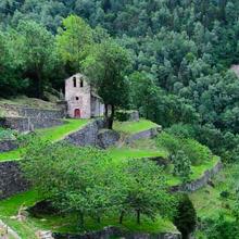
| You can rest and refresh yourself at the beginning and end of the route in the area of the Daió de Baix. |
Save the route
What to see in: Itinerary 5. GRILL WATERFALL CIRCULAR
Es mostren 1 - 8 de 8
What to see in: Itinerary 5. GRILL WATERFALL CIRCULAR
Es mostren 1 - 10 de 12
What to do in: Itinerary 5. GRILL WATERFALL CIRCULAR
Es mostren 1 - 10 de 45