Introduction
The plain between Ullastret and Llabià
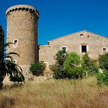
A circular itinerary which starts in the pretty village of Ullastret and crosses the plain of the lake of the same name, the site of an old drained lake which is now an agricultural plain. You can enjoy views of the Montgrí Massif and the Empordanet from the small peak of Creu de l’Estany and from Llabià, a typical village of the region. On the way back, you pass close by the Iberian settlement of Ullastret, which is worth a good visit, and follow the old route of the Camí d’Empúries with remains of the paving and boundary walls.
We recommend the Local Natura App to do this route. Download it for free here:
Apple store Google Play-
TypologyAnti-clockwise circular
-
DifficultyEasy
-
Duration3 hours 20 minutes
-
Slope145.00 meters
-
Distance10.00 km
-
ThemeFlora and faunaEnvironmentArchitecture and environment
-
ActivityBy footBy bike
-
Rating
Slope graph

Description
The plain between Ullastret and Llabià
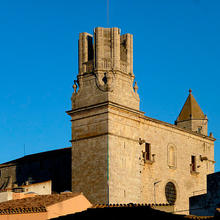
The route starts off close to the first houses in the village of Ullastret, just on the other side of the street and square which lead into the village, where there is a large parking area. You can visit the village before or after doing this route, but the route sets off straight away taking the old Camí de Palau-sator, now a wide paved track. You soon pass another old road on the left, the Camí d’Empúries, on which you will return.
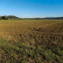
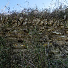
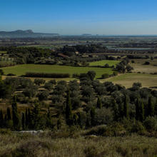
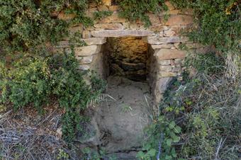
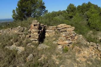
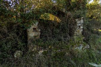
Now it is time to cross the agricultural plain on the old Ullastret lakebed, with views of Llabià, where you will go later on, and the Montgrí Massif. You will see old traces of rural activity in the area as you go along (a hut, a water tank, dry-stone walls, etc.) until you join the Camí de Llabià, towards which you turn decisively.
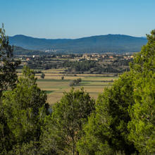
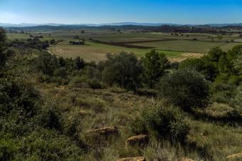
First, however, if you are on foot, for very little effort you can give yourself the small pleasure of climbing to the top of a hill, the peak of the Creu de l’Estany, a small mound which only just reaches 86 metres in height but is still enough to offer a vantage point overlooking the Baix Ter, the Medes islands and the Montgrí Massif. If the day is clear, this view is wonderful! There are also remains left by the Iberian people.
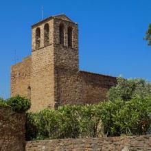
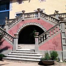
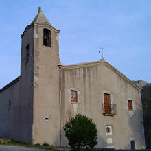
Having satisfied yourself with the view, you now head for the little hill-top village of Llabià, a little jewel which is looked after and cared for with love by its residents and summer visitors. The views from the top are also captivating. And the Plaça de l’Església is a beautiful calm place to rest.
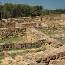
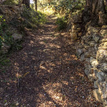
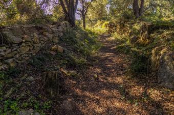
From Llabià head downhill back to the Rec Traient and the Riera Nova, passing through the land of the old Ullastret lakebed where the excess water from the Daró used to spread over the plain. The straights seem endless. However, luckily, if you are on foot, two treats still await you: the Iberian settlement of Ullastret, which you can think about visiting now or come back later by car and with more time when you have finished, and the stretch of the very ancient Camí d’Empúries, which conserves some paving and stretches of truncated dry-stone retaining walls. Now you just have to follow the old path, through trees and crops, which leaves you practically where you set off from around three hours ago.
Tips
ROUTE
- A very easy route on rural tracks, paths and a few stretches of well-made trail (you cannot do these on a bike but this will be indicated in the appropriate locations and alternatives are provided).
WATER
- Water might be available just before setting off, in Ullastret and in Llabià. Nonetheless, we recommend you take a full bottle from the start.
PRECAUTIONS
- Some of the tracks you walk on can be very busy with tractors and other vehicles depending on the time of the year. In any case, when on foot, it is better to walk on the left-hand side facing the direction of the traffic.
WEATHER
- The route is fairly open plain and has little shade. Protect yourself well from the effects of the sun.
TERRAIN
- The terrain is easy throughout all of the route.
EQUIPMENT
- Hiking poles might help on the long trail sections.
- Binoculars and a camera for watching birdlife and photographing the villages of the Empordanet.
OTHER FACILITIES
-
In Ullastret there are bars, restaurants, accommodation, tourist services and information services about the area.


