
Introduction
Around the municipality of Mataró
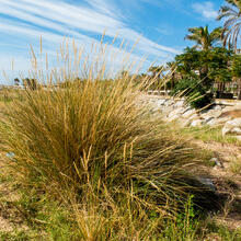
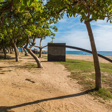
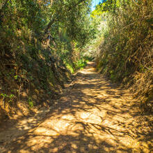
The Tot Mataró route is a fairly long walk that takes us around the perimeter of the municipality, letting us enjoy the local landscape from different perspectives.
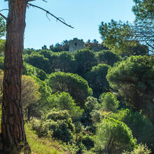
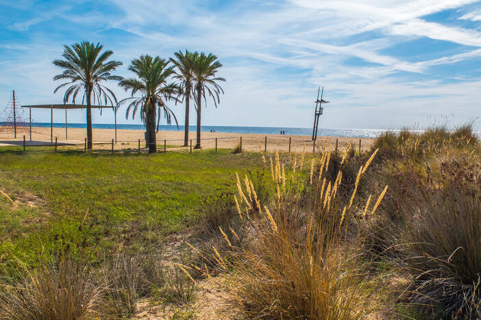
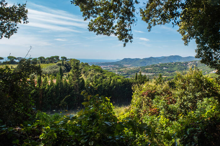
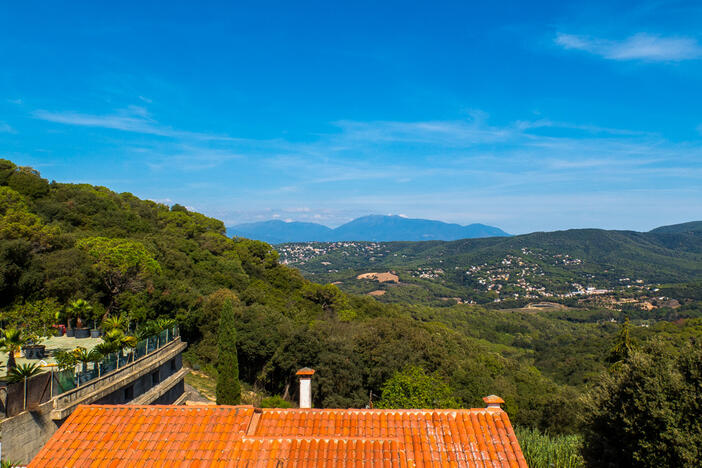
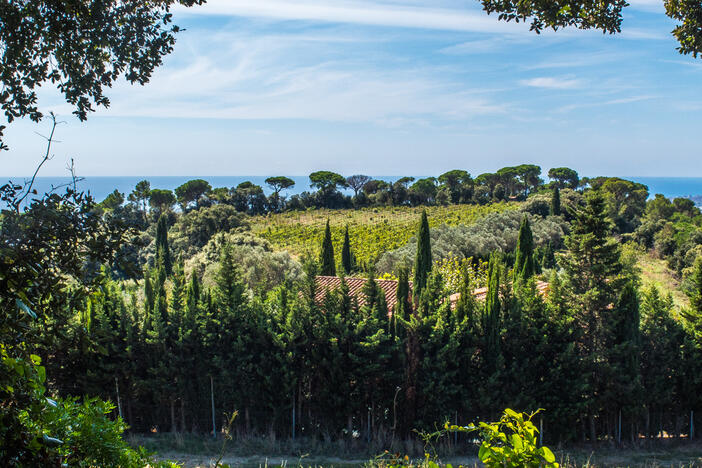
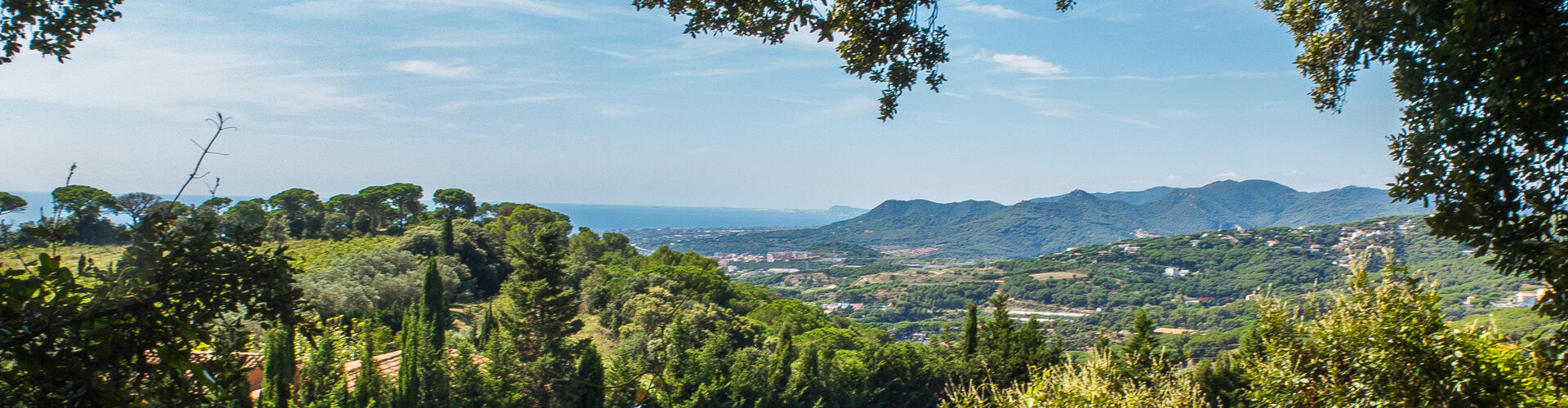
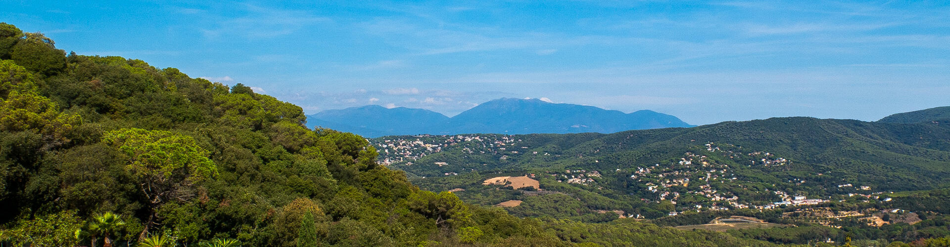
Highlights of the route include the coastline, Sant Martí and Sant Miquel de Mata and the wide, attractive views from Can Bruguera.
PLEASE NOTE: This is a long and demanding route. The app will show you possible shortcuts.
We recommend the Local Natura App to do this route. Download it for free here:
Apple store Google Play-
TypologyAnti-clockwise circular
-
DifficultyHard
-
Duration7 hours 15 minutes
-
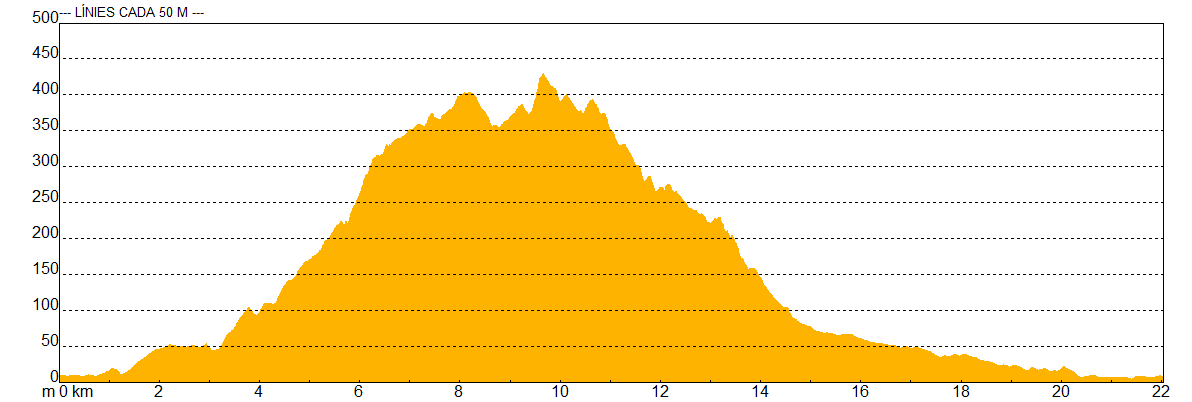
Slope503.00 meters
-
Distance21.70 km
-
ThemeFlora and faunaLandscapingBeaches and coves
-
ActivityBy foot
-
Rating
Slope graph
Description
Around the municipality of Mataró
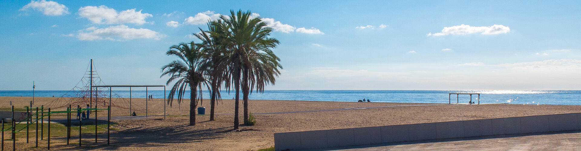
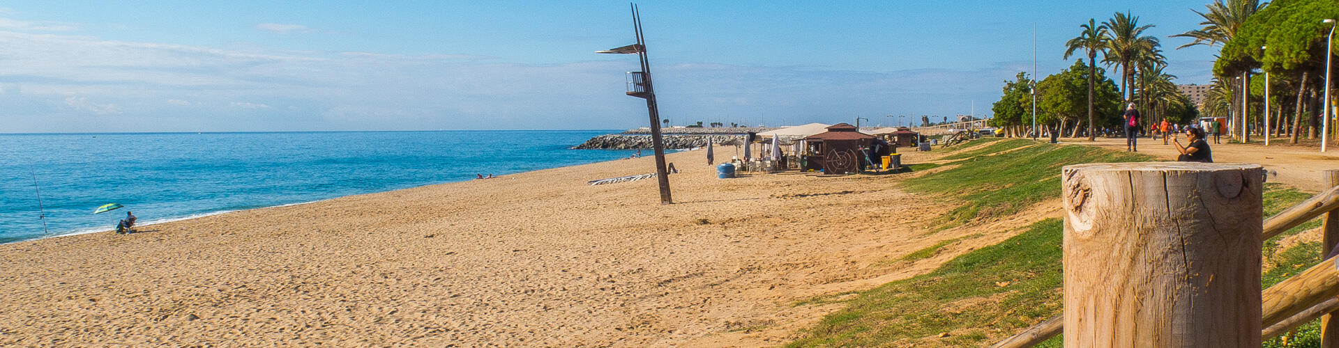
We start the route in front of Mataró railway station and follow the seafront promenade past Varador beach and Callao beach. At the end of the promenade we head up the Riera de Sant Simó until we reach the Camí de les Cinc Sénies, which we follow to the right, enjoying this important farming area.
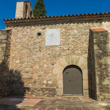
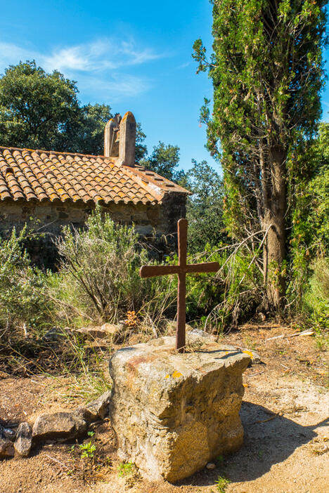
We come to the Torrent del Castell (there is a sign for the GR 83 or Camí del Canigó, which we follow almost to the highest part of the range) and follow it uphill towards the hermitage of Sant Miquel de Mata, an ideal place to rest and recover before the rest of the climb.
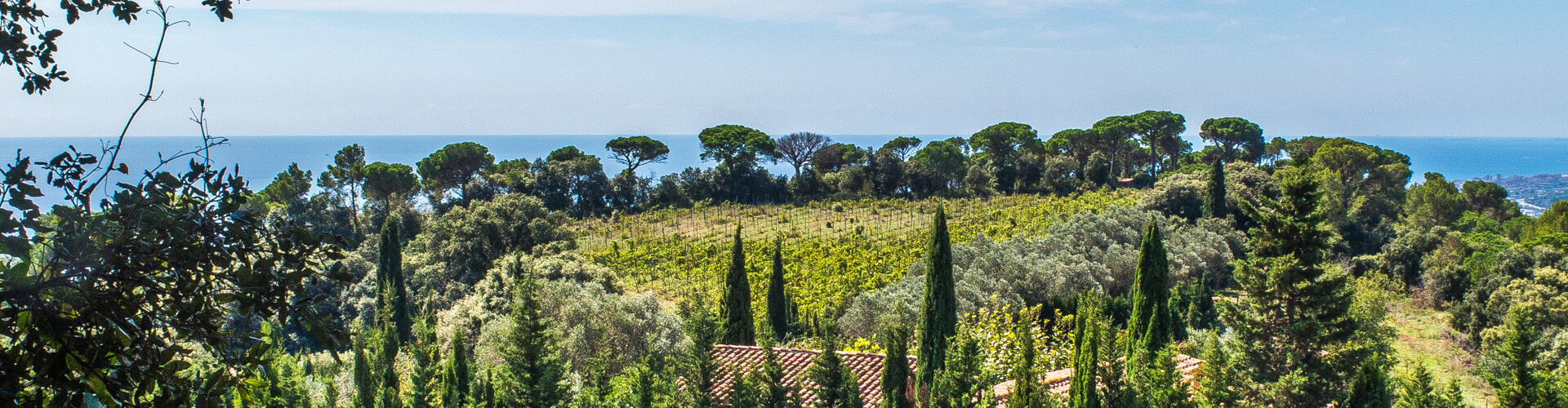
We now continue along a wide but fairly steep track and reach the vineyards of Can Flaquer and Sant Martí de Mata, a truly charming spot.
After visiting the hermitage, we continue up the stream, always climbing, and reach the top of the range, which we follow westwards to the Coll de Can Bruguera, where the municipalities of Dosrius, Argentona, Llavaneres and Mataró meet.
We carry on, still climbing, and cross the upper part of the La Cornisa housing estate, the highest point of the route. We now begin the descent along the wide track of the Camí de la Cornisa until we reach the shady Torrent de Can Martí, which we follow until we meet the course of the Riera d'Argentona, which we follow down to the incinerator, where we turn left to return to Mataró's seafront promenade and the starting point.
Tips
ROUTE
- The route mostly follows wide, easy tracks, except for a short uphill stretch along the GR 83 before reaching Sant Martí de Mata.
WATER
- Bring plenty of water, especially in summer.
- You can get water at the Cornisa fountain.
PRECAUTIONS
- Watch out for cars, especially in the stretches within the town.
- This is quite a long route, only recommended for fit people who are used to walking.
- Shortcuts are indicated in the app alerts.
WEATHER
- Avoid the middle of the day in high summer.
- Check the weather forecast before setting off.
TERRAIN
- In general, the terrain presents no major difficulties.
EQUIPMENT
- Wear comfortable shoes with good grip.
- Sun protection.
- Camera.
- Trekking poles.
- Binoculars for watching birds, butterflies, reptiles...