Introduction
Talaia west of the Collserola massif. Short but intense climb up the Puig de Madrona to enjoy the fantastic and practically 360° views of both Collserola and also Baix Llobregat and Vallès Occidental. It is then a pleasant stroll down a track which edges the Torrent de Julià basin, between the emergent holm oaks and pine groves, before dropping back down to Valldoreix, with its views of the Can Monmany manor house.
We recommend the Local Natura App to do this route. Download it for free here:
Apple store Google Play
-
TypologyAnti-clockwise circular
-
DifficultyEasy
-
Duration1 hour 55 minutes
-
Slope250.00 meters
-
Distance5.70 km
-
ThemeFlora and faunaArchitecture and environmentLandscaping
-
ActivityBy foot
-
Rating
Slope graph

Description
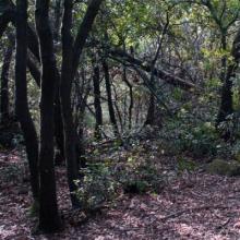
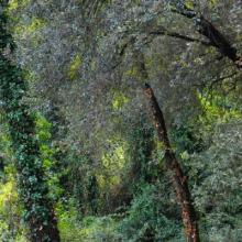
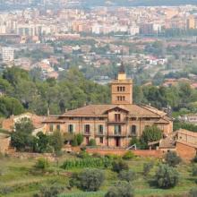
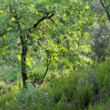
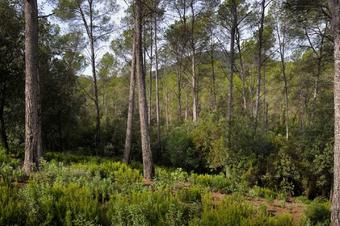
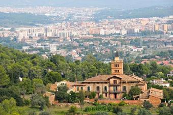
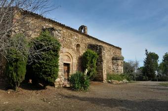
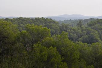
Talaia west of the Collserola massif. A straightforward and comfortable circular route, except for the initial climb of Puig Madrona. We start at Plaça Joan Gassó, in the Can Monmany district of Valldoreix. The climate soon begins along a narrow lane, and then a track, surrounded by newly regrown holm oaks, as far as the Puig Madrona lookout (380 m). Follow the route, but then along the track, past a storage tank, the PR-C 35 is marked, leading directly (along a straighter line) up to the summit. The wonderful views stretch out as far as the day's conditions will allow. The plain of the Llobregat, the Collserola massif, the pre-coastal uplands, the plain of Vallesana, etc. All the hard work is now behind you, so you can enjoy the moment and the rest of the trip. The route shortly drops back down to the hermitage of the Mare de Déu de la Salut, along the PR-C 35 trail. There are tables and picnic areas here. The wider and gently undulating path then continues around the source of the Torrent de Julià. The landscape is wooded, a blend of pine trees and holm oak undergrowth, combining different forms and structures. Across the streams running along the sheltered slopes the undergrowth becomes wilder, with the holm oaks to the fore. Elsewhere (on the crests and sunny slopes), Aleppo pines and heather predominate. The occasional oak tree is dotted about, preferring the cooler spots. The woodland occasionally allows glimpses of the landscape. It is here that you will see Can Monmany emerge in all its grandeur, and in the background the cities of Rubí and Terrassa, with the Parc de Sant Llorenç del Munt beyond. And in just a jiffy, you will be back down at the starting point.
Tips
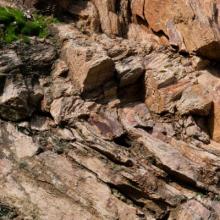
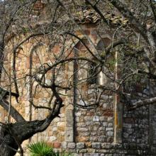
LAYOUT The route mainly follows a wide, comfortable path. The track leading down to La Salut from Puig Madrona is signposted as the PR-C 35. There is just one steep climb at the start, to ascend Puig Madrona. Do not worry about any signposts you may see. Follow the track. At the Coll de Faura there is a trail leading up the Turó de l'Alzinar, along the crest, from where you can drop down to rejoin the track. (For those preferring less of a path) WATER There are no springs. PRECAUTIONS Take care with your footing when descending Puig Madrona so as not to slip. TERRAIN The path leading up Puig Madrona and the track leading down to La Salut, have stones and roots which can be slippery after rainfall. EQUIPMENT Hiking poles are useful on the paths. Photographic equipment. OTHER AMENITIES The area around the Mare de Déu de la Salut hermitage has picnic tables. At the far end, as you cross the Torrent de Julià, you will see a path heading off on the left. This leads past Can Monmany. It is a large stone manor house, and probably one of the finest views along the route.





Una ruta realmente bonita o agradable!