Introduction
|
We recommend the Local Natura App to do this route. Download it for free here:
Apple store Google Play-
TypologyAnti-clockwise circular
-
DifficultyEasy
-
Duration2 hours 30 minutes
-
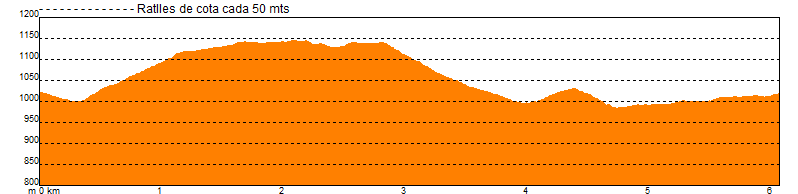
Slope250.00 meters
-
Distance6.20 km
-
ThemeFlora and faunaEnvironmentArchitecture and environment
-
ActivityBy foot
-
Rating
Slope graph
Description
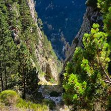
Non-evergreens, meadows and places to live |
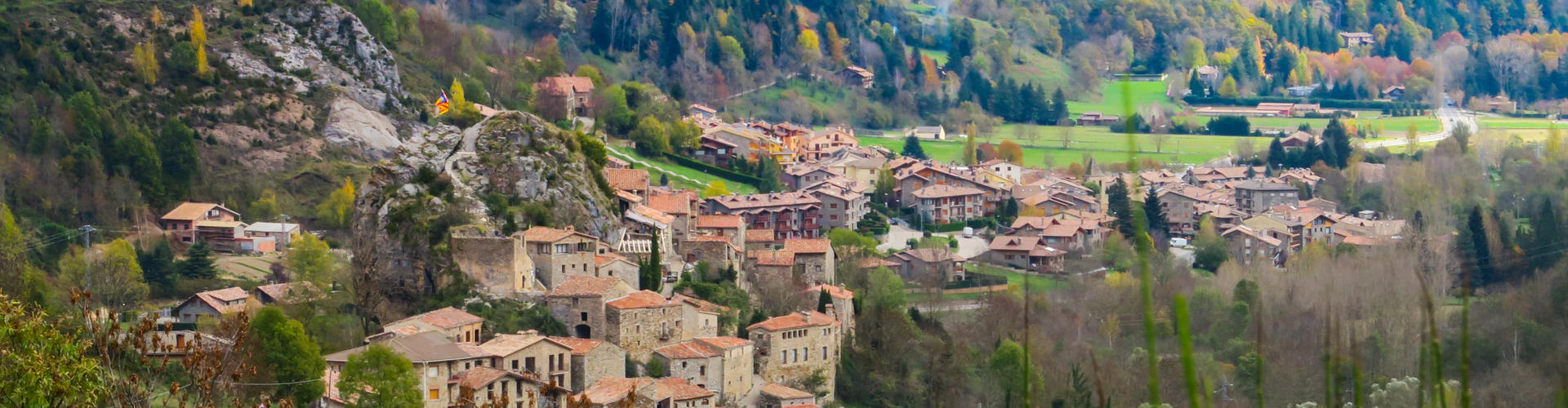
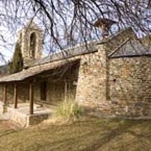
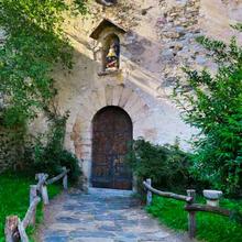
| We leave the Plaça dels Països Catalans (square) next to the church of Sant Martí de Vilallonga. We go down the town to cross the Ter and climb up the slope in front. The path, is firstly steep and then softens a bit. |
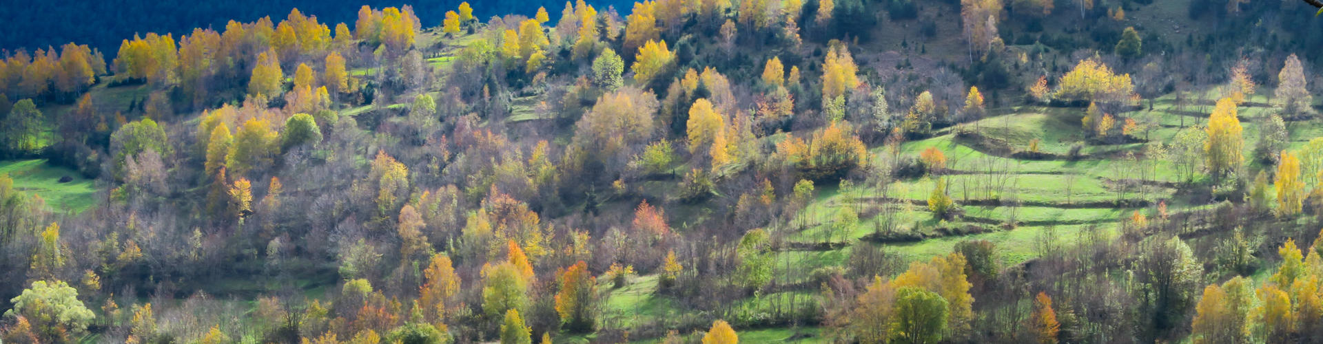
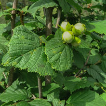
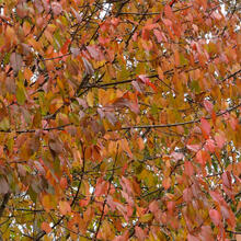
| We walk under a deciduous forest of ash trees, quinces and hazel trees. The first cherry-covered meadows soon appear. |
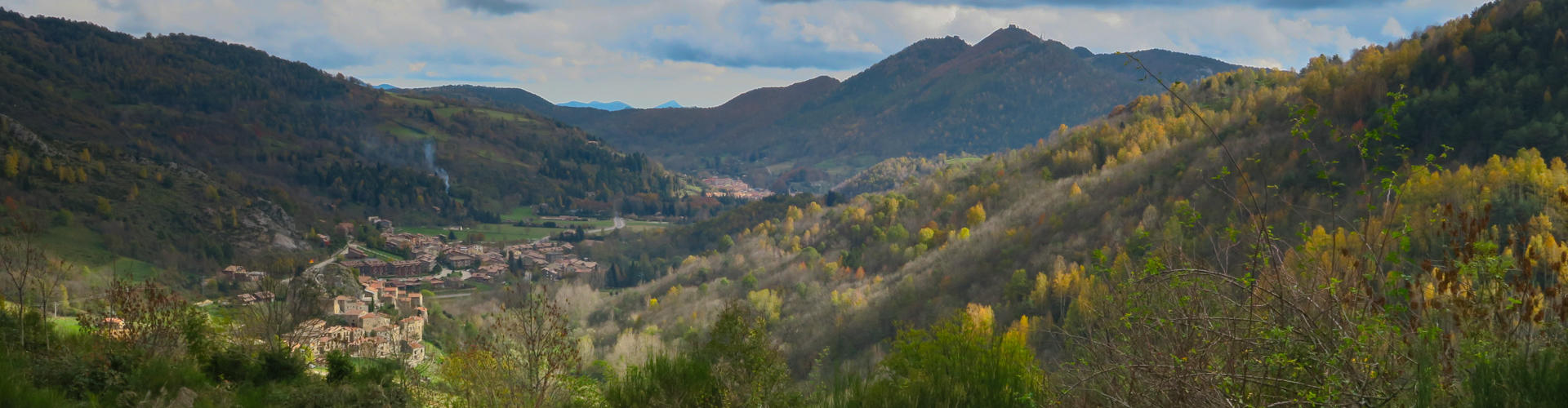
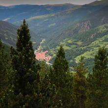
| Quickly, we turn to the obaga to enjoy views over the valley of Camprodon, but before going down, we will approach the beautiful village of Abella. Going up Pelanca Valley we would reach the Collada Verda to cross to Pardines. In front of us, we have the "obac" of Serra Cavallera that, in our sector, is the Pasteres and we see Puig del Pla de les Pasteres (1894m). |
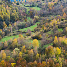
| It is worth mentioning the beautiful scenery of non-evergreens alternating with grass meadows and beech cuttings and ash forests on the rightmost part of the hillside in front: the Puig Furgat (1302 m) and the Ventós (1246 m) at the height of La Roca de Pelanca, where we now head to. The Serra Cavallera behind it, starts loosing height over Camprodon. |
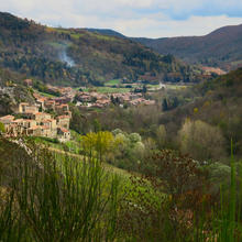
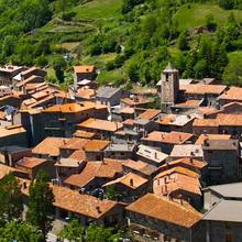
| We walk 100 meter down the road and, now, enjoying the Camprodon Valley and the villages, we go down to the first village we see: La Roca de Pelanca. Behind, we see Llanars and Camprodon. |
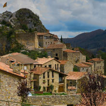
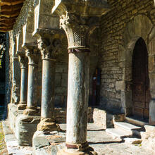
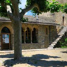
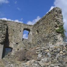
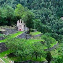
| We take the road and walk a few meters to La Roca. We take the opportunity to rest and stroll through its old town: the enclosed village, the remains of the castle, all with medieval scenary. |
|
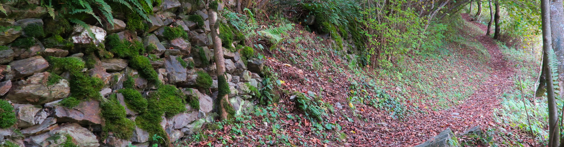
Let's go back a few meters on the way, now climbing, to take a nice path that, by the lower part of the former slope, under a turn of hazels and ash trees, next to the meadows of grass from the bottom of the valley , will return to Vilallonga de Ter. Before, however, we can make a last stop to take a drink of fresh water in the beautiful setting of the Font Negra (Black Fountain).
|


Tips
PATH |
| First part of the climb is quite long |
| Strong descent after Abella, going down to La Roca. |
| We recommend you to go to Abella. |
| Signs of the "Xarxa de Senders Itinerànnia": yellow stripes. |
WATER |
| Fountains at the villages |
| Black and White beautiful fountains are at the end of the route. |
PRECAUTIONS |
| Leave beef yarns closed. |
| Respect private property. |
| Careful with the local road sections. |
LAND |
| Starting path track is quite rocky. |
| Return trail that can be slippery if it is very humid. |
| If it's raining, it may be muddy. |
MATERIAL |
| Suitable clothing for the time of year. |
| Comfortable Walking shoes. |
| (according to type of itinerary) |
| Camera |
| Treble poles can help you to have a steady pace. |
OTHER EQUIPMENT |
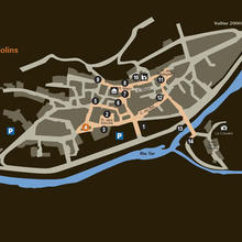
| Center squares of the villages of Vilallonga, Abella and La Roca. |
| There are poles with indications of distances and time in nearby villages. |
| There are tables in the Black Fountain area and is a very nice place. |
| Panel beside the river de Rutes a Cavall. There is a horse riding facility at Abella. |
Save the route
What to see in: Itinerary 16. Moss' path in Vilallonga de Ter
Es mostren 1 - 10 de 10


What to see in: Itinerary 16. Moss' path in Vilallonga de Ter
Es mostren 1 - 10 de 12
What to do in: Itinerary 16. Moss' path in Vilallonga de Ter
Es mostren 1 - 10 de 45