Introduction
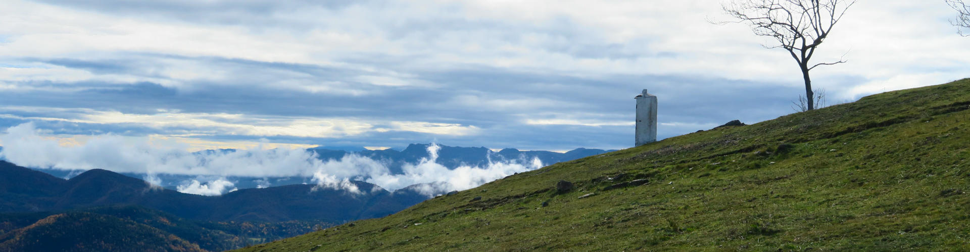
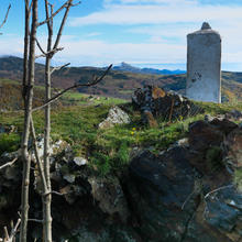
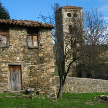
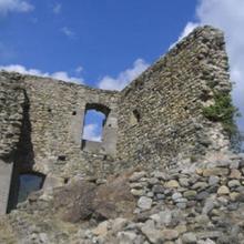
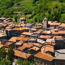
Watchtower on l'Alta Garrotxa and the Pirineus. |
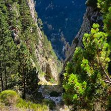
| This path goes towards the ridges that separate us from the valley of the River Ter. We will wrap the Torrent de la Font Vella between pastures and thunderous crops, going up to the Oratory of Sta. Magdalena, where we will enjoy the north of the peasant high mountain of the Pyrenees and to the south, of the forested average mountain of Alta Garrotxa. |
We recommend the Local Natura App to do this route. Download it for free here:
Apple store Google Play-
TypologyTime Circular
-
DifficultyMedian
-
Duration2 hours
-
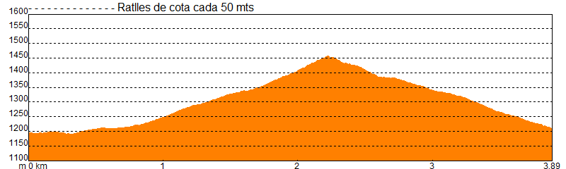
Slope280.00 meters
-
Distance3.70 km
-
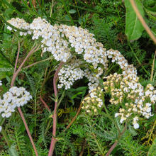
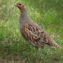
ThemeFlora and faunaEnvironmentLandscaping
-
ActivityBy foot
-
Rating
Slope graph
Description
Watchtower on l'Alta Garrotxa and the Pirineus.
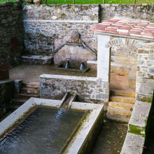
| We leave the parking lot next to the church of San Sebastián. |
| We enter the village to descend to the lawns of the Vella fountain (font Vella). This will be the torrent that we will first climb up to the oratory and after start the descent. |
| We leave the village along the neighborhood of Favars, very different from how it should have been years ago. The path goes straight up following the GR 11 that goes to Setcases. It is the old cattle way that linked these areas. |
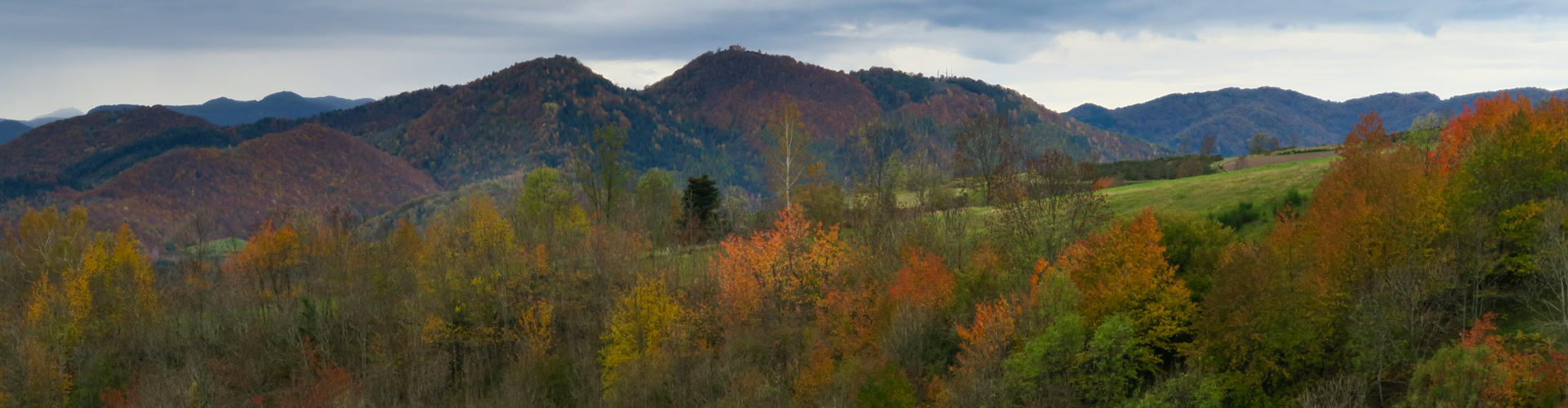
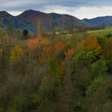
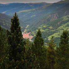
| The forest is set in the depths of the torrents and surrounds fields of crops and grassland until reaching the detour of the Mas de Can Pletis at 1300 meters height. Along the way up the views go to the sides: on the west, the Serra Cavallera and the Taga; to the east towards the Coll d'Ares and, if we turn looking down, the northern mountain ranges of the Alta Garrotxa on top of Camprodon. |
| From the departure of Can Pletis, the fields of grass are replaced by pasture meadows of high mountains and begin to see the Pyrenees and the French mountains of Espinavell, in the direction of Coll d'Ares. |
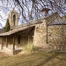
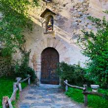
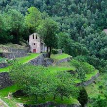
| Next to Santa Magdalena's oratory, it's worth to see 360º panoromic views and, and if the weather lets you do it, you'll enjoy it a lot. You will see the path that runs towards Setcases below the Puig de Sistra (1989 m) along the Coll de Lliens. |
|
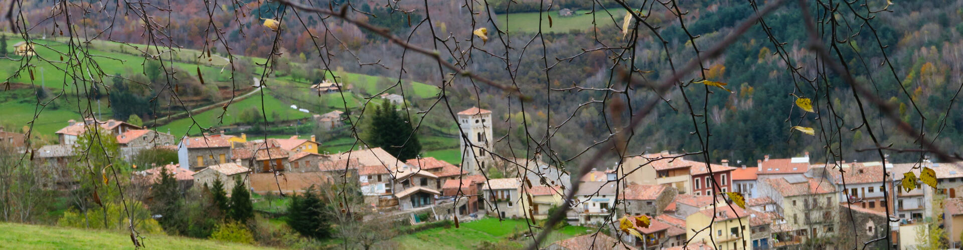
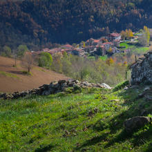
We walk down by the ridge that borders the other side of the torrent of the Vella fountain (Font Vella), direction to Can Pletis. We follow the yellow striped trail, surrounded by meadows and probably cattle. We will see fields full of potato plants, the town below us with the emerging bell tower of Santa Cecília de Molló, the valley that goes to the Coll d'Ares and the whole mountain range of the Alta Garrotxa as a backdrop, upholstered by deciduous forests.
|


Tips
PATH |
| Easy and obvious |
| Strong uphill climb all the first half until the oratory of Santa Magdalena. |
| Second half descent to Molló. |
| We will find GR signals (white and red) and Itinerànnia (yellow). Always follow the track. |
WATER |
| Fountains in the village and Can Pletis. |
PRECAUTIONS |
| You must be used to walking. |
| Stop to rest and contemplate the landscape |
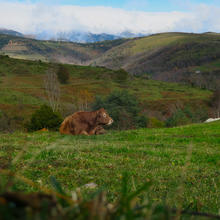
| Respect private property: fields, cattle. |
| Leave beef yarns closed. |
| The route is very exposed to wind. |
WEATHER |
| Check the forecast. The weather in the mountains changes very quickly. |
| The road is exposed: wind, sun, ... |
| Avoid doing it in rusty days and with little visibility. (fog, ..) |
LAND |
| Easy track |
| Some slightly rocky slope stretch. |
MATERIAL |
| Suitable clothing at the time of year and the particular day (wind, ...). |
| Sun protection in summer: there is no shadow. |
| Trees can strengthen the trek and help climb. |
| Comfortable footwear |
| Binoculars and camera. |
| Map to place nearby reliefs. |
OTHER EQUIPMENT |
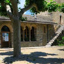
| Various explanatory panels for people on various topics: Transhumància, Espai Memòria,… |
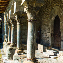
| Maps with heritage elements to visit Molló |
| Church of Santa Cecilia de Mollo. |
| Stroll through the streets of the village. |
Save the route
What to see in: Itinerary 18. Road from Mollo to Sta Madalena
Es mostren 1 - 9 de 9


What to see in: Itinerary 18. Road from Mollo to Sta Madalena
Es mostren 1 - 10 de 12
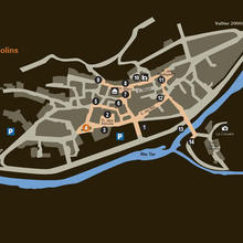
What to do in: Itinerary 18. Road from Mollo to Sta Madalena
Es mostren 1 - 10 de 45