Introduction
The Muntanya Gran and its Coves
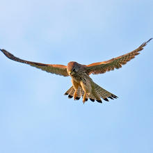
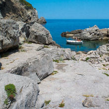
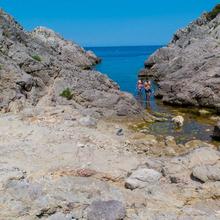
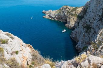
The “Route to Cala Ferriol” allows you to see much of the Muntanya Gran on the outward leg and discover three beautiful coves on the north side of l’Estartit. It takes you between groves of Aleppo pine and garrigue, and you will discover its flora and fauna and enjoy the peace and quiet of coves with calm crystal-clear waters while discovering the geological and natural curiosities of this part of the Montgrí Natural Park, the Medes Islands and the Baix Ter.
We recommend the Local Natura App to do this route. Download it for free here:
Apple store Google Play


-
TypologyTime Circular
-
DifficultyMedian
-
Duration3 hours 31 minutes
-
Slope586.00 meters
-
Distance12.33 km
-
ThemeFlora and faunaLandscaping
-
ActivityBy foot
-
Rating
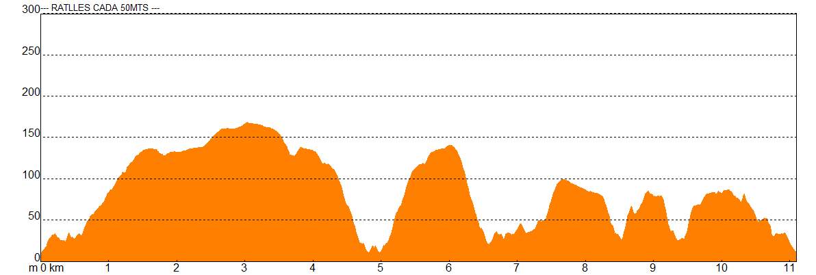
Slope graph
Description
The Muntanya Gran and its Coves
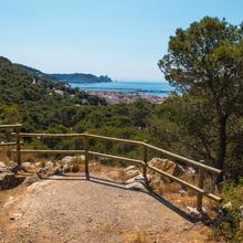
The “Route to Cala Ferriol” starts behind the tourist office in l’Estartit and passes through streets of the centre of the town before leaving it and heading uphill towards la Muntanya Gran on a paved road. The first stop is at Salt de l’Euga, an old waterfall which flowed in the Torrent d’en Planes seasonal stream, and is now an exceptional viewpoint overlooking l’Estartit.
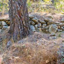
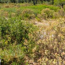
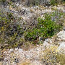
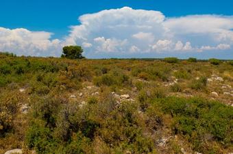
The route heads uphill on a paved track in the shade of a beautiful Aleppo pine grove until it reaches a signposted crossroads, where it follows the paved track which leads to the old communications base. The trail runs alongside an area with several quarries, before turning to the right and heading between the thickets of kermes oak on the Muntanya Gran where you can discover the features of the fauna and flora of this place.
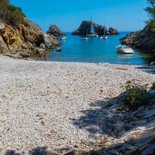
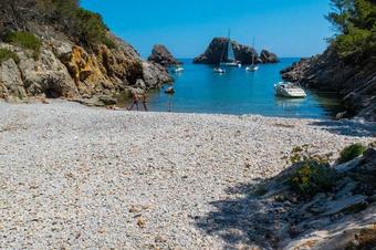
The trail is wide but at the same time difficult as far as the crossroads which leads to Cala Ferriol, because of the large number of rocks on it. The descent to Cala Ferriol is very straight and rocky but it is worth the effort and you will be rewarded with clean crystal-clear water in an incomparable setting.
From Cala Ferriol, you turn back, retracing your steps as far as the crossroads in the route which leads to Cala Pedrosa. At this point, you have to decide whether to return to l’Estartit on the same route as the outbound leg or to follow the circular route and go to Cala Pedrosa and Cala Calella. The circular route which leads to l’Estartit following the coast and visiting the coves is more demanding and has constant climbs and descents, but it is worth the effort.
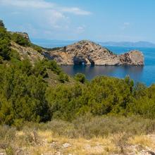
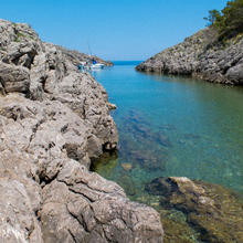
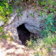
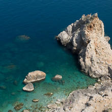
On the descent to Cala Pedrosa, stop to enjoy the views of la Foradada and Cap de Creus, and if you are lucky and it is windy, you might see air blowing out of the Pedrosa blowhole. La Pedrosa is a charming little cove with clear waters which has an atmosphere of calm.
Leave the cove on a flat and pleasant path through an Aleppo pine grove accompanied by the singing of large numbers of birds. The path is flat at first but gradually gets steeper until it reaches the top of la Pedrosa, where it starts descending again towards Port del Falaguer, where you can enjoy looking at the seabed, the impressive cliffs and the many birds nesting on them.
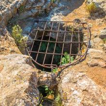
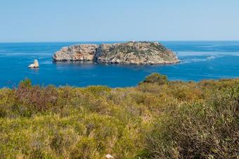
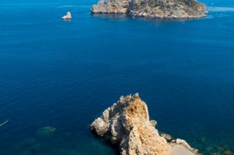
You now head uphill again to the Coll de les Salines, with views of the headland of the same name, before descending again to Cala Calella. From here, there is now just a short climb alongside els Arquets to Pou de la Calella and the Cap de la Barra viewpoint, which has one of the best views of the Medes Islands.
From the viewpoint, you descend on a quiet road to the promenade, which you follow to l’Estartit’s Tourism Office and your starting point.
Tips
ROUTE
- Route with sections with no signal. DO THE ROUTE OFFLINE
- The route alternates between trails and rocky paths.
- On some stretches the green and white marks of the local path help with following the route.
- If you prefer, you can go to Cala Ferriol and return by the same path, although we recommend doing the circular route.
- Short but steep climbs and descents on the coast path, especially climbing from and descending to the coves.
WATER
- There is an urban fountain as you leave the village.
- Bring plenty of water, especially in summer.
PRECAUTIONS
- Very high cliffs.
- Risk of falling if you get too close.
- Keep a close eye on children.
- There are lots of small paths leading to the cliff-edge. Caution!!
- Respect people’s private property and the surroundings in general. You are in a Natural Park.
- Take care not to twist your ankle on the rocky paths.
WEATHER
- The coastal path is uncomfortable on days with strong wind.
- Wear suitable clothing for the time of year and the weather forecast.
TERRAIN
- The trails and paths are rocky on the whole.
- Some uphill or downhill sections are on steep and rocky narrow paths.
EQUIPMENT
- Wear comfortable shoes with a good grip.
- Protection from the sun or wind if necessary.
- Camera.
- Food to eat at the half way point, before returning.


