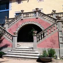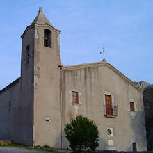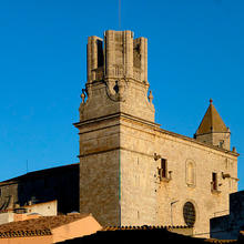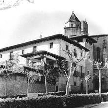
Introduction
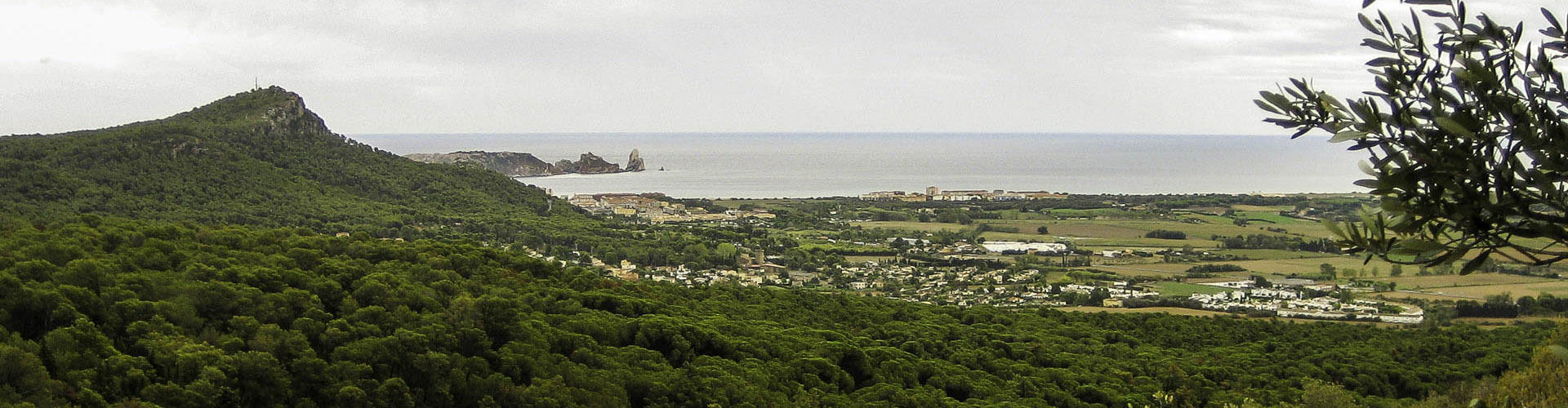
Walking on the Dune
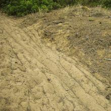
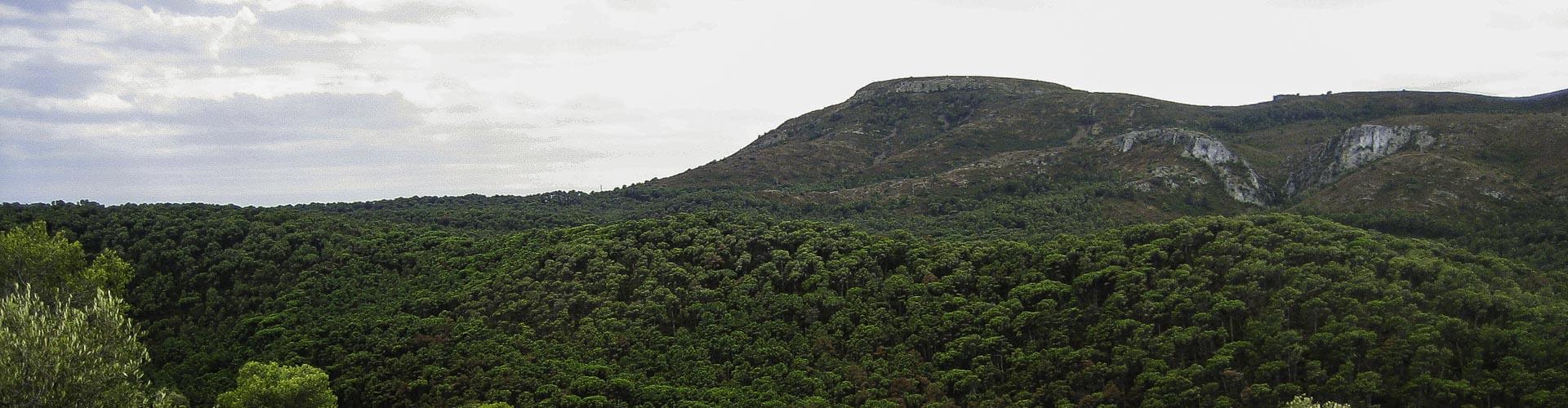
A limestone massif towering above the plain, the Montgrí. A great river which was redirected from its course, the Ter. A wild wind moving the sand, the tramuntana. These are the main factors which, in the medieval period, created these inland dunes which then spread moving uncontrollably to the south, swallowing everything in their path.
We recommend the Local Natura App to do this route. Download it for free here:
Apple store Google Play-
TypologyAnti-clockwise circular
-
DifficultyEasy
-
Duration2 hours
-
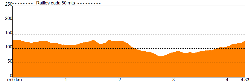
Slope100.00 meters
-
Distance4.00 km
-
ThemeFlora and faunaGeologiaEnvironmentLandscaping
-
ActivityBy foot
-
Rating
Slope graph
Description
Walking on the Dune
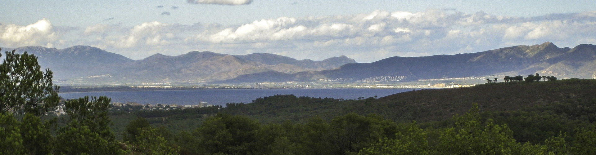
Ponç Hug, the Count of Empúries, changed the route of the Ter in around 1302. At the level of the town of Verges, dams redirected the waters to the south of the Montgrí Massif. This was when the inland dune started to form. The dry river bed was no longer a barrier to the movement of the sands deposited by the Muga, the Fluvià, and the Ter itself. Transported and piled up by the tramuntana wind, several large mobile dunes advanced until the end of the nineteenth century, causing various problems for agriculture and the population. These dunes covered up to 340 hectares, advancing by 16 metres per year on average.
In 1882 the forest engineer Primitiu Artigas i Codina suggested setting up a special comission to deal with the dunes. In 1895 the forest engineer Xavier de Ferrer i Lloret started a long process of forest engineering to turn the dunes into a pine forest.
The decision was taken to plant European beachgrass (Ammophila arenaria) on the inland dune, which currently has a maximum depth of 30 metres. This species is part of the plant communities of dunes. European beachgrass was planted in bunches arranged in lines perpendicular to the direction of the tramuntana wind, with windbreaks constructed previously.
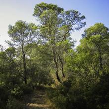
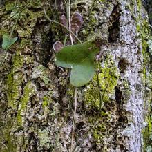
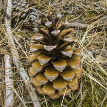
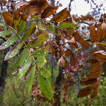
It was then reforested by planting tree and shrub species which can still be seen today: Conifers like Aleppo pines (Pinus halepensis), stone pines (P. pinea), maritime pines (P. pinaster), cypresses (Cupressus sempervirens) and Phoenician junipers (Juniperus phoenicea). Drought-resistant shrubs like mastic (Pistacia lentiscus), Mediterranean buckthorn (Rhamnus alaternus) and Spanish broom (Spartium junceum). Aromatic shrubs and plants like cistuses (Cistus sp.) and rosemary (Rosmarinus officinalis).
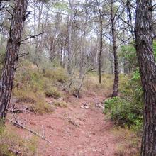
The route uses narrow paths which follow the crests and gullies of the dunes. You walk on the sand, now fixed by the roots of the vegetation.
Tips
ROUTE
- The first stretch is on a paved track. The rest of the route follows narrow sandy paths and unpaved tracks.
- This route does not feature major climbs or descents.
WATER
- Although there is a fountain with treated water at the starting point, we recommend taking water with you.
- The fountains you will find or which are signposted during the route are not guaranteed to be safe to drink and are often dry.
PRECAUTIONS
- Do not leave the marked paths; the ground in the dunes is very fragile.
- Respect the plants and fauna. Each plant has an important role in retaining the soil of the dunes.
- This is a natural park. Respect the reccomendations and requirements of the rules.
WEATHER
- In the summer, even though the route is in a forest, it can be hot in the middle of the day.
- In the winter, on days with the tramuntana wind, wear suitable clothing.
TERRAIN
- The terrain is sandy, dry and comfortable and has open and well-maked paths.
EQUIPMENT
- Light comfortable footwear.
- A camera and map of the area might be useful.
OTHER FACILTIES
- Where you park your car, at the Coll de les Sorres, there is a picnic area with a fountain, tables and bins.
- On almost all of the route, you will find information boards and signs showing the routes you should not follow.