Introduction
Mountain refuges with history. |
| This moderate difficulty tour [VBA1] is a good way to start exploring the Pyrenees from its historical refuges. The alpine landscapes and its mountains, valleys and glacial cirques, which are in this case head of major rivers like the Ter, within Ulldeter site. |
We recommend the Local Natura App to do this route. Download it for free here:
Apple store Google Play
-
TypologyTime Circular
-
DifficultyMedian
-
Duration1 hour 25 minutes
-
Slope345.00 meters
-
Distance4.50 km
-
ThemeLandscaping
-
ActivityBy foot
-
Rating
Slope graph

Description
Mountain refuges with history. |
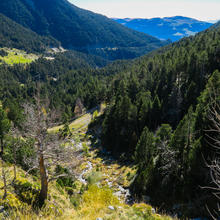
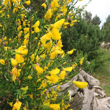
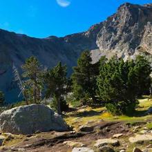
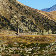
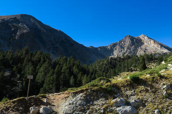
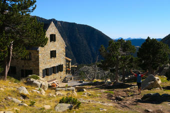
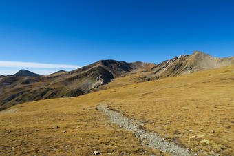
| We start to climb to the Ulldeter refuge, through a very beaten path, crossing odorous broom heath in spring, accompanied by pine woods, facing the large grain buckwheat. Once at the refuge views improve and we notice how the subalpine pine forest becomes more sparse and disappearing to give way to alpine meadows. At the end of the plain on top of the refuge, continue straight on along the "Coll de la Marrana". |
|
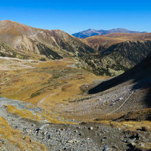
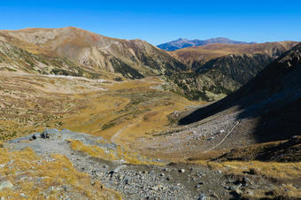
Before climbing, behind us we have a clear vision of Ulldeter's circus. The head of the Ter river's glacial origin, from Gra de Fajol to the Puig de la Llosa, passing through Bastiments. At the bottom, the Canigó, and to the right, the culminating part of the Costabona.
|
Tips
PATH |
| It is better to follow the path in Offline mode. |
| The first section coincides with the path of Ulldeter to Núria. |
| First part of constant rise and secondly we find a descent. |
WATER |
| At the refuge. |
| In case of need, the torrents bring water but it is always better to carry it in the backpack, as cattle could contaminate it. |
PRECAUTIONS |
| Meteorology in high mountains is very unstable. |
| You'll be very exposed to wind. |
| At high parts there are no shadows. |
| Respect wildlife and cattle that graze. |
WEATHER |
| Avoid high-heat hours in summer. There are no shadows. |
| Avoid doing the path if it rained or it is raining. |
| Check the forecast. Wind days are very annoying and even dangerous. |
| In winter, snow and wind can play a bad treat, you have to be equipped with winter material. |
LAND |
| High mountain land. |
| Narrow walking paths. |
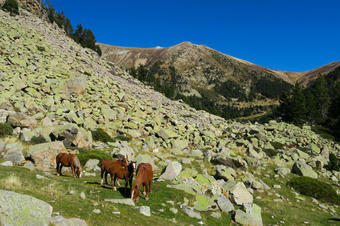
| Rocky paths with screes. |
| Grass fields with grooves. |
| When going down, it is easy to slip or suffer ankle sprinkles. More if we are tired. |
MATERIAL |
| Resistant and suitable footwear for high mountains. Waterproof, which hold our ankles are recommended. |
| Three-pole poles will help us stabilize the descents. |
| Suitable clothing according to the season. Always be predictors of possible changes in the weather. You should never forget raincoats and warm clothes. |
| Solar protection. Caps, cream and sun-glasses. |
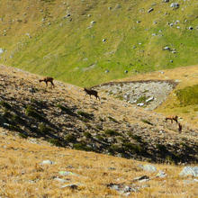
| Binoculars will help us to improve the experience, as you will be able to see the nearby chamois. |
| The landscapes of the high mountains are a good memory to take home. |
| A map and a compass will help us understand the environment and guide us through it. |
OTHER EQUIPMENT |
| Ulldeter's refuge half way up towards Coll de la Marrana. |
| Before the first slopes' parking lots, there is a hostel on the road. |
| You will find a panel which informs about the chamois in the parking lot of the Pla de la Molina and another on the Ulldeter Pyrenees sector, at the last turn of the road, just before reaching the path that goes up to the refuge, below Puig dels Lladres. |


