Introduction
Stage 2. From Torroella to Pals through the villages of the heart of the Empordanet
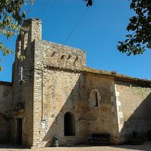
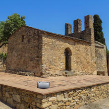
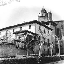
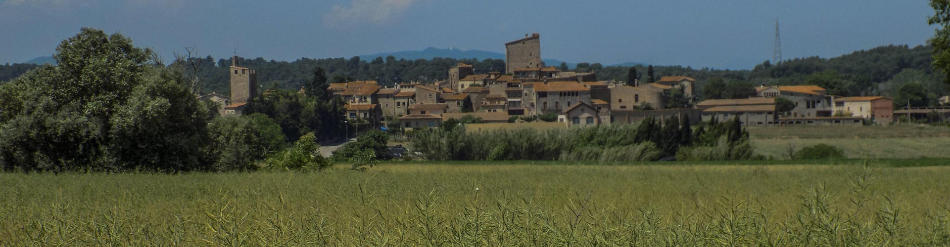
The second stage of the Montgrí and Baix Ter Route starts in Plaça del Lledoner in Torroella de Montgrí, a start and end point shared with the other stages, and leads to Pals through the villages of the heart of the Empordanet. After passing through Gualta, this stage goes through the forest-agriculture landscape of the Empordanet, passing through or making short visits to the villages of Llabià, Fontanilles, Palau-sator, Fontclara and Sant Julià de Boada and ending in Pals.
We recommend the Local Natura App to do this route. Download it for free here:
Apple store Google Play-
TypologyCrossing
-
DifficultyMedian
-
Duration6 hours 40 minutes
-
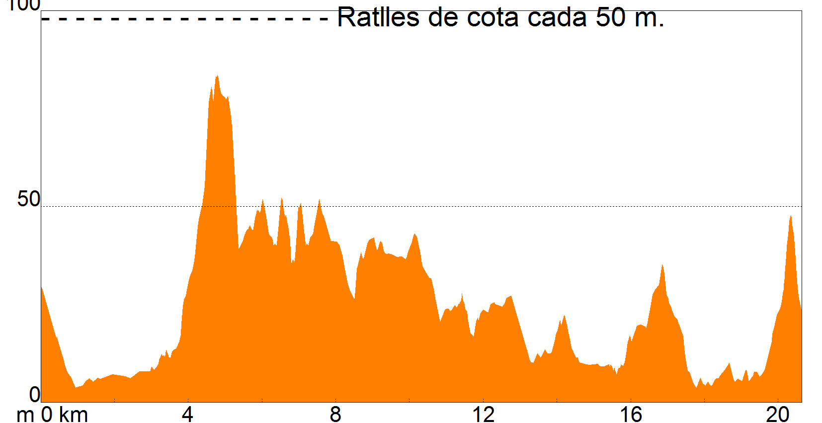
Slope170.00 meters
-
Distance20.50 km
-
ThemeEnvironmentArchitecture and environmentLandscaping
-
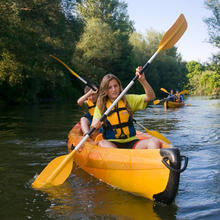
ActivityBy footBy bike
-
Rating
Slope graph
Description
Stage 2. From Torroella to Pals through the villages of the heart of the Empordanet
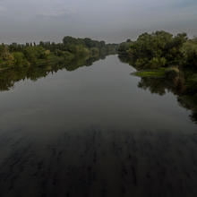
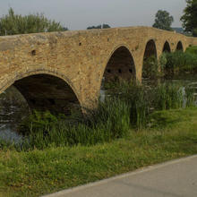
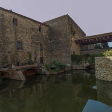
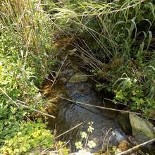
The route leaves Torroella de Montgrí to seek out the bridge over the river Ter, the main entrance and exit to the town. It then immediately follows the Ter bank route and the final stretch of the new branch of the river Daró, heading towards Gualta, with its old bridge and mill, which it passes through virtually from one end to the other.
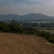
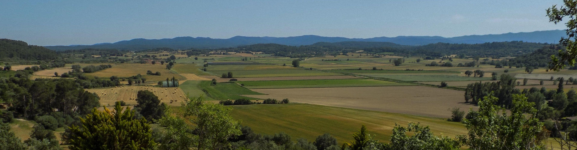
The route leaves Gualta on a short climb to the top of Puig de la Font Pascuala, which is not very tall, but is high enough to provide a panoramic view of all of the Baix Ter plain, the Begur Mountains as far as the bare Montgrí Massif and the whole extension of the fields of rice and other crops, which take advantage of the fluvial and coastal plain.
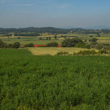
Further on, after another turn around the feet of the promontory but on the opposite face, you join the track connecting Llabià to the villages to the south of its plain. From here, you make a foray as far as Llabià to enjoy the second panoramic view of the day, this time of the Ullastret plain.
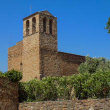
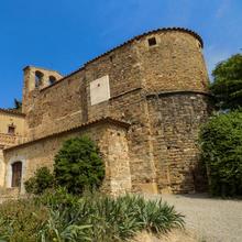
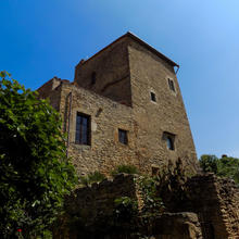
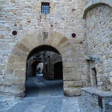
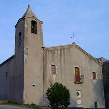
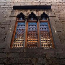
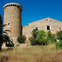
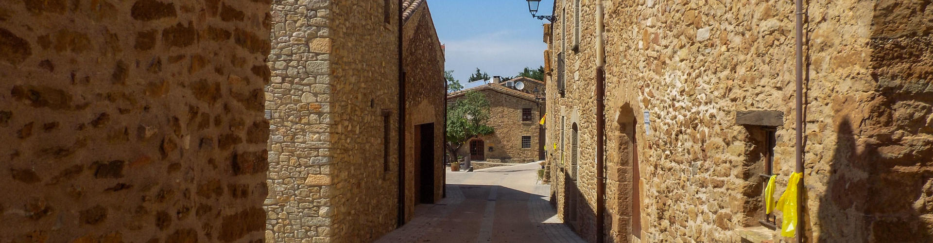
The track then leads you to paths passing by centuries-old olive trees en route to Fontanilles, a village which breathes rural calm and simplicity. Further on, you can explore one of the highlights of the area, the walled village of Palau-sator, which you pass through on its most picturesque streets, enjoying the old castle and the slender Torre de les Hores. More track, now to Fontclara and finally Sant Julià de Boada, quiet villages that, in addition to Palau-sator comprise the municipality.
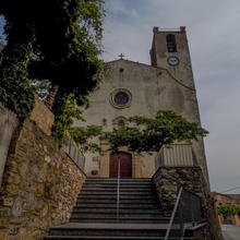
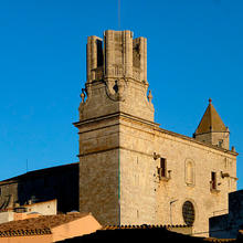
All that remains now is the final stretch to Pals, which takes you to this hilltop town, one of the favourites of the Catalan writer Josep Pla in order to appreciate the contemplative qualities of the landscape of the Empordanet. Do not miss out on following in his footsteps through his old town to the top of the Pedró, where the viewpoint that bears his name is located. There is nothing like it!
Tips
ROUTE
- A very easy route, entirely on well-made rural tracks and paths with a few stretches on roads.
WATER
- Water can be found in all of the villages. Nonetheless, the itinerary is long, and we recommend taking a full bottle from the start.
PRECAUTIONS
- Some of the tracks you walk on can be very busy with tractors and other vehicles depending on the time of the year. It is better to walk on the left-hand side facing the direction of travel at all times.
WEATHER
- The route is very open and has little shade. Protect yourself well from the effects of the sun.
TERRAIN
- The terrain is easy throughout all of the route.
EQUIPMENT
- Hiking poles might help on the long trail sections.
- Binoculars and a camera for watching birdlife and photographing the villages of the Empordanet.
OTHER FACILITIES
You will have no trouble finding a wide variety of bars, restaurants, accommodation, tourist services and information about the area in Pals, Torrorella de Montgrí, Gualta and Palau-sator. In the other villages the route passes through, facilities are limited or non-existent.