Introduction
A vantage point in the Baix Ter
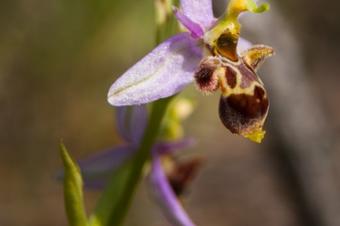
Let us help you discover the magnificent land of the Baix Empordà on a circular route full of contrasts between mountains and the plain, woods and fields, where you can enjoy a wide variety of birds and plants, as well as the beautiful orchids that flower in the spring.
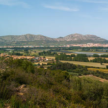
The route will take you to the top of the Puig de la Font Pasquala, which has a great panoramic view of the Baix Ter spread out between the Montgrí Massif and the Begur Mountains.
We recommend the Local Natura App to do this route. Download it for free here:
Apple store Google Play-
TypologyAnti-clockwise circular
-
DifficultyEasy
-
Duration2 hours
-
Slope120.00 meters
-
Distance8.00 km
-
ThemeFlora and faunaArchitecture and environmentLandscaping
-
ActivityBy foot
-
Rating
Slope graph

Description
A vantage point in the Baix Ter
The excursion starts in Fontanilles, a quiet village with some charming corners you can see when you return. You now head for the route’s main objective: the Puig de la Font Pasquala, which rises a modest 92 metres above sea level, but which is enough to provide views of the Baix Empordà which are a reward for the climb.
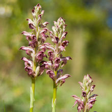
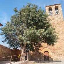
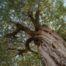
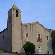
This initial section of the excursion crosses old abandoned cultivated areas, mainly with olive trees which were planted in terraces built from dry stone. The space is now occupied by pine groves and wasteland where an abundance of different orchid species stands out and can be seen in the springtime. You now descend from the Puig de la Font Pasquala to discover the delightful town of Llabià, located on top of a hill with good views of the old lake of Ullastret. Inside the village you can stop for a drink of water at the fountain in the square of the Church of Sant Romà in the shade of a large carob tree.
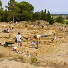
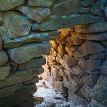
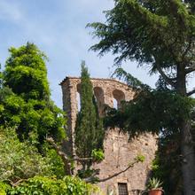
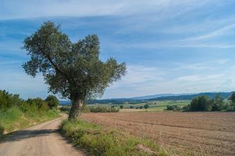
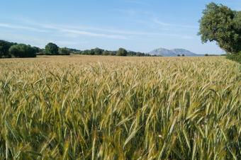
It is now time to head back the way you came, from now on following the path which skirts the fields that occupy the dried-out lake of Ullastret. On the other side of the lake’s bed, the island of en Reixac is visible in the distance as is the Turó de Sant Andreu, where there were major Iberian settlements of the tribe of the Indigets. As you follow this path, which leads to Peratallada, you will see an unusual channel made from dry stone between some fields. Now leave the path between Llabià and Peratallada, which leads back to Fontanilles, to carry on walking among extensive fields of fodder, cereals and olive trees to reach the village, where we will see the rec del Molí canal and the Church of Sant Martí.
Tips
Route
- There are lots of orchids and at some points they are signposted. For this reason, this walk is especially good in the spring.
- The starting point is on a road where it is easy to park. The route ends in the church square in Fontanilles which is close by.
Water
- There is a fountain in the square of the Church of Sant Romà in Llabià, but it is also important to carry plenty of water.
Precautions
- Take care when crossing the Fontanilles-Gualta road.
Weather
- Avoid going out in the middle of the day in the summer.
Equipment
- It is a good idea to take binoculars for bird watching.
- Wear a hat and sun cream on sunny days.
Other facilities
- The Iberian city of Ullastret is close to the route. It is well worth visiting, either leaving the route or after the excursion.





1hr 40mins at an easy pace. We didn’t include the extension out to the village. Great views. All on tracks.