Introduction
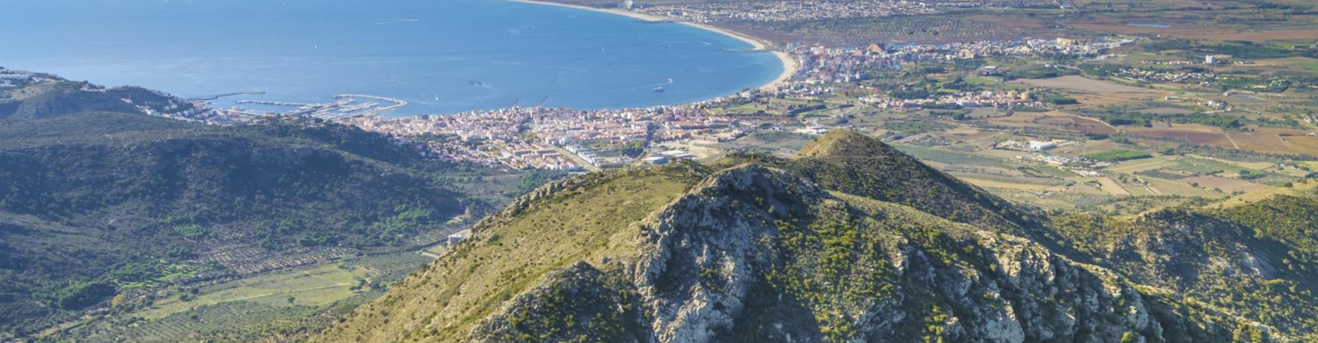
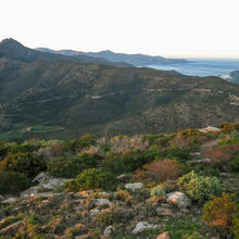
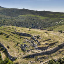
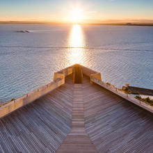
An eagle’s eye view of the bay.
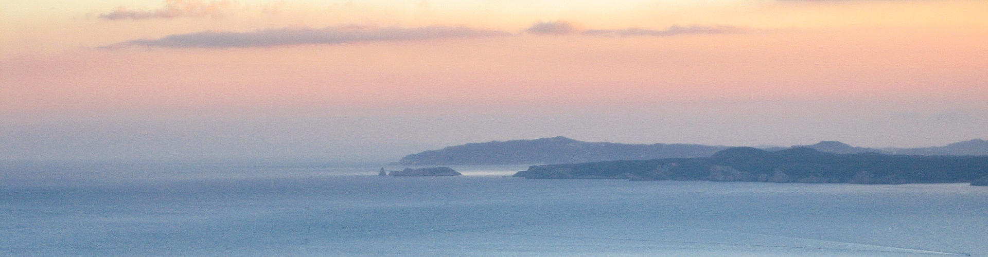
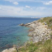
Leaving from the Mas Oliva residential development, we’ll enter the Alzeda valley and climb Pic de l'Àliga (463 metres). At noon, the silver sea of the great Bay of Roses will be lit up before us. To the north, with an eagle’s eye view, we will see the more modest Bay of Port de la Selva, enclosed between valleys and mountains of the coast of Cap de Creus.
We recommend the Local Natura App to do this route. Download it for free here:
Apple store Google Play-
TypologyAnti-clockwise circular
-
DifficultyMedian
-
Duration2 hours 30 minutes
-
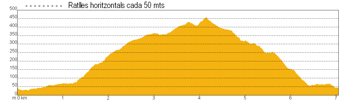
Slope461.00 meters
-
Distance7.00 km
-
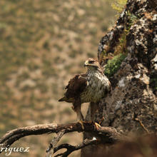
ThemeFlora and faunaEnvironmentLandscaping
-
ActivityBy foot
-
Rating
Slope graph
Description
An eagle’s eye view of the bay.
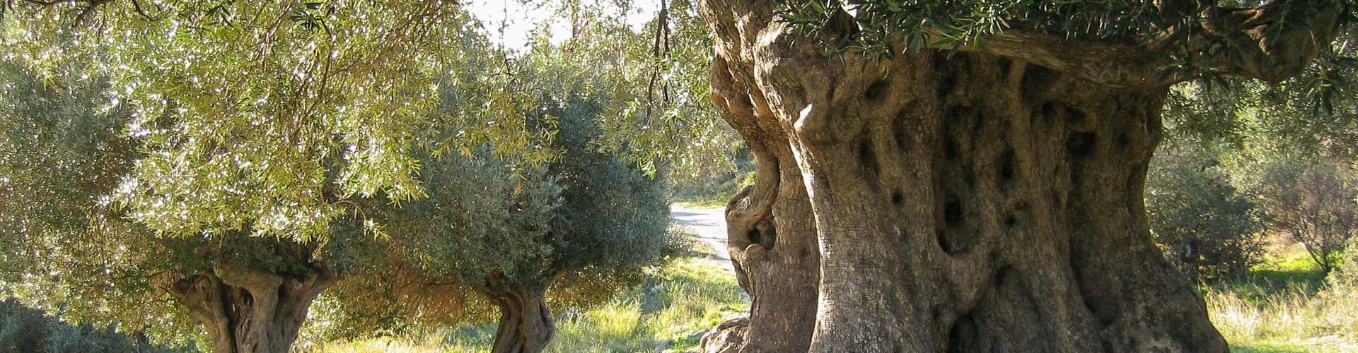
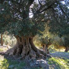
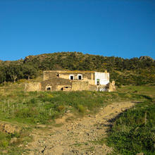
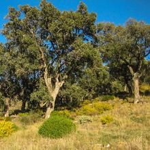
We start in front of the Rescator padel tennis club at Mas Oliva in Roses and climb gently along a track that leads into the Alzeda valley. Just before arriving at the farm that gives its name to the valley, we will find an enormous olive tree on a curve in the road that was planted several hundred years ago. We reach the farmhouse which is uninhabited and in ruins, with only some sheep and goats grazing in its meadows giving life to this solitary location. The path climbs steeply, flanking a grove of cork oaks which have grown quite large as the cork hasn’t been removed for many years.
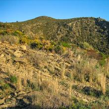
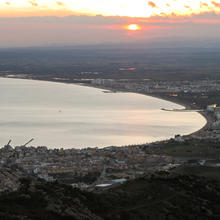
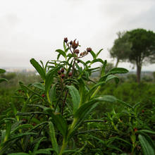
We will soon have a good view over the valley and the town of Roses. While we climb steeply, the scrubland is dotted with wild olive trees, mastic trees, heather, rock roses, thorny broom, gorse, etc., which leave exposed the dark and rusty-coloured schist covered with multicoloured lichens. We will arrive at Pla de Can Causa, another ruined farmhouse in an imposing location. The first thing that strikes us is the spherical dome of the military base that crowns Puig del Pení (607 metres). This is the highest point within the Roses and Cadaqués area. To the north, delimiting the boundaries of Palau-Saverdera and Selva de Mar, Sant Salvador (670 metres) is the highest peak in the Serra de Rodes.
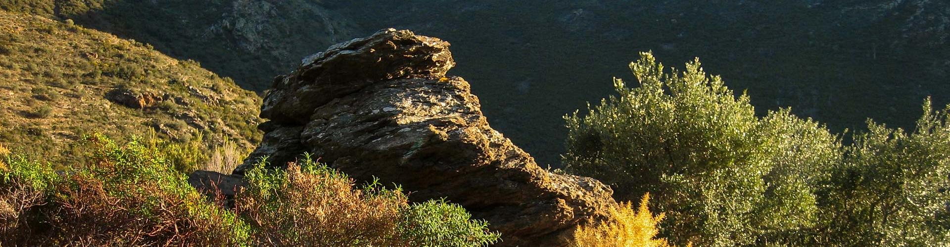
We will turn towards Poniente and climb along the ridge. Here the conditions for the vegetation are extremely harsh: with strong winds, drought, grazing, fires, etc., the plants take on prostrate shapes and are protected between the blocks of stone of the Cim de l'Àliga (463 metres). From here we can see a wide view of the Bay of Roses to the south and Port de la Selva to the north.
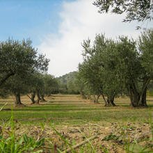
We descend following the ridge, losing height quite rapidly until we reach a hill where gnarled cork oaks grow on the terraces of some barely recognisable old vineyards. When we arrive back in the vicinity of Mas Oliva, we find the olive groves from which the precious oil of the argudell and verdal varieties is extracted.
Tips
ROUTE
- Some stretches are uphill and as you reach the top, the climb gets steeper.
WATER
- There are no sources of drinking water, therefore you must bring water with you
PRECAUTIONS
- Respect crops and private property.
WEATHER
- There is no shade. In summer avoid the hours of maximum sunshine.
- In winter, on windy days, appropriate clothing must be worn.
TERRAIN
- The terrain is stony. Wear appropriate footwear.
- Near the summits there are some points with a steep descent.
EQUIPMENT
- Sunglasses, binoculars, topographic map, camera.
OTHER NOTES
- At some points you will see signposts and footpath signs that shouldn’t be followed.


Durant la pujada i a dalt les vistes són molt boniques. La baixada és curta però intensa. Cal portar aigua i anar ben calçat. evitar dies de caça.