Introduction
The sea, the granite rock and the forest.
A varied itinerary where you can discover the main landscape features that define this Ardenya massif next to San Feliu. We walk along in the shade of the forest to quickly reach the sea, skipping over the pebbles and climbing the cliffs to reach the fantastic Sant Elm lookout point. We will come down next to the Camino de Ronda to come back to Sant Feliu past several lookout points.
We recommend the Local Natura App to do this route. Download it for free here:
Apple store Google Play

-
TypologyAnti-clockwise circular
-
DifficultyMedian
-
Duration3 hours
-
Slope380.00 meters
-
Distance7.80 km
-
ThemeFlora and faunaGeologiaLandscaping
-
ActivityBy foot
-
Rating
Slope graph

Description
The sea, the granite rock and the forest.
We are in the extreme North of the Coastal Mountain Range, in the Ardenya-Cadiretes massif, where this stops abruptly at the Mediterranean. The Ridaura plain and its towns, amongst them Sant Feliu de Guíxols, separate us from the last massif of this mountain range: les Gavarres.
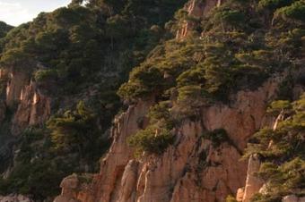
This itinerary includes the main natural assets that define this area. Pine forests, cork oaks, cliffs and panoramic views from the lookout points.
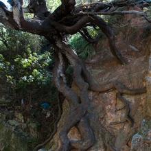
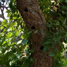
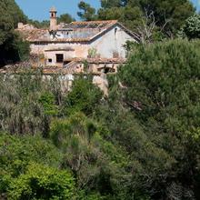
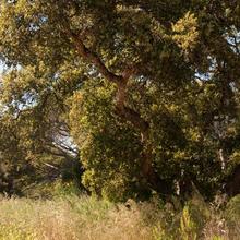
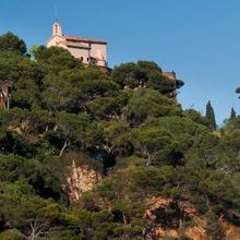
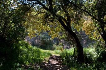
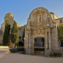
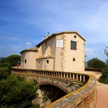
We start behind the Monastery and climb paths and tracks in the direction of Monticalvari. We pass through a forest dominated by stone pines of varying density. Cork oaks are scattered about this pine forest and occasionally form clusters where we can find some nice specimens. As we go up, we pass small, dried-up streams, where the change in vegetation is obvious: the trees are larger and we see some remnants of holm oaks with dense, impenetrable undergrowth.
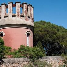
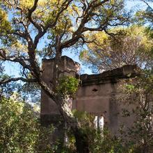
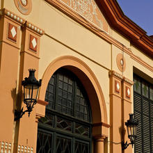
From time to time we will see abandoned ruins of recent occupation (20th Century). Constructions in the form of abandoned castles or country houses, until we reach the cork oak of Ca n'Oliva.
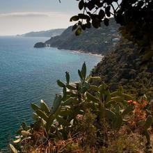
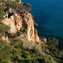
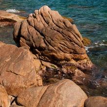
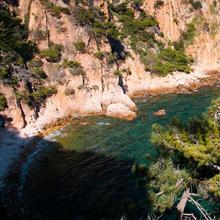
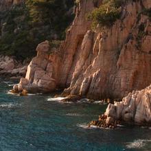
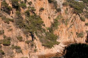
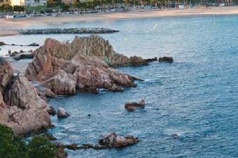
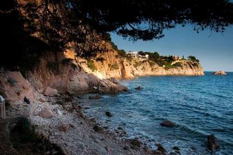
We cross the urbanisation to go down in a sharp zigzag towards the beach of the "Les Penyes" sector. A great natural lookout point with views of the coast in the Tossa de Mar direction. This is where the pink part of the itinerary starts. Granite breaks away in the form of blocks and large rocks above the sea. We are at the water's edge. We can hear the waves breaking and the stones moving beneath the water. We walk in a Northerly direction, jumping over the "skittles". We pass by a few freshwater wells and see how the vegetation also comes right up to the beach. After a short while, enjoying the sea, the stones and the sun, we arrive at the most abrupt part (after sa Platjola), where the beach disappears and the sea meets the rocks. We go up to get past this bit and views to nearby Cala Vigatà (below us) and the beautiful sector of pink cliffs that reach the Punta de la Cova open up.
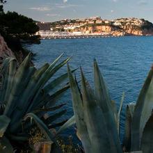
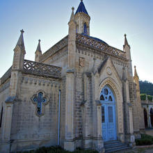
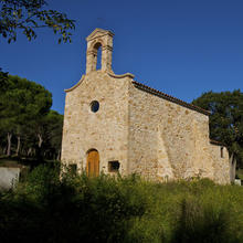
To the right, above us, Sant Elm guides us. On reaching the chapel we can enjoy panoramic views once again. Now we go down to Punta Garbí, passing the pretty Las Modistas lookout point, where we will recognise part of the path travelled. Now we just have to follow the coastline, with views of Sant Feliu, the beach, the port and the Fortim; and the Camino de Ronda of the Northern sector under the Puig de les Forgues.
Tips
TRAÇAT
- No féu cas de les marques que trobareu. Aneu comprovant la vostra posició en el track del mòbil.
- Trams curts però forts, tant de pujada com de baixada.
- Baixada forta a la costa.
- Camí per la plata inexistent. Cal buscar com passar per sobre les pedres i els blocs.
- A l’últim tram de la platja, s'ha de pujar un tros de penya-segat equipat amb graons i cable. (via ferrada de nivell fàcil).
- Baixar a cala Vigatà és opcional.
- Arribar a Sant Elm, també és opcional però val la pena.
- El tram de costa, és lent de fer. Ens trobarem bolos a la platja, escales de forta pujada, passos de via ferrada.
AIGUA
- No trobareu fonts.
PRECAUCIONS
- Relliscar als forts pendents de sauló.
- No deixar els nens sols als trams de penya-segat.
- No baixeu a la platja si hi ha mala mar.
- El tram de la platja de les Penyes, es pot fer llarg i pesat. Cal gaudir del paisatge i anar passant per sobre els rocs com si fos un joc. Exercitarem l’equilibri.
- El tram de via ferrada, és fàcil però cal extremar l’atenció i les precaucions.
METEO
- El recorregut pel bosc és força ombrívol.
- El tram de costa només està exposat al sol arran de mar.
- Evitar els dies de vent i mar forta.
TERRENY
- Accidentat a la costa. Lent de caminar.
- Sorrenc als corriols del bosc.
MATERIAL
- Calçat amb bona sola, adherent i resistent.
- Uns pals de tresc ens poden donar estabilitat. S’han de poder plegar per transportar-los còmodament al tram de via ferrada.
- Màquina fotogràfica.
- Aigua i alguna coseta per anar menjant.
ALTRES EQUIPAMENTS
- Baixant a cala Vigatà hi ha un plafó sobre els valors naturals.
- No oblideu pujar a Sant Elm si no ho heu fet.
- De tornada podeu passar per l’Oficina d’Informació ubicada al costat del Monestir i programar la visita per un altre dia.


