Introduction
From cove to cove on the Cap de Creus.
This enjoyable route takes in the GR92 footpath along the stretch between Cala Montjoi and Cadaqués, passing almost entirely within the Natural Park of the Cap de Creus.
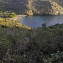
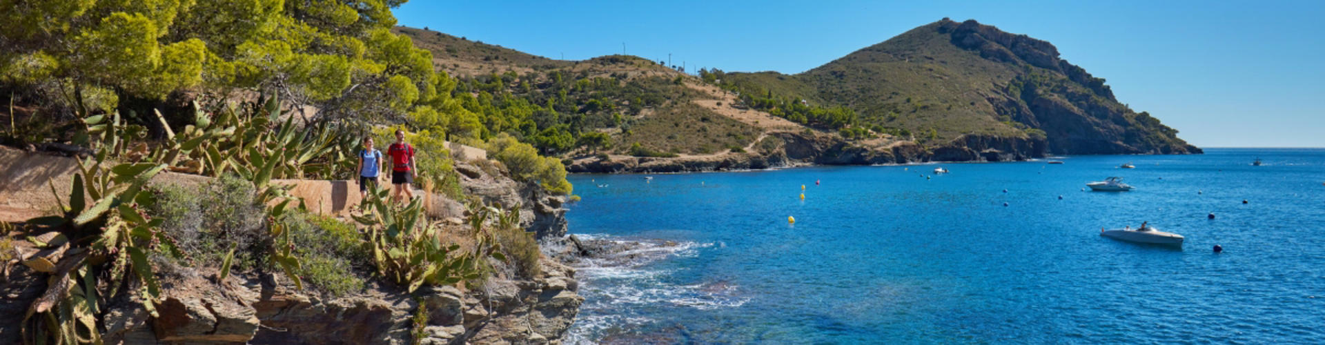
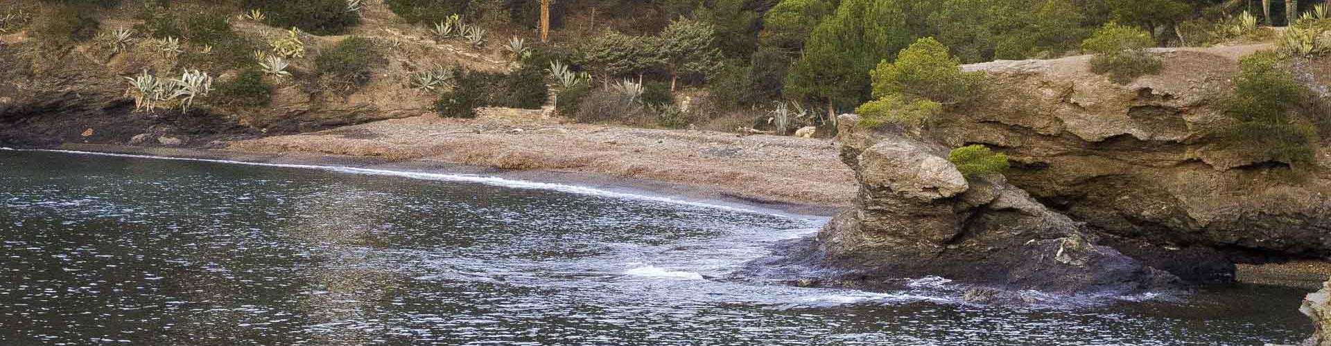
It crosses some of the most spectacular coves of the northern Costa Brava, such as Cala Calitjàs, Cala Pedrosa and Cala Jóncols.
We will follow the coastline of the Natural Park of the Cap de Creus from cove to cove and we will cross the impressive Cap of Norfeu leading us towards the small town of Cadaqués.
We recommend the Local Natura App to do this route. Download it for free here:
Apple store Google Play-
TypologyLinear
-
DifficultyMedian
-
Duration2 hours 51 minutes
-
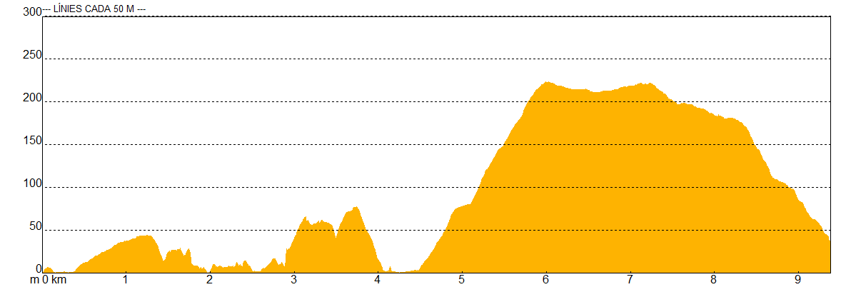
Slope387.00 meters
-
Distance10.00 km
-
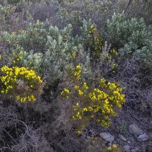
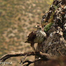
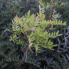
ThemeFlora and faunaEnvironment
-
ActivityBy foot
-
Rating
Slope graph
Description
From cove to cove on the Cap de Creus.
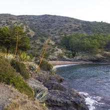
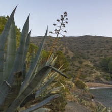
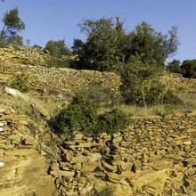
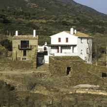
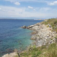
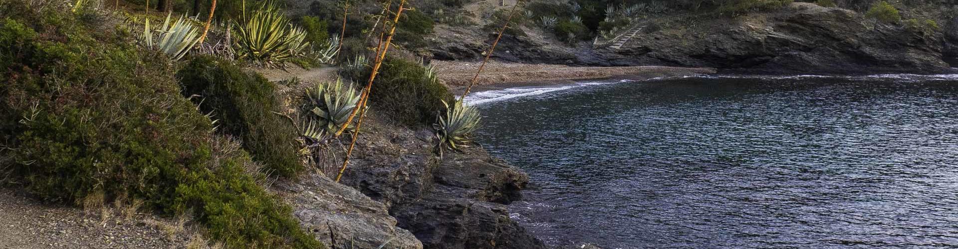
We will start the route in the Cala de Calis next to the old El Bulli restaurant heading in the direction of Cala Montjoi. At the end of the cove, we take a track by the side of the dry stone walls of old and now abandoned terraces, to Punta de la Ferrera. Between Punta de la Ferrera and Cala de Calitjàs we will follow a small footpath, next to the cliffs lying close to the sea, either side of which there are some invasive plants such as prickly pear, agave cactus and balsam.
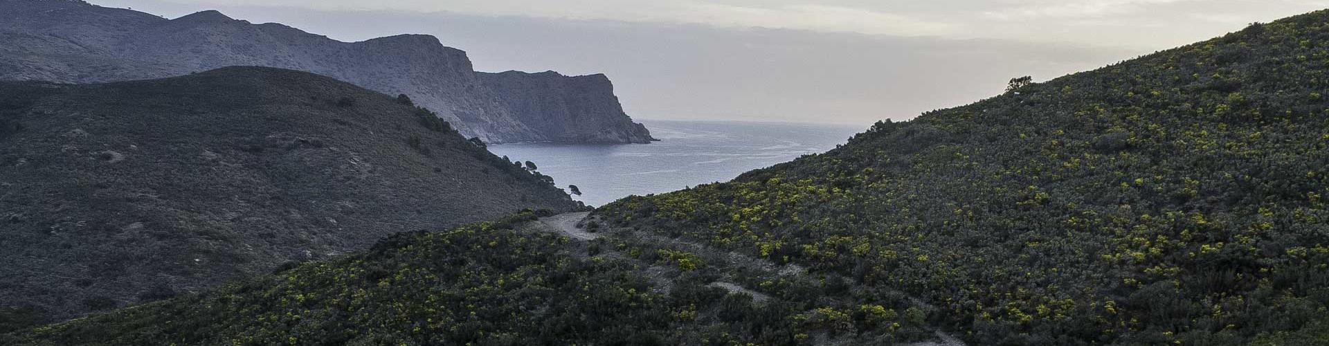
We will follow this small footpath overlooking the sea to Cala Pelosa where, a little further on, we begin to climb the steep southern slope of the Cap de Norfeu, with breathtaking views of the cliffs surrounding the cape. Once we reach the top of the hill, we will descend gently towards Cala Jóncols, which gives spectacular views of Cala Canadell and the winding coastline of this part of the Cap de Creus.
In the beautiful Cala Jóncols, we can take the opportunity to have a brief rest and enjoy the surroundings and before climbing a long, steep path flanked by dry stone walls, which takes us to the foothills of Puig d'en Manyana, the highest point on this route.
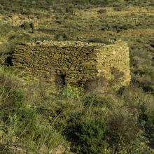
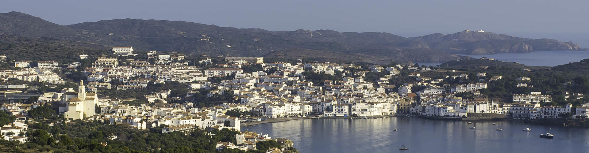
Still on the same track, the first panoramic views to the small town of Cadaqués will soon start to appear. In the descent to Cadaqués we will see old dry stone walls, vineyard huts, now abandoned, and we will have views of the hermitage of Sant Sebastià and Cap de Creus.
Tips
ROUTE
- Combines pieces of track and footpaths.
- Marked with red and white (GR) and red and green painted markings.
- There are steep stretches from Cala Pelosa to the Cap de Norfeu pass and from Cala Jóncols to the Puig d'en Manyana crossing.
- The trail that goes over the Punta de la Ferrera is barely marked.
WATER
- Bring water with you. In summer you can buy water or soft drinks in the Bar/Restaurant at Cala Pelosa.
PRECAUTIONS
- Take particular care on the path that goes around the Punta de la Ferrera. It is very close to the cliff. Watch the children.
WEATHER
- Avoid cold and windy days. The Tramuntana blows even stronger on the ridges.
- If there is mist or low clouds, the views will be impaired.
- In summer, be very careful in the sun. Wear sun protection and avoid the middle hours of the day. There is no shade.
EQUIPMENT
- Protective clothing against the wind.
- Sun protection on summer days: sunglasses, cap and sunscreen.
- Binoculars to see birds and the distant landscape.
- Camera for the landscape.
OTHER NOTES
- At Cala Pelosa you will find some tables and benches to sit at. There is also a Bar/Restaurant.