Introduction
Discovering the old farm houses.
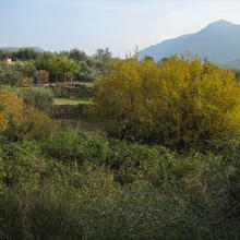
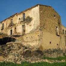
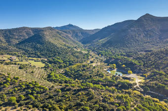
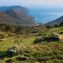
In the shadow of Bufalaranya castle, a handful of farmhouses shaped these sun-drenched slopes of the Rodes mountain range. This route runs along the bottom of the Serrat de Can Berta valley, around the Riera de la Trencada. Mas d'en Berta, Mas Ponac, Mas Favar (in ruins), Mas Palou (converted into a hotel), Can Pairet (inhabited) are the properties where nature still lives side-by-side with farming.
We recommend the Local Natura App to do this route. Download it for free here:
Apple store Google Play
-
TypologyTime Circular
-
DifficultyEasy
-
Duration2 hours
-
Slope90.00 meters
-
Distance4.40 km
-
ThemeFlora and faunaEnvironment
-
ActivityBy foot
-
Rating
Slope graph

Description
Discovering the old country houses.
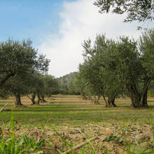
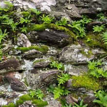
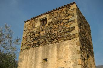
The route starts at the Mas Palou, restored and converted into a hotel-restaurant. A grove of stone pines is the starting point of the footpath that gently climbs between banks of rust-coloured stones, schist with a high iron content. Scrubland and olive groves will continue up to the Torre del Moro. When crossing the Rec de la Torreta (an irrigation ditch), from under the leafy undergrowth a twittering blackbird emerges. In this shady corner, where the periwinkles and ferns grow in the shade of the willows, we can identify the footprints of the wildboar and foxes in the mudbanks where they go to drink and wallow.
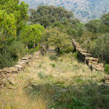
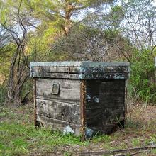
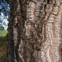
We now leave a large drover’s road where cork oaks, heather and rock roses form the acid-loving Mediterranean vegetation. The view from this point allows us to see just above the ruins of Bufalaranya castle. We follow the drover’s road downhill to a track, which we take to the left. We will arrive at some old terraces where some stone pine trees grow quite high: their size speaks of the years when nothing has been cultivated here. Covered with ivy and brambles, we will discover the ancient walls of Mas Ponac. Dotted about the vicinity are some abandoned hives that once produced the dark heather honey. We head towards the pine grove mixed with cork and pendunculate oaks until the track that leads to Can Berta. This large farmhouse, now in ruins, gives its name to the mountain range above.
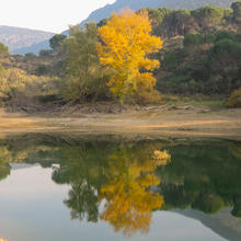
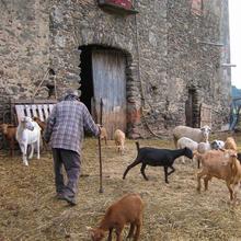
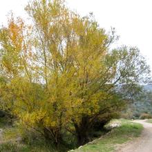
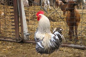
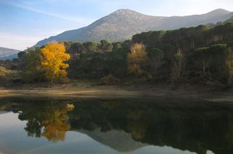
We descend until we cross the course of the Riera de la Trencada. Rushes and reeds crowd the banks of the slow-moving river. Chaste trees and tamarind also grow here and there, alternating with willows and poplars. We turn left by a narrow and unheralded footpath used by the animals that drink at the Ponac pond. This is the largest source of fresh water on the Cap de Creus, formed after the abandonment of an old sandpit. We follow the water course down to Can Pairet where Josep looks after the flock of sheep and goats that graze around and about.
Tips
ROUTE
- The path has no pronounced slopes.
- Throughout the walk, there are stony sections of track and footpaths.
- At 1.1 km from the beginning of the route, there is a notice indicating a shortcut. You can go down through a ravine in order to return to the beginning.
WATER
- Take water with you. There are no drinking water sources on the route.
PRECAUTIONS
- Care must be taken not to touch the electrified fencing that encloses some olive groves.
WEATHER
- In summer avoid the hours of maximum sunshine. Use sunscreen.
- In winter, on days when the Tramuntana is blowing, you must wear appropriate clothing.
TERRAIN
- Wear footwear suitable for stony ground.
EQUIPMENT
- Sunglasses, binoculars, camera.
OTHER NOTES
- At Mas Palou, where you will leave your car, there is a bar and restaurant.
- Along nearly the whole of the route, you will see signs and red arrow marks that you do not have to follow.


