Introduction
We recommend the Local Natura App to do this route. Download it for free here:
Apple store Google Play-
TypologyLinear
-
DifficultyEasy
-
Duration3 hours 30 minutes
-
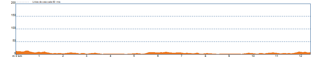
Slope15.00 meters
-
Distance13.00 km
-
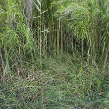
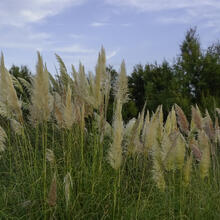
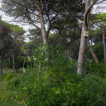
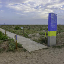
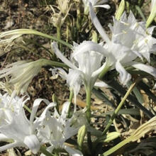
ThemeFlora and faunaEnvironmentLandscapingBeaches and coves
-
ActivityBy footBy bike
-
Rating
Slope graph
Save the route
What to see in: R1. CAP A LES PLATGES DE VILADECANS
Es mostren 1 - 17 de 17


What to see in: R1. CAP A LES PLATGES DE VILADECANS
Es mostren 1 - 10 de 10


What to do in: R1. CAP A LES PLATGES DE VILADECANS
Es mostren 1 - 10 de 10