Introduction
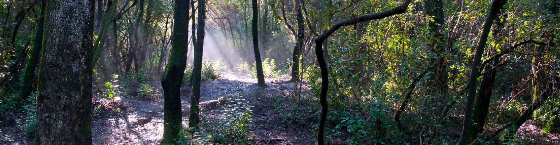
Shaded slopes, crests and valleys This comprehensive route begins at the Parc Rural de Torre Negra, before heading into the Parc de Collserola via Can Borrell. From this point, a shady and cosy, though demanding, initial stretch gives way after crossing the Rabassada hills to another easier and more popular section featuring architectural heritage sites, leading on to Sant Medir and then back to the starting point, along the banks of the Riera de Sant Medir.
We recommend the Local Natura App to do this route. Download it for free here:
Apple store Google Play-
TypologyAnti-clockwise circular
-
DifficultyMedian
-
Duration2 hours 10 minutes
-
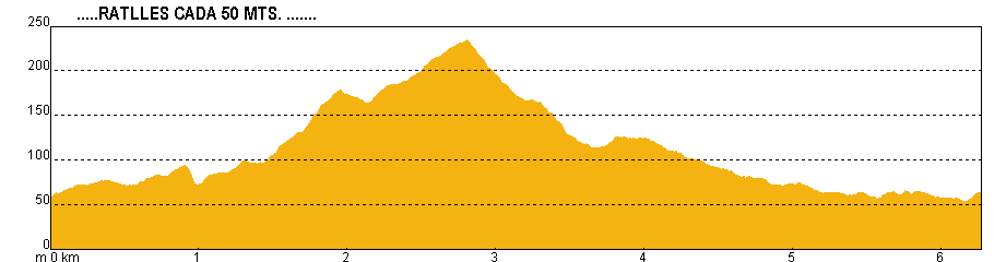
Slope195.00 meters
-
Distance6.20 km
-
ThemeFlora and faunaArchitecture and environment
-
ActivityBy foot
-
Rating
Slope graph
Description
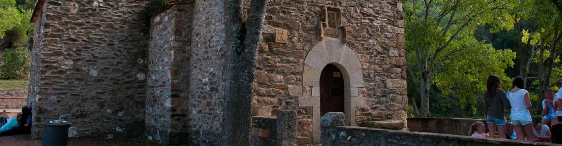
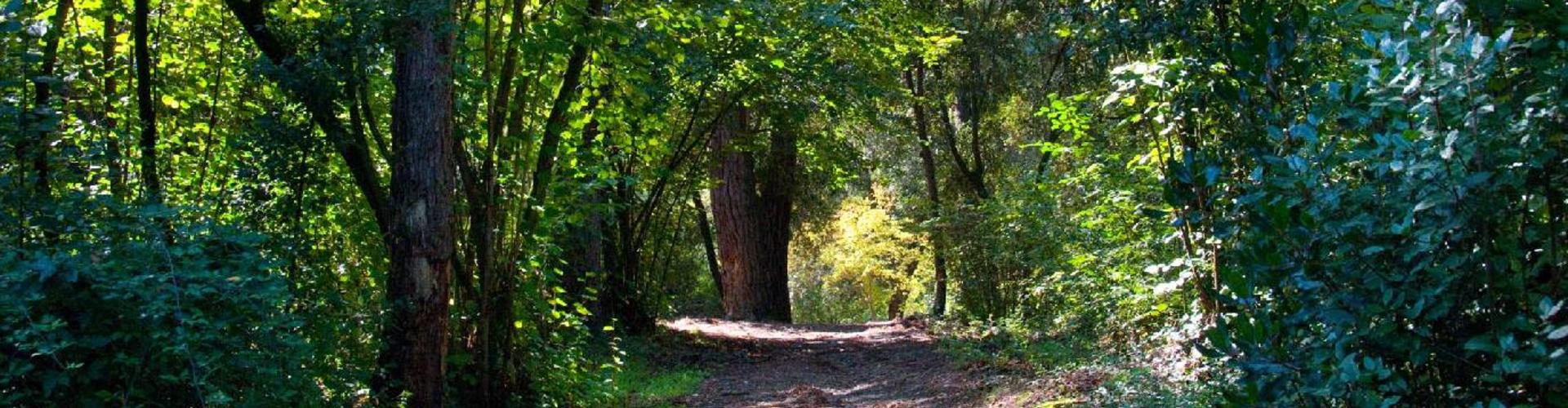
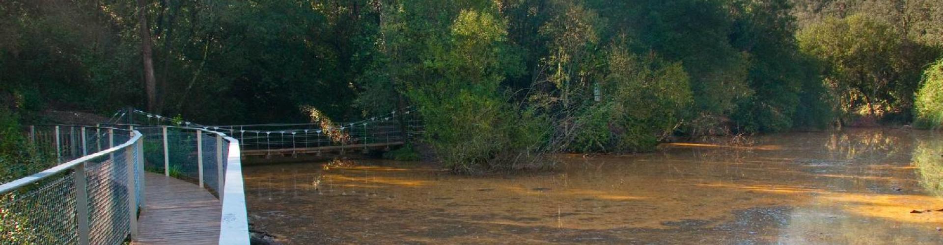
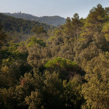
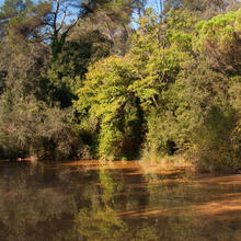
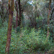
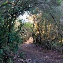
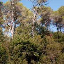
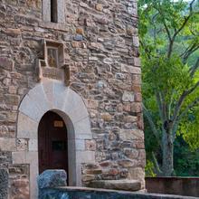
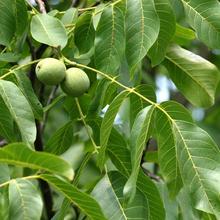
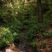
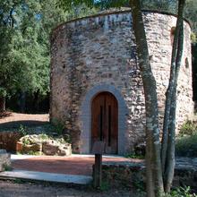
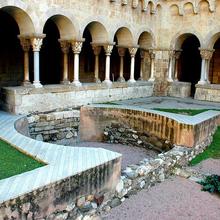
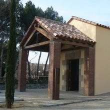
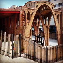
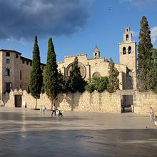
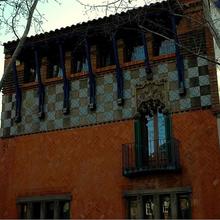
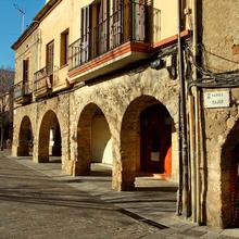
Shaded slopes, crests and valleys This route can be started at the roundabout at Forat d'en Bocàs, at the entrance to the Parc Rural de Torre Negra, following the path as far as Can Borrell, via the historic pine tree known as the Pi d'en Xandri. You could otherwise drive as far as Can Borrell via Cerdanyola. If you are leaving from Sant Cugat, you should add another hour to your journey time. One of the most traditional outings leading into the Parc de Collserola is to follow the watercourse of the Riera de Sant Medir along the Vall de Gausac, as far as the hermitage of the same name. This also offers the added benefit of crossing through the Parc Rural de Torre Negra, with glimpses of the agricultural landscapes bordering the town and the massif, while also taking in such local landmarks as the Pi d'en Xandri and the old fortress of Torre Negra. From Can Borrell, though, we suggest heading to the Hermitage of Sant Medir along pathways that plunge through the undergrowth of holm oaks which are now beginning to make their mark. Surrounded by viburnum, heather and shrubs, clumped together in the shaded and damp corners, but more thinly spread along the crests and sunny slopes. The route passes by a distinctive small lake, before climbing up and over the crest of the Rabassada hills, creating the impression of having clambered over the very heart of the massif. Here the route then heads back down along a path in rather poor condition, dropping steeply towards the Hermitage of Sant Medir, where you can take a breather at the fountain alongside. The track then continues gently downhill along the popular Camí de Sant Medir as far as Sant Cugat, on the banks of the watercourse, taking in the holm oaks and the colours of the plane trees in autumn along some sections, as well as the oak trees which dot the woodland. One final and unmissable stop is the Hermitage of Sant Adjutori (5 min) and the Ancient Iberian Oven alongside, linked by a pretty track lined with hazelnut trees.
Tips
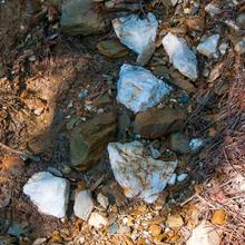
LAYOUT You can begin the route at the Forat d'en Bocàs roundabout, by taking the footpath to Can Borrell. (The two legs will take a good hour more). We preferred here to start at Can Borrell. To reach it by car, enter via Cerdanyola. There are two clearly distinct parts. An initial section along the pretty, narrow pathways leading to Sant Medir, and a second section along a comfortable track leading back to the starting point. At the siding leading to the Cal Castillo Zoo you will need to decide whether to take this route or head down to the reservoir dam. If you turn off here there is no need to retrace your steps, as you can join up with the track beyond the zoo. The climb up the shaded side of the Rabassada hills is steep and fairly lengthy. Don't worry. Make sure not to miss out on a visit to Sant Adjutori and the Ancient Iberian Oven. The park is signposted, with tracks leading back to Can Borrell. WATER There is a water fountain at Sant Medir. PRECAUCIONS You are within the Parc de Collserola here, and must comply with the instructions for visitors. Follow the directions around the Can Borrell reservoir. Avoid trespassing, as the route runs alongside a number of farmhouses. Tricky descent to Sant Medir. Path in poor condition. WEATHER Wear clothing appropriate for the season. Avoid this route after rainfall. TERRAIN Although it is a simple walk, care is needed on both the ascents and descents given the state of the tracks. We have therefore rated it as moderate difficulty. Sturdy footwear. Rocky terrain where it is easy to slip. EQUIPMENT Poles will be useful to help keep you steady on the descent to Sant Medir, and provide support on the climbs. Photographic equipment. OTHER AMENITIES Make sure not to miss out on the sites of the Sant Adjutori and the Ancient Iberian Oven. There are picnic tables in Sant Medir. A number of the farmhouses along the route have a restaurant service.


Si despres et quedas a dinar... flipas