Introduction
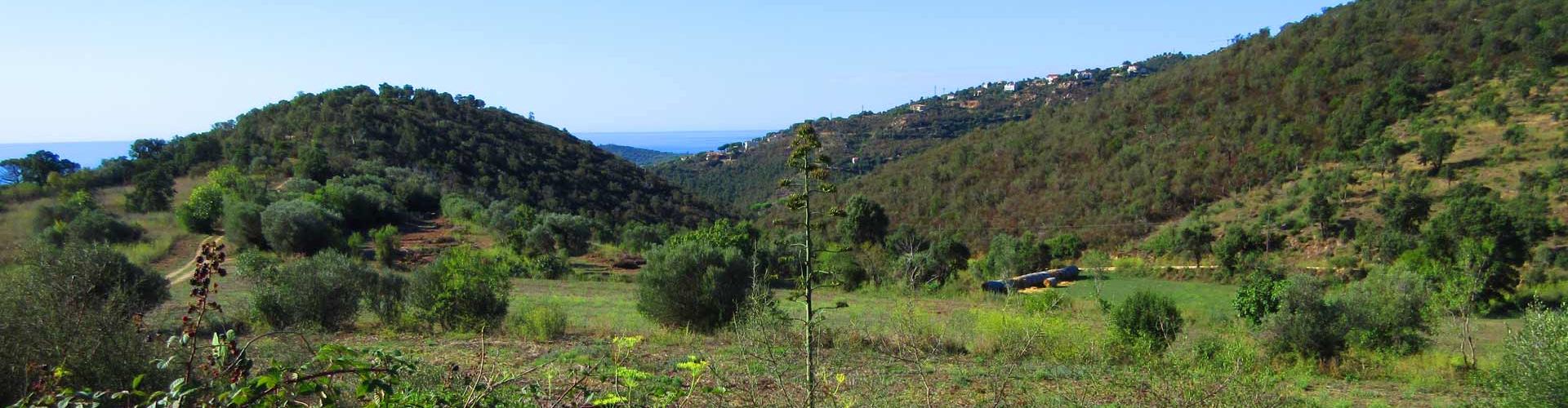
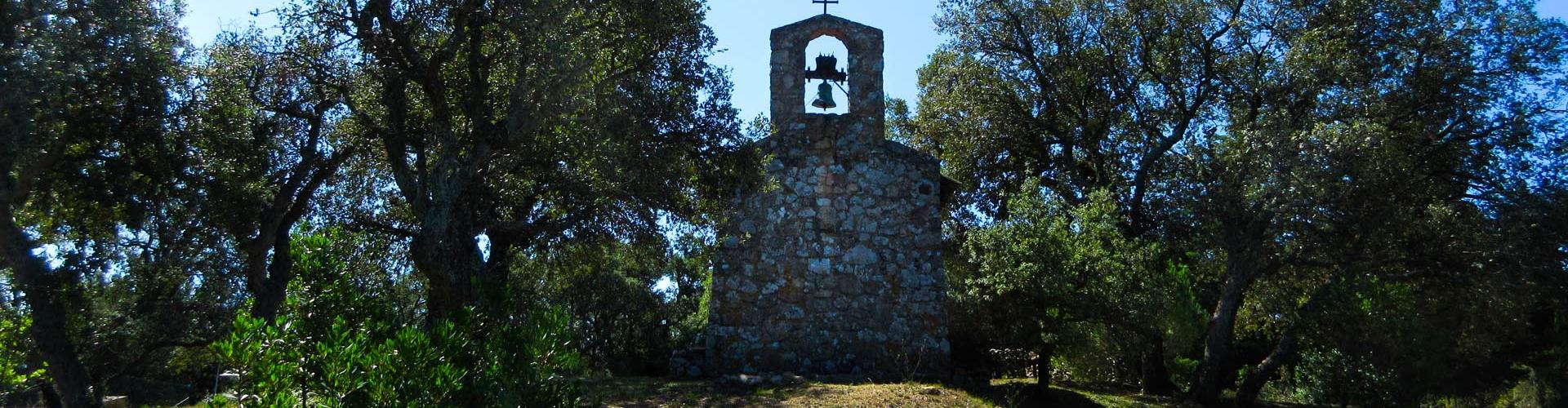
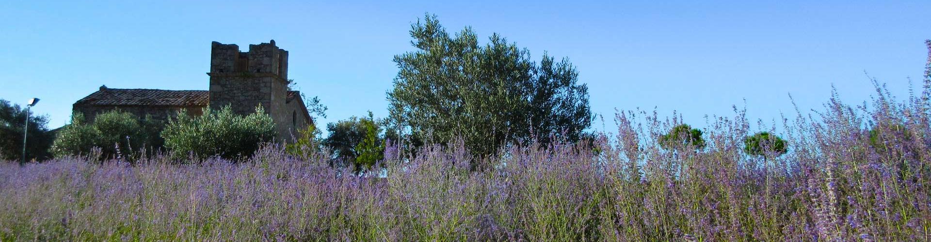
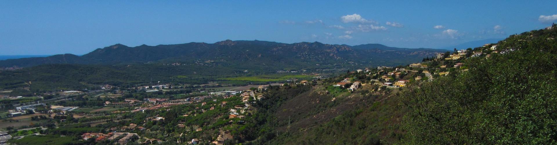
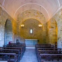
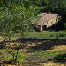
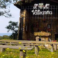
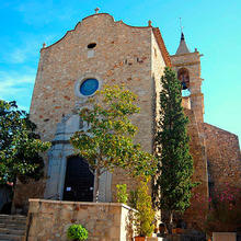
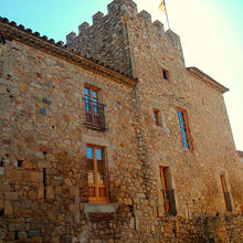
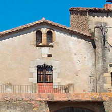
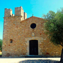
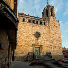
Itinerary that follows Platja d'Aro’s most remote settlement origins. We will visit Fanals d'Amunt and Santa Maria de Fanals churhes and we will hike along the Puig del Mas Nou from where we will enjoy excellent views of the interior mountains of the Gavarres and the whole coast of Vall d’Aro.
We recommend the Local Natura App to do this route. Download it for free here:
Apple store Google Play-
TypologyAnti-clockwise circular
-
DifficultyMedian
-
Duration3 hours 20 minutes
-
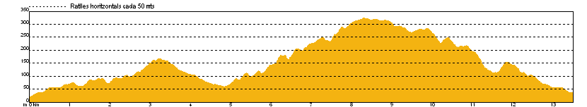
Slope524.00 meters
-
Distance13.40 km
-
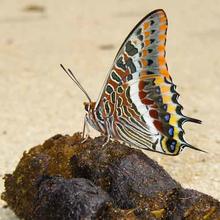
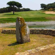
ThemeFlora and faunaArchitecture and environmentLandscaping
-
ActivityBy foot
-
Rating
Slope graph
Description
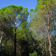
A trail that allows us to capture the profound changes of land usage in the Costa Brava in the last decades. The abandonment of agricultural and forestry uses as they have been changed to residential, tourist and leisure uses with all the landscape changes that they entail. Long itinerary, with high steepness and road sections.
Tips
TRAÇAT
- Ruta llarga i amb desnivell.
- Podeu deixar el cotxe a Santa Maria de Fenals. A la vora de la C-31.
- Atenció, ruta que discorre, en una bona part del traçat, per vials asfaltats.
AIGUA
- La font del Gat no sempre raja, millor portar aigua.
PRECAUCIONS
- Ruta llarga. Valoreu el vostre estat físic.
METEO
- La primavera és la millor època.
- Evitar els dies ventosos.
- Evitar els dies de molta insolació i calor.
- Zona amb alt risc d'incendi, mirar el risc a: http://www.gencat.cat/medinatural/incendis/plaalfa/
MATERIAL
- Calçat còmode.
- Protecció solar pels dies calorosos. Gorra, crema i ulleres de sol.
- Uns pals de tresc ens poden ajudar durant les caminades llargues.
ALTRES EQUIPAMENTS
- A la font del Gat hi ha taula i bancs per fer pícnic.
- A l'aparcament on s'inicia i es finalitza l'itinerari hi ha lavabos públics.
Save the route
What to see in: Fanals Itinerary
Es mostren 1 - 10 de 10


What to see in: Fanals Itinerary
Es mostren 1 - 10 de 105
What to do in: Fanals Itinerary
Es mostren 1 - 10 de 23