Introduction
Surrounding the Vall de Montjoi.
This round trip through the Vall de Montjoi invites us to discover the wild and lonely landscape of these lands and their cultural heritage. Below the small plain of the valley to its head, on the ridge of the Puig Alt, we cross a terraced landscape, formerly cultivated and now blurred by the bushes and dotted with beautiful cork oaks. Above the ridge, in addition to enjoying the views, we will discover evidence of the megalithic age.
We recommend the Local Natura App to do this route. Download it for free here:
Apple store Google Play-
TypologyTime Circular
-
DifficultyMedian
-
Duration3 hours 40 minutes
-
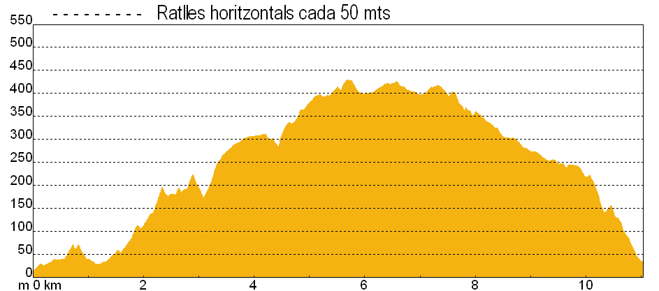
Slope605.00 meters
-
Distance10.60 km
-
ThemeFlora and faunaEnvironmentLandscaping
-
ActivityBy foot
-
Rating
Slope graph
Description
Going around the Vall de Montjoi.
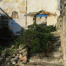
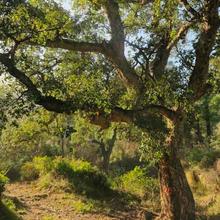
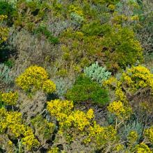
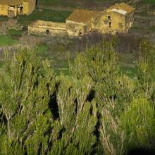
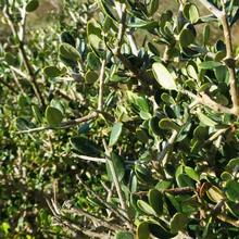
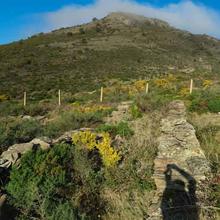
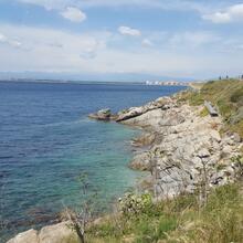
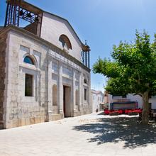
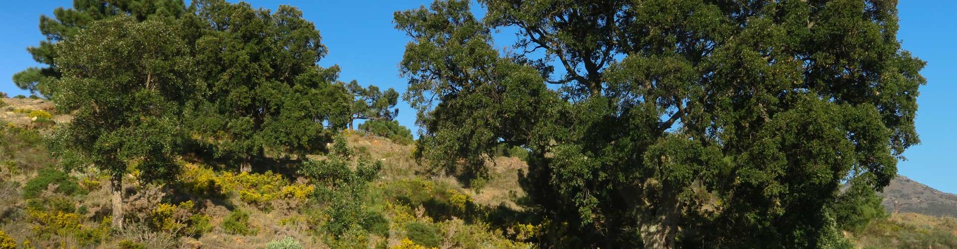
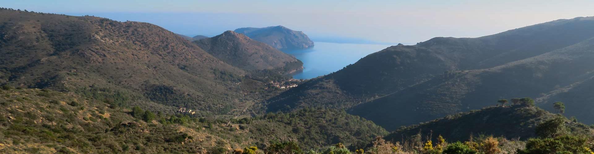
The route begins in the Vall de Montjoi, a place populated since ancient times, which is particularly interesting in terms of its heritage and landscape. Next, we climb the d'en Fragam pass by the old """"de la Costa"""" path. From this point we take a path that leads to the Pla de les Gates within the valley, a route that allows us to enjoy an area full of the banks and small terraces of old vineyards, now abandoned and covered with an extensive scrubland of rock roses and mastic trees with the occasional cork oak and pine; a rarely seen view of this well-known valley.
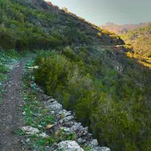
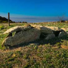
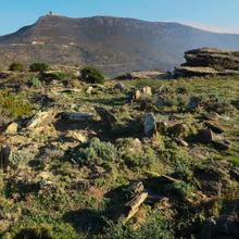
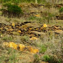
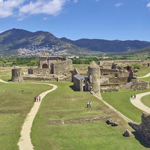
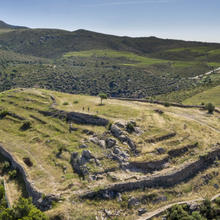
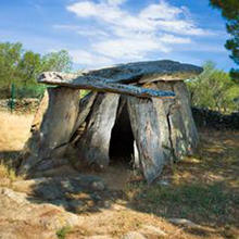
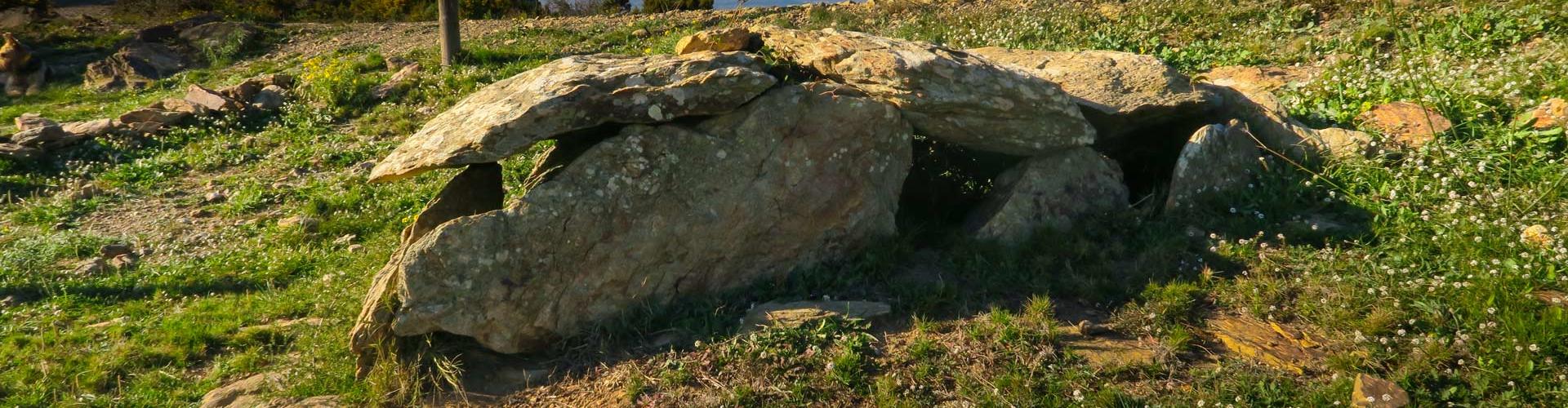
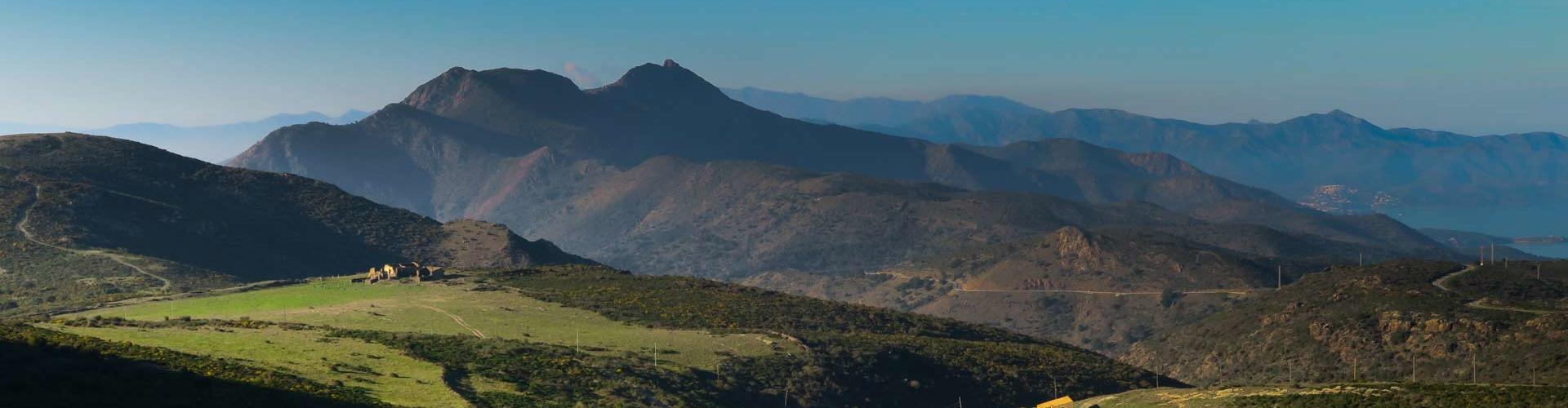
In the upper part, pasture meadows line the ridge, where a track built during the 20th century takes us to the shady slope of the mountain range, opening up new vistas to the north and at the same time creates a passage through the hills where we find interesting elements from the Neolithic period of Roses. Various remains can be seen here: from the oldest megalithic tombs of the area to a Bronze Age cremation necropolis next to a medieval rural church, as well as evidence of the area being heavily populated in the past. It should be borne in mind that interpreting the remains requires a considerable imaginative effort. The Tomb of the General is the most rewarding example to visit and, although not all original, it is the most well conserved cist in the of Montjoi necropolis.
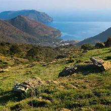
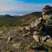
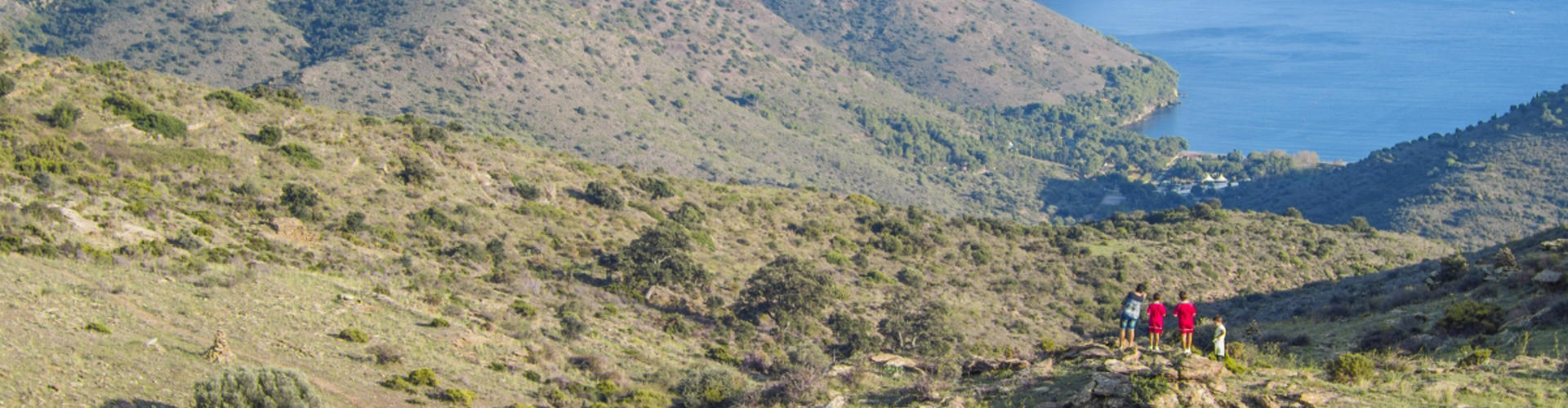
This highest part of the area is where old watchtowers can be found and from where there are unbeatable panoramic views over the bay of Roses, the bay of Port de la Selva and the Cap Norfeu.
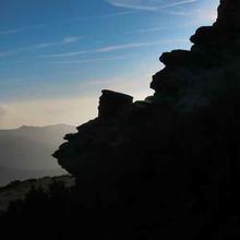
From here it only remains for us to descend between the Jóncols and the Montjoi valleys, still heading towards Cap de Norfeu, and allow ourselves to be seduced by this hard terrain, punished by wind, fire and the activities of man, which have all added to give it a personality all of its own.
Tips
ROUTE
- If you do the walk with your phone off-line, you will save battery power.
- There are explanatory signposts and QR codes at points with megalithic remains. You will have to activate data at these points.
- At the beginning and above the Pla de les Gates there are panels that explain the route.
- Long road with a continuous climb up Fragam hill and up to the Pla de les Gates Pass to the Puig Alt crest.
- The road is marked with beacons and R3 signs.
- At the Seniqueda farmstead, make sure you follow the track carefully, as the path is not obvious.
- There is no shade or sources of drinking water.
- It is a beautiful route, with spectacular views of a very characterful landscape. The megalithic elements are an additional attraction but, if you take the walk just for this reason, you may be a little disappointed.
WATER
- There are no water sources.
PRECAUTIONS
- Carry a spare battery. If don’t have one be careful and save power as much as possible. Just use a phone to navigate.
- You should be used to walking.
- Do not do the walk on hot summer days.
- Take care in the ruins of the Mas de Montjoi de Baix.
- Bring food and schedule a long rest stop around the Puig Alt.
- Depending on the day, take something to protect you from the wind (a windproof coat/jacket), and from the sun (cap, cream and sunglasses).
WEATHER
- Avoid hot days. There is no shade.
- Avoid foggy days when visibility is poor.
- Avoid windy days. The Tramuntana can blow very strongly.
- Ensure that the weather forecast is good for the whole day.
TERRAIN
- In general the footpaths and tracks are easy.
- Take care on Puig Alt and when coming down from Mas de Seniqueda.
EQUIPMENT
- Comfortable and sturdy footwear.
- Camera and binoculars.
- Guides to plants and birds, if you are a naturalist.
- A map of the area will help to discover your location better.