Introduction
Between the Brugent River and the “Carrilet”
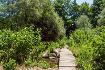
An itinerary that has two very different parts to it. The first one brings us to the riverbanks of the Brugent river and its surroundings in a riverside environment, until it meets the riverbed with the Ter river.
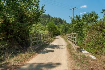
The second half of the route goes through the green path (via verda) of the old path of the track between Olot and Girona, in a dryer forestall environment, surrounded by forests and protected by its shadows.
We recommend the Local Natura App to do this route. Download it for free here:
Apple store Google Play

-
TypologyTime Circular
-
DifficultyEasy
-
Duration2 hours 50 minutes
-
Slope121.00 meters
-
Distance8.70 km
-
ThemeFlora and faunaEnvironment
-
ActivityBy foot
-
Rating
Slope graph

Description
Between the Brugent River and the “Carrilet”
This path links two itinerary proposals. The first one is the one on the banks of the Brugent River and the other one is across the stretch of lane that passes through the municipality of Amer.
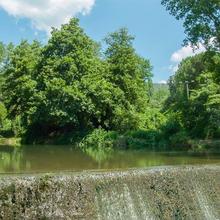
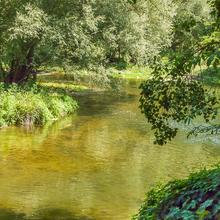
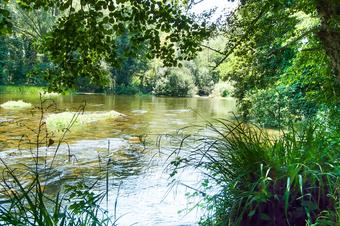
The itinerary will initially take us between riverside forests and hazelnut crops along the banks of the Brugent River, we can enjoy the cool atmosphere, the fishing grounds and the views, in many sections where the stream is calm.
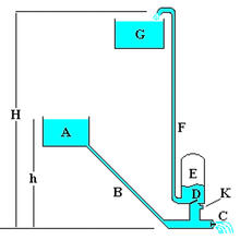
We will see different elements related to the use of water, such as the Solivent lock, which allows it to be channeled and transported to remote crops, and the Can Ter pump, among others.
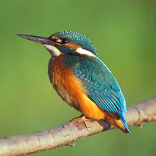
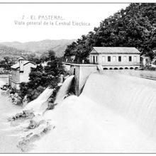
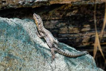
Following the stream we will reach the confluence between the Brugent and Ter Rivers, where the water currents have different speeds, and where there is the Pasteral water reservoir nearby. An apparently impenetrable site from the side that we will go through, since water and land tend to distinguish, creating thick moist soil; rich in amphibians and birds.
Leaving River Ter's edge the atmosphere changes a lot. We will look for the greenway (via verda) of the old train path between Sant Feliu de Guíxols and Olot, now converted into green (verda) for leisure use.
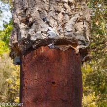
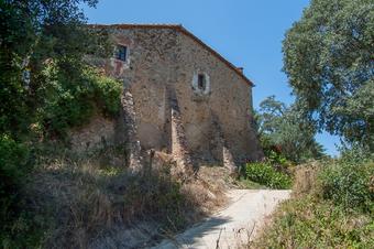
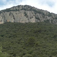
This second part of the route is drier and forester. We will pass between oaks, holm oaks and cork oaks as well as a series of houses that ‘dot’ the track of the path. Little by little, along a slight rise, we will approach Amer and we will see panoramic views of the urban core and its surroundings.
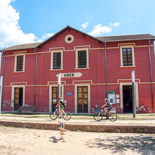
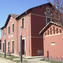
Finally, we will arrive to the station of the track from where we have begun.
Tips
TRAÇAT
- Itinerari planer.
AIGUA
- No trobarem fonts, cal portar aigua
PRECAUCIONS
- Haurem de creuar la carretera una vegada dins el nucli urbà, i l'altre començant el tram del carrilet, allà els cotxes van més ràpid.
METEO
- El camí ofereix ombres però hi ha parts en què estem força exposats al sol.
- Eviteu les hores més fortes de calor, el tram de carrilet no és tant fresc com el de la vora del riu.
TERRENY
- Camins i pista de terra majoritàriament.
MATERIAL
- Cal portar calçat còmode.
- Es recomana portar màquina de fotografiar.
- Uns prismàtics per poder veure ocells.
ALTRES EQUIPAMENTS
- L'edifici de l'estació del carrilet és també Centre d'Informació Turístic.
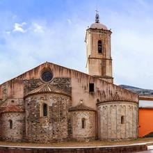
- El monestir de Santa Maria dins del nucli urbà.
- Per saber més coses sobre el suro i la seva història en relació a l'activitat humana, podeu visitar el Museu del Suro de Palafrugell.


