Introduction
Old times at Sobirans
The itinerary surrounds Sobiran’s basin of the stream along its header, through fountains, farmhouses and a forest area of great ecological and landscape wealth, where we can find a diversity of habitats.
The basin of Sobiran’s stream, which so many joys and so much cruelty has brought to its inhabitants, shows us here the birthplace of its birth and the history that its forests hide. Reading the points of interest that this route collects, you will learn many endemic words of the inhabitants of Arenys and the Maresme.
We recommend the Local Natura App to do this route. Download it for free here:
Apple store Google Play


-
TypologyAnti-clockwise circular
-
DifficultyMedian
-
Duration2 hours 50 minutes
-
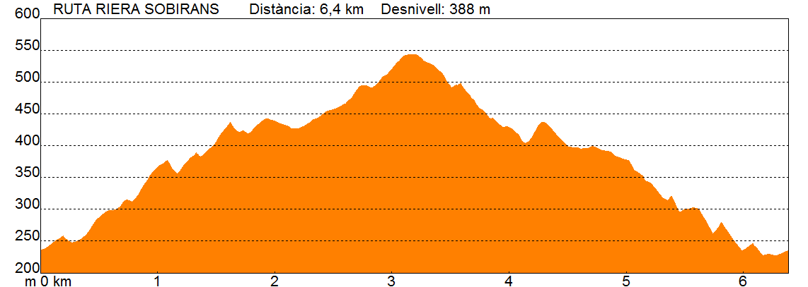
Slope388.00 meters
-
Distance6.40 km
-
ThemeFlora and faunaEnvironmentGeologia
-
ActivityBy footBy bike
-
Rating
Slope graph
Description
Old times at Sobirans
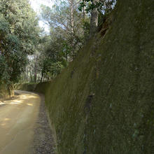
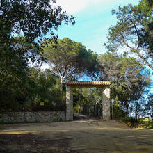
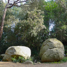
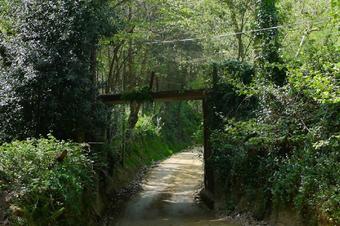
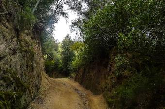
The itinerary surrounds the basin of the stream of sovereigns, the famous stream of Arenys, by its head. During the ascent, we go along one of the few cultivated areas that Can Framis still conserves on this side of the valley. The path is steep and craved, it has been dug naturally on the terroir, which is how here it is called the fresh granite that begins to break down.
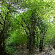
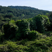
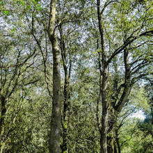
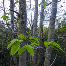
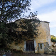
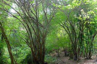
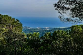
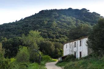
From time to time, the views of the valley open along the way, and we can observe small landscape mosaics. The riverside forest follows the torrents, the runes of the farmhouses stand out among the vegetation, in the highest zones we see woods dominated by the holm oak, there are also chestnut trees, while in the most exposed areas, pines are found and some stain of corks.
The route follows the back of the Three Hills (Tres Turons), in the Parc del Montnegre and El Corredor, which includes the Vilanegra hill (531 m), the hill of the Middle (Turó del Mig) (555 m) and the Hill of the Montalt (596 m). The route shows a forest area of great ecological and landscape richness, where we can find a great diversity of habitats.
Going back and downhill, once again, this formerly exploited and inhabited valley has been discovered, where it had come to make coal, and now it has a dense forest mass where the biological succession returns the vegetation to its original state. Reading the points of interest that collects this route you will know a handful of words of the “arenyenca” grammar, such as aiguaroja, bagueny, fondo, snake eye(ull de serp), terroir (terrer). We thank Gaspar Casals and Ariadna Abadal for their collaboration and support on this route.
Tips
PATH
- The itinerary goes along an area with low GPS coverage, download the off-line route at home to be safer
- In the first part of the route there is a remarkable climb slope
- The final part has strong downwards hills, be careful not to slip with the sand.
WATER
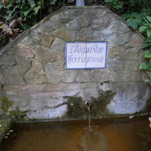
- The “AiguaRoja” fountain does not run all year, bring water in your backpack.
WEATHER
- The route passes through forest areas, there is a shadow for most of the route.
- Avoid walking it raining, you can slip very easily.
LAND
- It is a terrain where it is easy to slide, watch out for the downwards hills, they are pretty sharp.
- Bring comfortable footwear with a durable sole.
MATERIAL
- Camera and binoculars for views from the highest points.


