Introduction
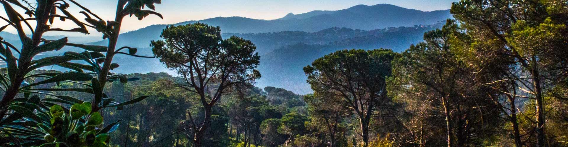
Among Mareseme’s coastal territory and Vallès’ plain surface
For the variety of environments and places that this path takes us through, we are facing another jewel of the natural heritage of the town of Argentona.
We will box-walk between stone walls along Road Parpers as we learn its history, we will walk through open pine forests, visit hidden fountains and walk through lonely gullies, only accompanied by birdsongs. Enjoy...
We recommend the Local Natura App to do this route. Download it for free here:
Apple store Google Play-
TypologyTime Circular
-
DifficultyEasy
-
Duration2 hours 41 minutes
-
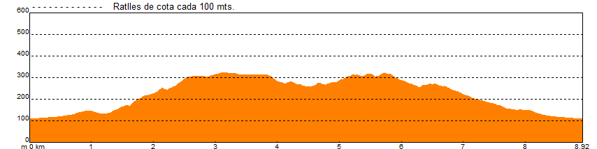
Slope308.00 meters
-
Distance8.80 km
-
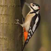
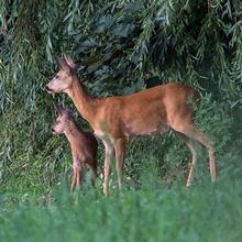
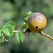
ThemeFlora and faunaEnvironment
-
ActivityBy foot
-
Rating
Slope graph
Description
Among Mareseme’s coastal territory and Vallès’ plain surface
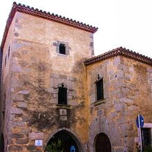
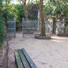
The "Road Parpers’ Route" (Ruta de la via de Parpers) has its starting point in the neighbourhood of “Can Pins”, near “Can Freginals” and “Can Navas”, now known as “Bell Racó”, the last one, is a majestic house that currently is used for events and celebrations.
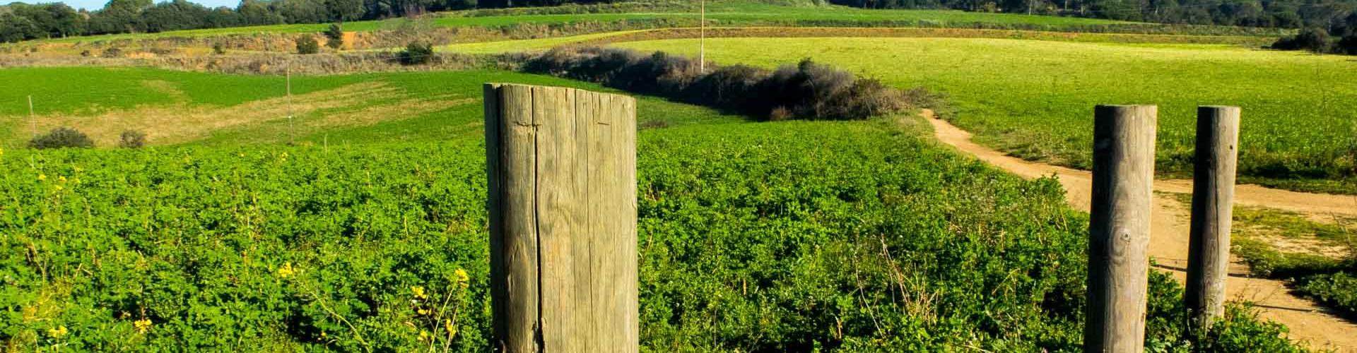
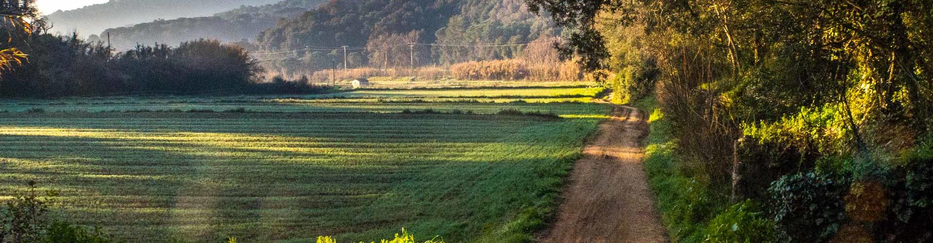
At the beginning of the route, we will walk in parallel to the “Riudameia” stream for a few hundred meters along a track, which we will leave to go into the “fondo de la Gallega” before reaching the “Road Parpers”, which without loss will lead us to the neck of the same name. We will see the remains of this ancient communication route between Maresme’s coastal territory and Vallès’ plain surface and we will continue walking flanked by stone walls on one side and the other side will be gravel.
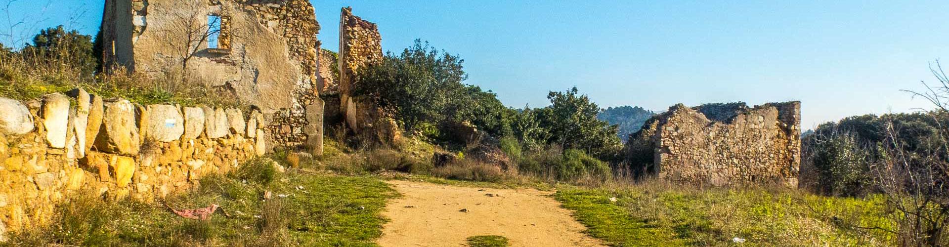
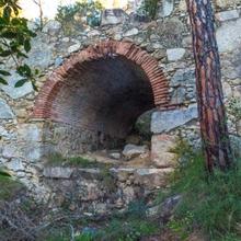
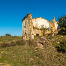
Extreme caution when crossing the “Parpers Road” reaching the neck and the we will take a small path that will accompany us entertained between pine groves to till “ca l’Espinal”, farmhouse, now in ruins, which dominated both sides of the ridge coast.
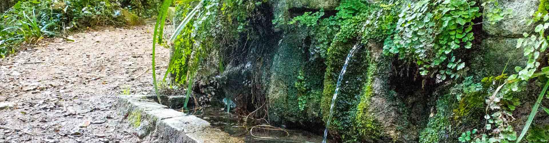
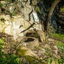
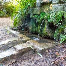
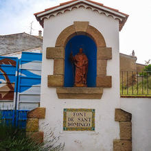
From this point, we will follow for a few meters a small track, but soon we will leave it to take a series of entertaining tracks (watch out for the track in the app), which will lead us to the “Llorer” fountain first, and then to the “Àlbers d’en Java” fountain afterwards.
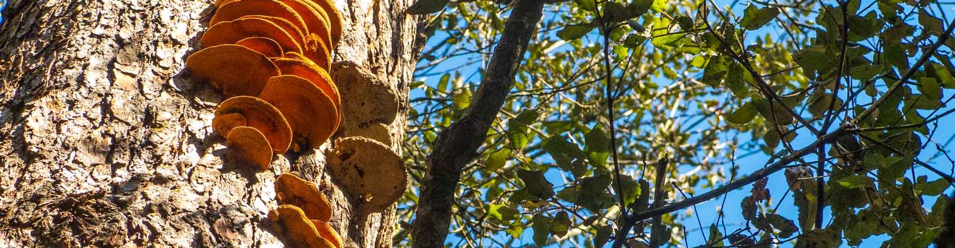
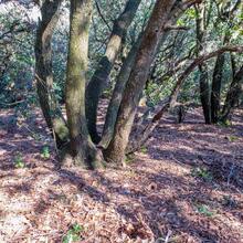
Once visited the “àlbers d’en Javà” fountain, where we can refresh ourselves and drink water, we will follow for a few metres the “xaragall de l’Espinal” to abandon it, turning right uphill. The trails on this section of the route are varied in the atmosphere. Despite the predominance of the holm oak forest, we can see some alternation with oaks and pines forests.
Now continue declining towards the “xaragall de Can Pins”, which will accompany us nicely, back up the neighbourhood of the same name, and starting point.
Tips
PATH
- The route runs along narrow roads, trails and a small sections in streams.
- Some steep downhill sections before the “Llorer” fountain.
WATER
- We will fins water at the “Àlbers d’en Java” fountain.
PRECAUTIONS
- Be careful not to slip on the most steep sections, especially “Ca l’Espinal” and the “Llorer” fountain.
- Short but sloppy rock path within the “xaragall de l’Espinal”
WEATHER
- We do not recommend doing the route with heavy rain, especially crossing the “Xaragall de l’Espinal” an the “Ca Pins” one.
LAND
- Bring suitable footwear for walking on slippery ground in certain downhill sections.
EQUIPMENT
- We recommend bringing a camera.
OTHER FACILITIES
- There will be places to sit down and a table at the “Llorer” fountain.


No és una ruta intuitiva. Camins i desviaments difÃcils de trobar