Introduction
A sample of Ardenya, on a lengthy route.
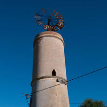
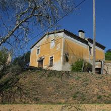
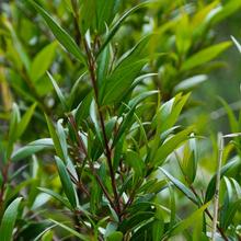
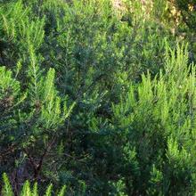
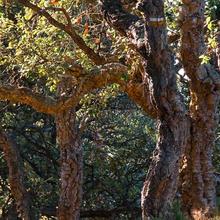
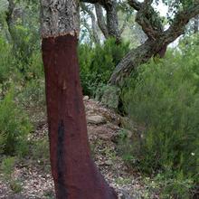
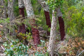
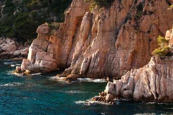
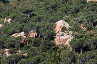
Route 16, designed by the Consell Comarcal of Baix Empordà. On these paths we discover the wonders that the Ardenya massif conceals: spectacular views over the sea, the Ridaura valley, the Southern part of Las Gavarres and the Gironès plain; menhirs from the prehistoric period hidden in the undergrowth; abandoned farmhouses; granite dolmens and rocky castles which give Ardenya its character. But we can also appreciate the exuberant nature that gives it all its colours: cork, ancient pines, holm oaks, laurels and the odd holly bush. These are certainly the most untouched wild surroundings of the Costa Brava.
We recommend the Local Natura App to do this route. Download it for free here:
Apple store Google Play
-
TypologyAnti-clockwise circular
-
DifficultyMedian
-
Duration6 hours 10 minutes
-
Slope680.00 meters
-
Distance19.10 km
-
ThemeFlora and faunaArchitecture and environmentLandscaping
-
ActivityBy foot
-
Rating
Slope graph

Description
A sample of Ardenya, on a lengthy route.
This long route allows us to see the natural and architectural elements that define the Ardenya massif.
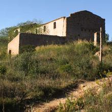
We start the side with the Les Comes stream, in the Mascanada valley. A fertile valley full of farmhouses, with wells and pools where some vegetables still grow. Next we leave the valley to climb up towards the Puig de les Cols mountain range. This mountain range forms an important part of the basin of the Las Comes stream and at the top we can see some nice rock-strewn places.
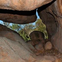
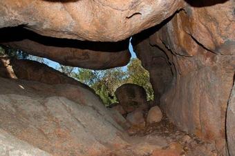
Along an enjoyable upwards path we reach the Coll del Vidre. Before jumping over to the other side, if we turn around, we will have views over Sant Feliu and Puig Gros (antennas). Once we're over the hill, on the other side we will see the granite dolmens called Carcaixells de Dalmau. The Montseny and The Guilleries are in the distance, on the other side of the Selvatana plain.
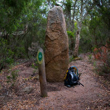
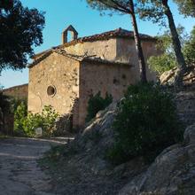
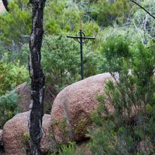
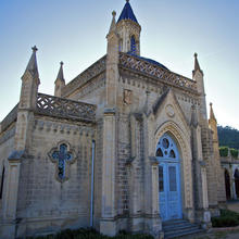
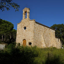
Inside the cork oak grove next to the Coll de l'Escorpí, we reach the Menhir del Terme Gros. Now we could take a short-cut and go back to the left towards the Coll de la Creu de Barraquer. If we carry straight on, we'll be able to visit the ruins of the Sant Baldiri chapel and the Sant Benet del Bosc Chapel.
Again, on our right, we can see some of the valleys that go down to the sea, where laurel trees may be growing. Coming down the Coll de la Mare de Déu, if we fancy earning ourselves some tips we can go to see the Font de les Tres Fonts and the Cova d'en Bosch.
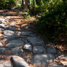
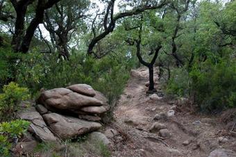
We enter a "Roman" stretch of the path, with paving that serves the purpose of stabilising the base of the sloping sections even today. We reach the Coll de Portes and from here, along the PR, we find another dry holm oak grove, with granite boulders that used to be the cores of the original material that still haven't broken down.
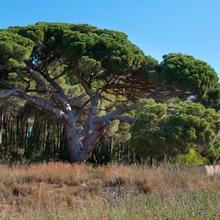
Before crossing the Tossa road, we can take a closer look at an ancient pine, the "Pino de la Higuera" (fig pine). The lower branches are so large they almost touch the floor.
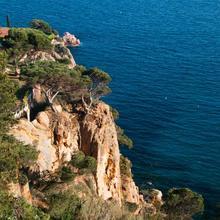
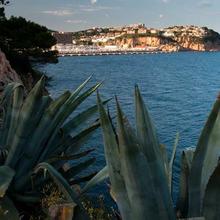
Straight away we pass the "Les Penyes" urbanisation. As the name suggests, we find ourselves on a section of the coast that is 90m above the sea. We can enjoy beautiful views of the coast.
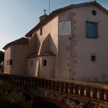
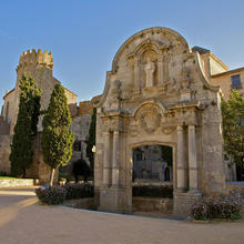
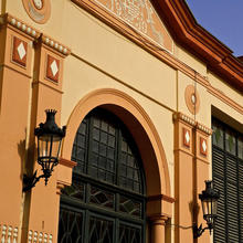
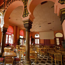
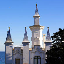
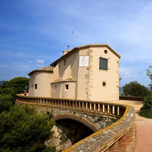
Next, it's worth taking a look inside the Sant Elm chapel, enjoying its lookout point once again to go down to the lookout points next to the sea at the Punta de Garbí. We recommend you check out the Las Modistas lookout point. Now, on the path that runs along by the sea, we enter the village and reach the Collection of Historic Buildings of the Monastery.
Tips
TRAÇAT
ANEU EN COMPTE AMB EL CONSUM DE BATERIES DEL TELÈFON !!! PREVEURE MESURES D’ESTALVI.
- Llarg. De fàcil caminar. Hi ha un tram asfaltat, però majoritàriament camins i corriols.
- Anirem alternant trams de GR92 i trams PR-C 101.
- Trobarem dues dreceres per retallar el recorregut:
- 1. En arribar als "tres camins", seguim la pista principal fins a Sant Benet del Bosc.
- 2. En arribar al Coll de l’Escorpí, girem a l’esquerra per tornar cap el Coll de la Creu d’en Barraquer
- Hi ha trams de pujada i baixa forta, alguns amb pedra fluixa.
AIGUA
- Porteu aigua suficient. El recorregut és llarg i les fonts que trobem acostumen a estar seques.
PRECAUCIONS
- Itinerari llarg. Valoreu la preparació física.
- No us pot faltar ni aigua ni aliments per anar picant i hauríeu de preveure un àpat a mig camí.
METEO
- No sortiu si el dia no és segur. (Ruta llarga)
- És un itinerari incòmode per fer amb pluja o vent.
- Proteu protecció pel sol. (gorra, cremes, ulleres)
TERRENY
- Als corriols s’ha de caminar amb atenció. Si està humit, les pedres rellisquen. Sobretot pujant al Coll del Vidre i baixant del Coll de la Mare de Déu.
- Les pistes estan en bon estat. Alguns trams en pendent s'han espatllat per l'aigua.
MATERIAL
- Calçat resistent, còmode i amb bona sola.
- Els pals de tresc us poden ajudar a caminar i assegurar les baixades. Porteu menjar per anar picant.
- Paravent per protegir-nos del vent o de la pluja.
- Un plànol de la zona ens servirà per situar nos dins el massís.
- Una màquina fotogràfica o de filmar, seran útils per enregistrar les vistes.
ALTRES EQUIPAMENTS
- Trobareu algun plafó de situació general. També algun pal d’indicació de camins, indrets o elements com el Menhir del Terme Gros.
- De tornada Sant Elm i el Conjunt del Monestir, són visites obligades.





Serà necessari que porteu una bateria de recanvi per vostre telf. Es possible que no us aguanti tota la excursió.
Preneu mesures d'estalvi de bateries. Porteu la pantalla apagada i només consulteu en cas de llegir avisos o comprovar la vostra posició.
No feu servir el mòbil amb el que navegueu per altres tasques (fotos, videos, etc...) Tanqueu altres aplicacions actives.
Si aneu en grup, que sigui només una persona la que navega la ruta.
Seria bo també, que navegueu obrint la ruta des de Rutes Guardades off-line. Hi ha sectors amb baixa cobertura que poden fer que es pengi la aplicació.